
SuperDARN (TIGER) in South Bruny
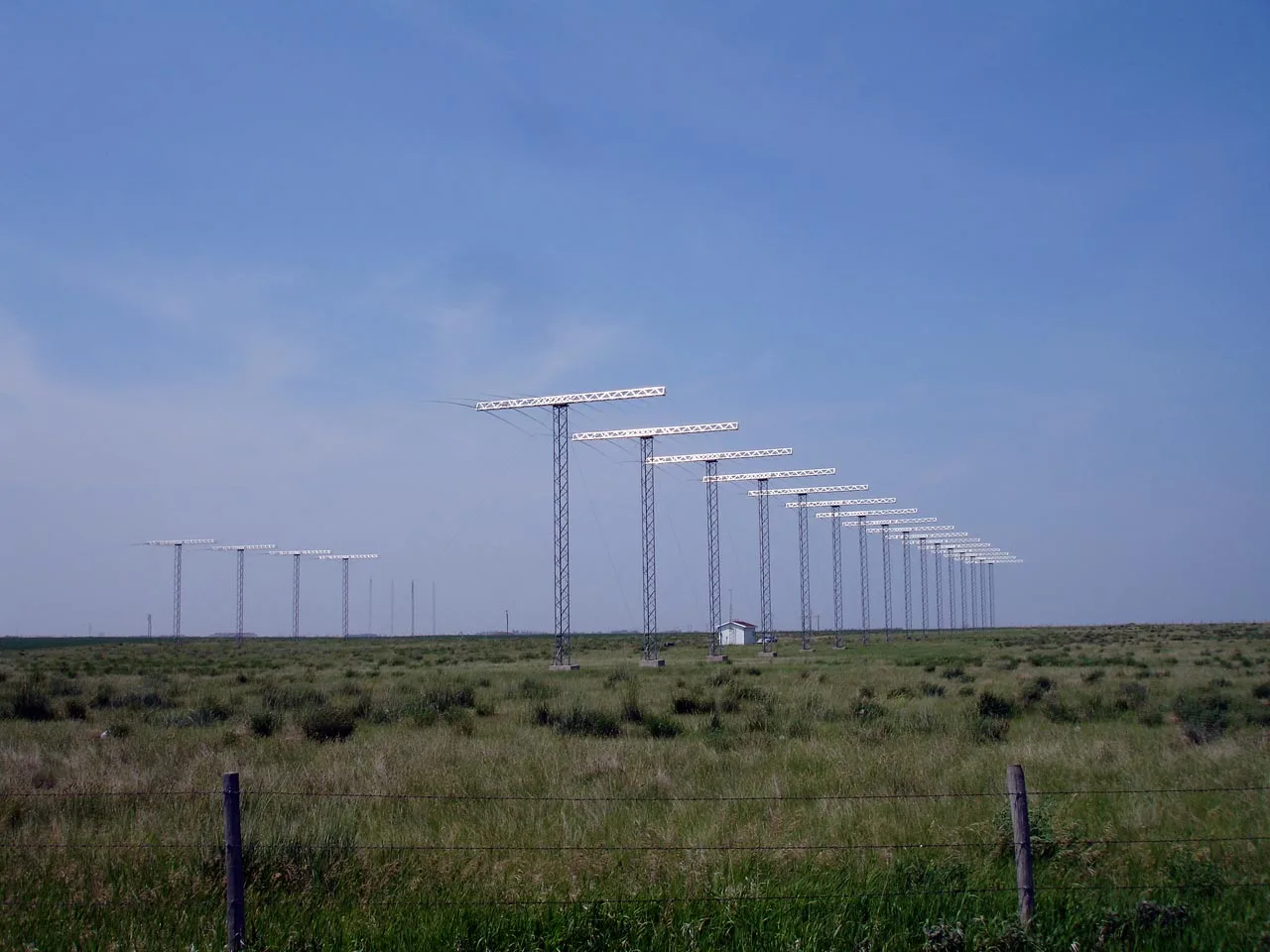
SuperDARN (TIGER) in Tasmania is a research institute (La Trobe University (Australia)) 🌐. SuperDARN (TIGER) is also known as Super Dual Auroral Radar Network. SuperDARN (TIGER) is near Sharps Road. Ⓦ.
- Amenity
- research institute
- Operator
- La Trobe University (Australia)
- Website
- http://superdarn.org/
- Alternative Name
- Super Dual Auroral Radar Network
- Land Use
- meadow
Image
Campsite
Tourist information offices
Parking
Picnic site
Attraction
Viewpoint
Roads nearby
Sharps Road2,0 km
Lobdales Road3,5 km
Grundys Road3,6 km
Blinkbonny RoadBlinkbonny's Blueblerries & Apples
3,9 km
King Road4,6 km
Clennetts Link4,7 km
Cemetery Road4,8 km
Clennetts Road4,9 km
Cleveland Rise5,1 km
Cloudy Bay RoadThe Pines Campground, Sprokkelwood Art Garden
5,2 km
Lighthouse RoadMabel Bay Lookout
5,2 km
Cloudy Bay Beach Track5,3 km
Conleys Road5,4 km
Cuthberts RoadSouth Bruny
5,9 km
Mount Mangana Track6,7 km
Wooreddy Road7,5 km
Barnaby Drive7,6 km
Reef Track8,3 km
East Cloudy Head Track8,4 km
William Carte DriveALonnah store
8,5 km
Bruny Island Main RoadSt Brendan's Catholic Church, Alonnah
8,6 km
Nature nearby
Seagull Rock4,5 km
Curlew Island4,8 km
Mills Reef8,3 km
Arts centres nearby
Blinkbonny Apple Farm3,6 km
Beaches nearby
Cloudy Beaches5,0 km
Cemetery Beach5,3 km
Cloudy Bay Beach8,0 km
Lightouse Jetty Beach8,3 km
Buildings nearby
Bruny Island Premium Wines5,1 km
The Boathouse8,8 km
The Summer House8,8 km
Cemeteries nearby
Lunawanna Cemetery5,2 km
Community centres nearby
Lunawanna Memorial Hall3,7 km
Hotels nearby
Hotel Bruny8,5 km
Nature reserves nearby
Whalebone Way - Lighthouse Road Conservation Covenant850 m
Heathfield - Whalebone Way Conservation Covenant1,2 km
Saintys Creek Conservation Covenant2,6 km
Cloudy Bay Road Conservation Covenant3,0 km
Streams nearby
Saintys Creek2,8 km
Birds Creek3,8 km
Cockerills Creek3,8 km
Jack Jones Creek5,2 km
Sheepwash Creek5,8 km
Mays Creek7,4 km
Murphys Creek8,3 km
Imlays Creek8,5 km
Barnes Creek8,7 km
Other nearby
Mount Mangana Helipad6,4 km
| Has part | Unwin Radar |
|---|
Public transport map South Bruny Legend
| Railway | |
| Bus | |
| Tram |
Cycling map South Bruny Legend
| Cycle path | |
| Cycle lane on road | |
| Cycling on bus lane | |
| Bicycle street | |
| Cyclists allowed | |
| Cyclists allowed, good surface | |
| No cycling | |
| Cobblestones |
| Long-distance cycle route | (depending on scale) | |
| Long-distance cycle route |
Walking map South Bruny Legend
| Path |
| Long-distance hiking trail | (depending on scale) | |
| Long-distance hiking trail | ||
| No pedestrians |