
West Street in Ardeer
West Street in City of Frankston is a single-lane residential street (50 km/h). It runs in a north-south direction and crosses Rockbank Road, Maxweld Street, McLaughlin Street, Suspension Street and Forrest Street. It ends in a cul-de-sac. West Street also exists in Brunswick, Preston, Burnley, Nunawading and Armadale.
- Road Type
- residential street
- Speed Limit
- 50
- Route
- north-south
Image
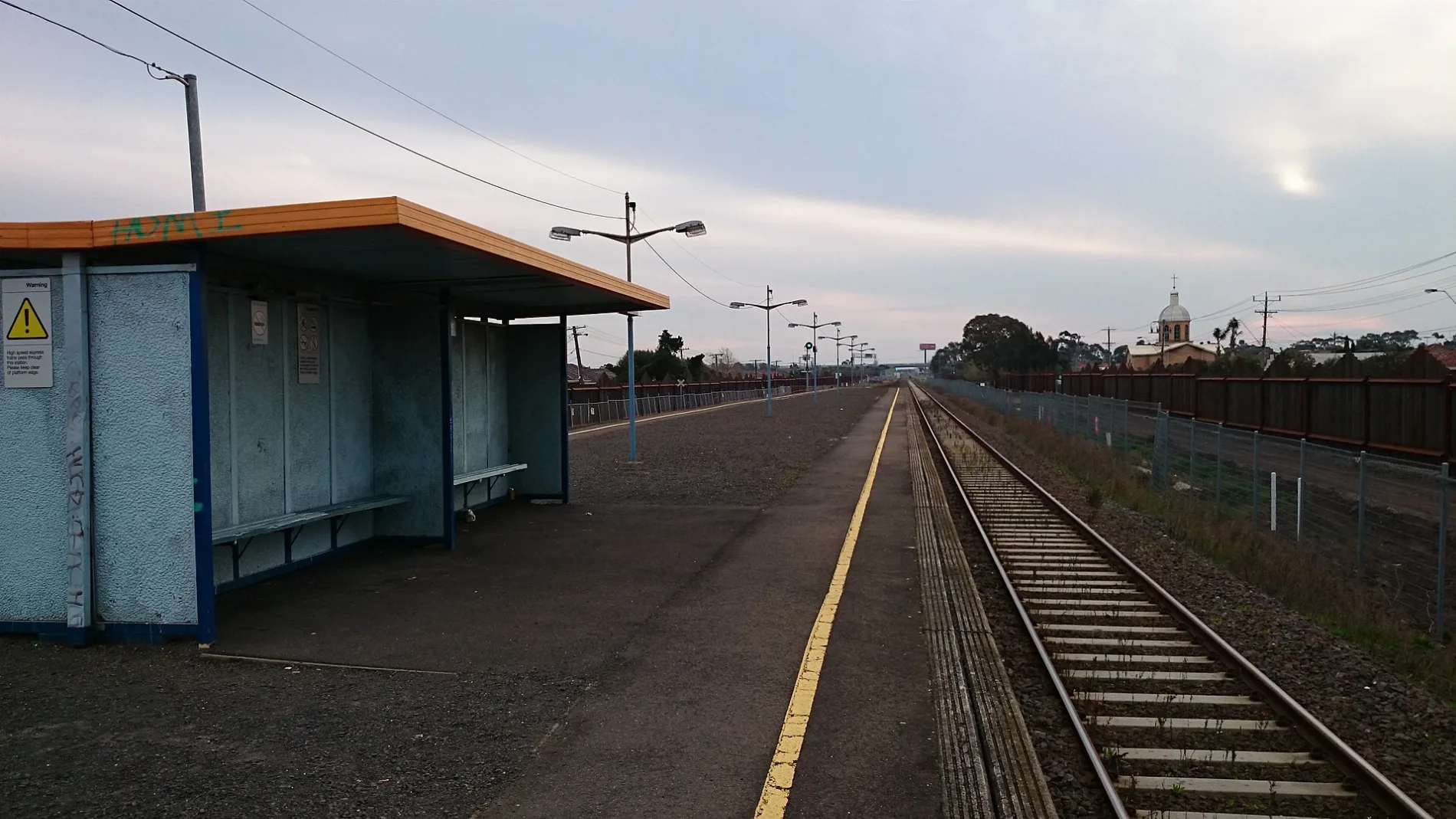
Bus stops
Roads nearby
M80 Trail200 m
Fitzgerald Road200 m
Forrest Street250 m
Blanche Street250 m
Holmes Street250 m
Ridgeway ParadeArdeer
250 m
Nancy Street300 m
Suspension Street300 m
Western Ring Road350 m
Tilburn Road450 m
Langley Street500 m
Sunshine ArdeerArdeer
500 m
Lawrence Street550 m
Daphne Street550 m
M80 Trail / Kororoit Creek Trail550 m
Rockbank Road600 m
Fern Street600 m
Rockwood Street600 m
Kororoit Creek Trail600 m
Whitesides Avenue600 m
Holt Street650 m
James Street650 m
Mark Street650 m
Allison Street650 m
Lorna Crescent650 m
Frank Street650 m
Chandler Street700 m
Glengala RoadFitzgerald Road/Glengala Road, Sunshine College/Glengala Rd, Allison St/Glengala Rd, Lorna Cres/Glengala Rd, Ralph St/Glengala Rd, Evelyn Cres/Glengala Rd, St Paul's Church/Glengala Rd, Links St/Glengala Rd, Krambruk St/Glengala Rd, Mernda Rd/Glengala Rd, Carter St/Glengala Rd, Sunshine West Post Office, Glengala Road Pharmacy, Glengala Hot Food Take-Away, Glengala Fresh Fruit and Veg, Sunshine Dry Cleaners, Cyprus Time, D. & H. Hardware, Vivian Hair & Beauty, Simmie St/Glengala Rd, Sunshine Hot Bread, Vinh Hưng 2 - Butcher, Seafood and Asian Groceries, Bell St/Glengala Rd
750 m
Western Highway Offramp800 m
Yallourn Street800 m
Maxweld Street800 m
Esmond Street800 m
Chelsey Street800 m
Hexham Street800 m
Helene Street800 m
Verdant AvenueArdeer
850 m
Sunhill Crescent850 m
Vernon Crescent900 m
Alden Street900 m
Evelyn CrescentGlengala Hotel
900 m
Ralph Street900 m
Murray Street900 m
Buildings nearby
Ardeer Primary School350 m
Sunshine Heights Cricket Club850 m
Parks nearby
Nancy Street Reserve500 m
More Park800 m
Ainsworth Reserve850 m
Railway lines nearby
Warrnambool / Ararat / Maryborough Line450 m
Streams nearby
Kororoit Creek700 m
 Public transport map Ardeer Legend
| Railway | |
| Bus | |
| Tram |
 Cycling map Ardeer Legend
| Cycle path | |
| Cycle lane on road | |
| Cycling on bus lane | |
| Bicycle street | |
| Cyclists allowed | |
| Cyclists allowed, good surface | |
| No cycling | |
| Cobblestones |
| Long-distance cycle route | (depending on scale) | |
| Long-distance cycle route |
 Walking map Ardeer Legend
| Path |
| Long-distance hiking trail | (depending on scale) | |
| Long-distance hiking trail | ||
| No pedestrians |