
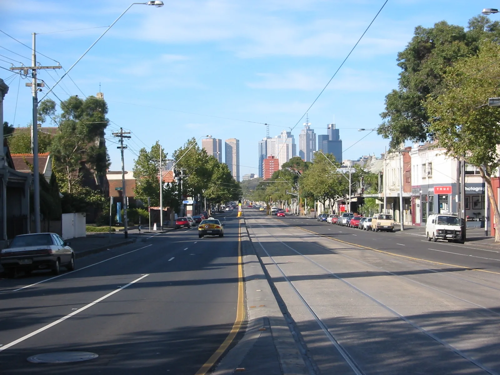
Nicholson Street in Brunswick East
Nicholson Street in City of Frankston is a single-lane, asphalted main road (60 km/h). It runs in a north-south direction starting from Albion Street and crosses Glenmorgan Street, Clarence Street, Harrison Street, Little Bourke Street, Albert Street, Evelyn Place, Victoria Parade, Princes Street, Gertrude Street, Palmer Street and Hanover Street. It connects Brunswick East, Fitzroy North, Carlton, East Melbourne, Fitzroy and Carlton North. In the vicinity, you can find among other things 4 fast food restaurants, 3 cafés, a patisserie and a kindergarten. The nearest stops are Stop 23: Blyth Street, Stop 22: Albert Street, Stop 20: Miller Street and Stop 19: Brunswick Road. The tram lines 96 and 96d and the bus line 503 serve this stop. Nicholson Street also exists in Abbotsford, Balwyn North, Hawthorn East, South Yarra and Nunawading. Ⓦ.
- Road Type
- main road
- Lanes
- 1
- Speed Limit
- 60
- Route
- north-south
Tram stops
- tram lines 96, 96d
Kindergarten
Car repair shops
Convenience stores
Cafés
Bus stops
- bus lines 503
Hairdressers
Jewellers
Roads nearby
Herbert StreetAllotment gardens nearby
CERES Community GardensAttraction nearby
CERES Environment ParkBuildings nearby
Eco HouseCommunity centres nearby
The Cretan Brotherhood of Melbourne and VictoriaFarmlands nearby
Chook GroupFarmyards nearby
ChooksOff-licences nearby
The Bottle-O Lomond HotelParks nearby
Phillips ReservePubs nearby
Lomond HotelSocial facilities nearby
Aboriginal Community EldersStreams nearby
Merri CreekStudios nearby
3RRRTram stops nearby
Stop 23: Blyth StreetVillage greens nearby
Village GreenOther nearby
Cretan Brotherhood Of Melbourne| Named after | William Nicholson |
|---|---|
| Located in | Victoria |
| Country | Australia |
| Railway | |
| Bus | |
| Tram |
| Cycle path | |
| Cycle lane on road | |
| Cycling on bus lane | |
| Bicycle street | |
| Cyclists allowed | |
| Cyclists allowed, good surface | |
| No cycling | |
| Cobblestones |
| Long-distance cycle route | (depending on scale) | |
| Long-distance cycle route |
| Path |
| Long-distance hiking trail | (depending on scale) | |
| Long-distance hiking trail | ||
| No pedestrians |