
UniLodge At Melbourne in Carlton
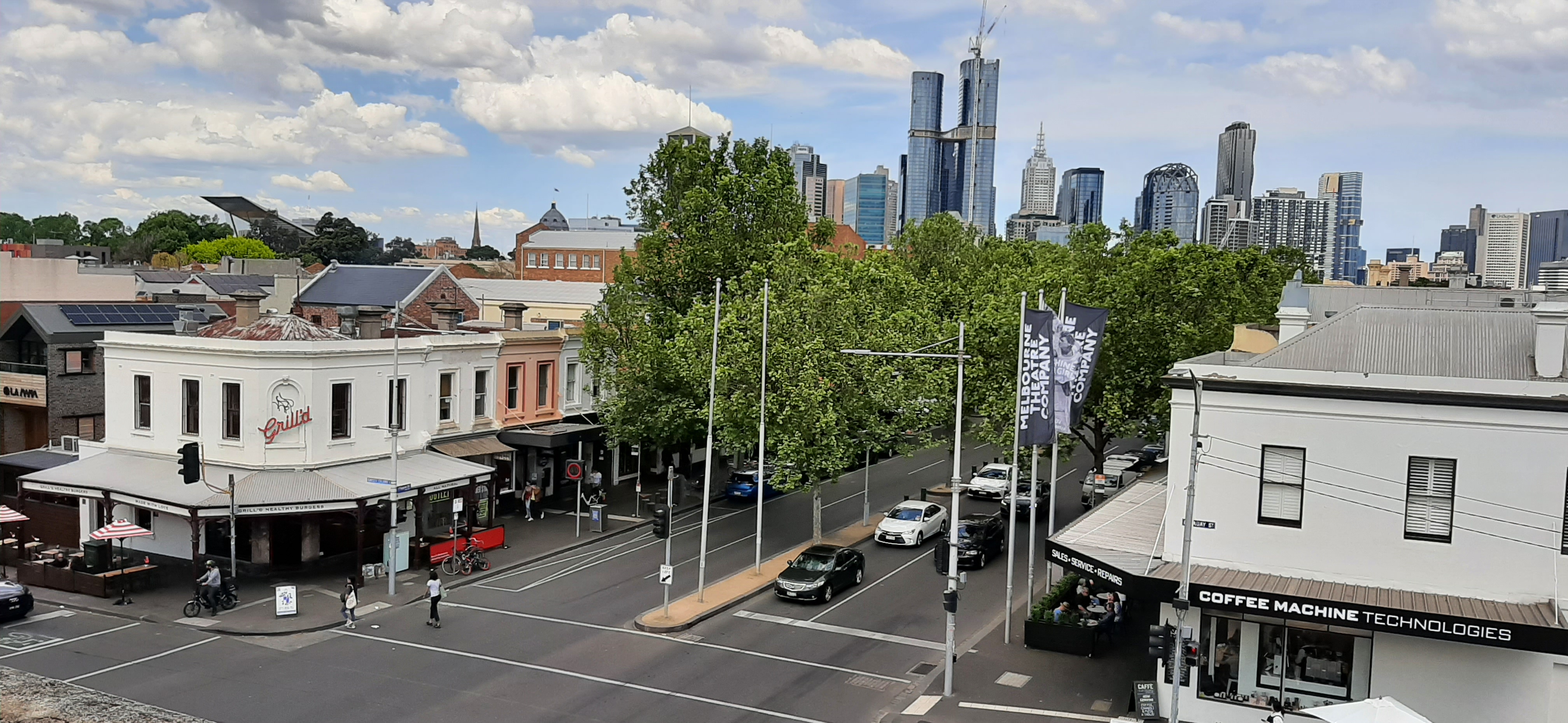
UniLodge At Melbourne in City of Frankston is an apartment building, Swanston Street 740-750 (3053).
- House Number
- 740-750
- Postal Code
- 3053
- Street
- Swanston Street
- Building Type
- apartment building
- Website
- https://www.unilodge.com.au/student-accommodation-melbourne/746-swanston
Image
Bus stops
Convenience stores
Museum
- The Henry Forman Atkinson Dental Museum (wheelchair accessible, University of Melbourne, free, web) at Swanston Street 714-736 (3053) – approx. 50 m.
Kindergarten
Supermarkets
Public telephones
Restaurants
Parking space
Gallery
- Science Gallery (wheelchair accessible, University of Melbourne, opening hours: Wed–Sat 11–17, web) at Grattan Street 114 (3053). Exploring the combination of art & science, Science Gallery Melbourne is part of the Global Science Gallery Network by Trinity College Dublin. – approx. 150 m.
Cafés
- Superfloor Cafe (coffee shop, sandwiches, cake, takeaway, vegetarian options, wheelchair accessible, 200 seats) at Swanston Street 700 (3053). The Superfloor Cafe offers a full drinks menu, ready-made breakfast snacks and a full lunch service, with meals to suit every dietary requirement. – approx. 150 m.
Fast food restaurants
Tram stops
Dentist
Clothing shops
Roads nearby
Monash RoadAustralia Post Parcel Locker, The Amphitheatre, Function Centre, Union Theatre, St Ali Canteen, JH Michell Theatre, Old Geology Theatre 2, Roll'd, Passeggiata (Level 1), Moonfishh, Ho Ho's Xpress (Level 1), Cumming Theatre, Rowden White Library (Levels 2 & 3), Community Kitchen (Level 4), Student Dining, Gate 4
150 m
Stationary LaneDavid Wood Theatre
200 m
Porters LaneGuild Theatre, The Campus General Store, Gong Cha, PappaRich, Thailander, Rice Workshop, HealthSmart Pharmacy, House of Cards, Student Microwave Lounge, George Paton Gallery, Arts Lab
200 m
Engineering LaneAlleyway Kitchen
250 m
Medtech LinkwayAbove Water, Zambrero, University Merchandise Stop
250 m
Wilson AvenueTrial of Socrates
300 m
Malvina PlaceUniversity Square Car Park
300 m
Cussonia CourtUniversity Hall, The Treasury, Public Lecture Theatre, Old Quadrangle Room G18 (Cussonia Court Room 2), Old Quadrangle Room G17 (Cussonia Court Room 1), Old Council Chamber
450 m
Buildings nearby
Eastern Resource Centre (ERC)150 m
Constructions nearby
B168 Site Amenities200 m
University Construction Site400 m
Gardens nearby
Building 160 Courtyard200 m
Melbourne University Community Garden250 m
New Zealand Garden300 m
Quadrangle Lawn350 m
Cussonia Tree400 m
Libraries nearby
Eastern Resource Centre Library (Building 171)200 m
Outdoor seatings nearby
South Court400 m
Parks nearby
1888 Courtyard150 m
Old Geology Courtyard200 m
Welcome Garden200 m
Chemical Engineering Lawn250 m
University Cenotaph Garden350 m
Theatres nearby
Arts & Cultural Building (159)150 m
University buildings nearby
Peter Hall Building (160)150 m
Building 189150 m
Building 168150 m
Old Geology South (156)200 m
Old Geology North (155)250 m
Engineering Workshops250 m
Chemical Engineering 2250 m
Building 161250 m
Mechanical Engineering250 m
Chemistry Building (East Wing) 154250 m
Old Metallurgy Building250 m
Chemical Engineering 1250 m
Old Engineering School300 m
Walter Boas Building300 m
Chemistry Building (West Wing)300 m
Infrastructure Engineering (Block D)300 m
Electrical & Electronic Engineering Building (193)300 m
Raymond Priestley Building (152)300 m
Wilson Hall (Buildng 151)350 m
John Medley Building (191)350 m
Infrastructure Engineering (Block C)350 m
Old Quadrangle (North Wing) (150)400 m
Infrastructure Engineering (Block B)400 m
Building 188400 m
Old Physics Building (128)450 m
Other nearby
MacFarland Court350 m
Public transport map Carlton Legend
| Railway | |
| Bus | |
| Tram |
Cycling map Carlton Legend
| Cycle path | |
| Cycle lane on road | |
| Cycling on bus lane | |
| Bicycle street | |
| Cyclists allowed | |
| Cyclists allowed, good surface | |
| No cycling | |
| Cobblestones |
| Long-distance cycle route | (depending on scale) | |
| Long-distance cycle route |
Walking map Carlton Legend
| Path |
| Long-distance hiking trail | (depending on scale) | |
| Long-distance hiking trail | ||
| No pedestrians |