
Loring Lane in Doncaster
Loring Lane in City of Frankston is an asphalted service road. It runs in an east-west direction starting from Harvest Court and ends at Harvest Court.
- Road Type
- service road
- Route
- east-west
Image
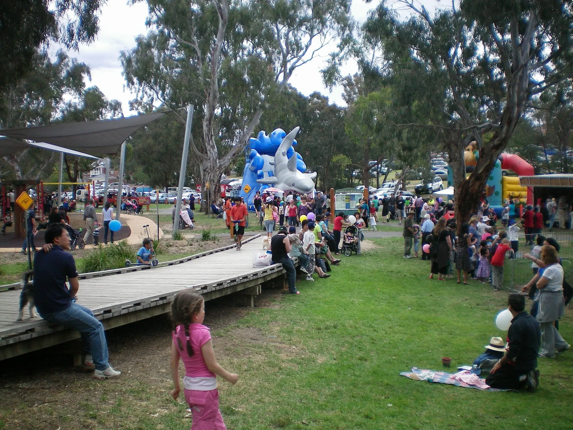
Hairdressers
Bus stops
Roads nearby
Harvest Court50 m
Robin Court100 m
Bounty Place100 m
Donald Place150 m
Bloom Street150 m
Williamsons RoadHenry Street, Montpellier Crescent, St Georges Avenue, Eucalypt Avenue, Manningham Road, Aquarena Leisure Centre
150 m
Graeme Close250 m
Stanley Drive250 m
Magnolia Court250 m
Diosma Court250 m
Leyte Close250 m
Clancys Lane250 m
Maverick Close250 m
Viscount Drive300 m
Scenic Rise300 m
Cantala Drive300 m
Henry Street300 m
Park Hill Way350 m
Lignum Court350 m
Pagoda Court350 m
Murillo Court350 m
Netley Rise400 m
Margot Avenue400 m
Crouch Court400 m
Martin Court400 m
Ivan Street450 m
Birbank Court450 m
Althea Place450 m
Gairlock Court500 m
Hill Court550 m
Winston Drive550 m
Penda Close550 m
Ruffey Lake Circuit600 m
Judith Court600 m
The Boulevarde600 m
Ruffey Creek Trail600 m
Botanic Drive650 m
Astran Place650 m
Lansell Drive700 m
Erin Court700 m
Board Street750 m
Saxon Street750 m
Benton Court750 m
Council Street800 m
Body of waters nearby
Bonview Sediment Pond500 m
Drains nearby
Ruffey Creek600 m
Playgrounds nearby
Ruffey Lake Park - The Boulevard Adventure Playground500 m
Sports centres nearby
Aquarena Aquatic and Leisure Centre250 m
Wetlands nearby
Bonview Wetland550 m
 Public transport map Doncaster Legend
| Railway | |
| Bus | |
| Tram |
 Cycling map Doncaster Legend
| Cycle path | |
| Cycle lane on road | |
| Cycling on bus lane | |
| Bicycle street | |
| Cyclists allowed | |
| Cyclists allowed, good surface | |
| No cycling | |
| Cobblestones |
| Long-distance cycle route | (depending on scale) | |
| Long-distance cycle route |
 Walking map Doncaster Legend
| Path |
| Long-distance hiking trail | (depending on scale) | |
| Long-distance hiking trail | ||
| No pedestrians |