
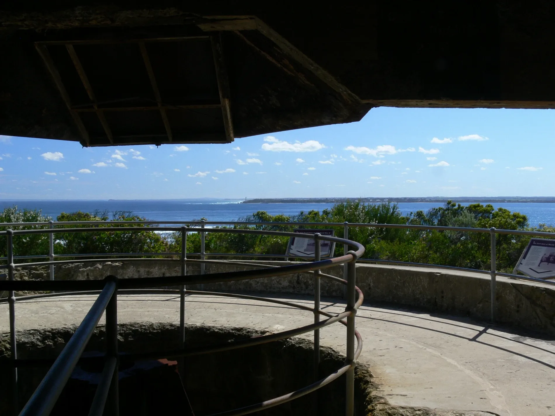
Gun 4 entry in Portsea
Gun 4 entry in City of Frankston is an unpaved footpath and runs in a southeast-northwest direction.
- Bicycle
- no
- Road Type
- footpath
- Route
- southeast-northwest
Bus stops
Roads nearby
Defence RoadFront Entrance - NP shuttle bus, Gunners Cottage - NP shuttle bus, Eagle's Nest, Lookout, Cheniot Hill (Harold Holt Memorial) - NP shuttle bus, Fort Pearce - NP shuttle bus, Fort Nepean - NP Shuttle Bus
450 m
Range Area Walk1,5 km
Butlers Track2,3 km
Walter Pisterman TrackCastle Jetty, Boundary Fence
2,5 km
Coles Track2,5 km
Crows Nest Place3,5 km
Flinders Street3,5 km
The Esplanade3,5 km
Swanston Street3,6 km
Mercer Street3,6 km
Stevens Street3,6 km
St Andrews Street3,6 km
Hesse StreetPanache Cafe and Creperie, IGA Local Grocer, Queenscliff library, Historical Museum, Wirrng Wirrng, Ocean View Kiosk, Rip View Bistro
3,7 km
Fraser Street3,7 km
Smith Street3,7 km
Raglan Street3,7 km
Henry Street3,7 km
Lovers WalkThe Narrows
3,7 km
King StreetSprockt, Queenscliff General Store
3,8 km
Queen Street3,8 km
Stokes StreetThe Vestry Shop, Willow Tree Cafe
3,9 km
Dod Street4,0 km
Nankervis Parade4,0 km
Bethune Street4,0 km
Gellibrand StreetQueenscliff Police Station, Trident Fish Bar
4,1 km
Tobin Drive4,1 km
Bellarine Rail Trail4,1 km
Learmonth Street4,1 km
Attraction nearby
Gun Emplacment 6150 m
Rifle Range2,3 km
25 Metre Range3,0 km
Beaches nearby
Queenscliff - Pier Beach3,7 km
Buildings nearby
Camp Kitchen3,5 km
Queenscliff Dive Centre4,0 km
Queenscliff Lonsdale Yacht Club.4,1 km
Campsite nearby
Victoria Park Campground3,7 km
Caravan site nearby
Queenscliff Recreational Reserve Caravan Park3,5 km
Cemeteries nearby
Point Nepean Cemetery2,3 km
Cliffs nearby
Shortland Bluff3,5 km
Heaths nearby
Monash Break2,7 km
Industrial buildings nearby
Gun emplacement450 m
Military areas nearby
Fort Queenscliff3,6 km
Public toilets nearby
Toilet Block3,9 km
Reefs nearby
Victory Shoal3,1 km
Drapers Reef3,9 km
Sports pitches nearby
Queenscliff Cricket Nets3,4 km
Queenscliff Netball Courts3,4 km
Queenscliff Recreation Reserve3,4 km
Other nearby
Geelong - Devonport3,1 km
 Public transport map Portsea Legend
| Railway | |
| Bus | |
| Tram |
 Cycling map Portsea Legend
| Cycle path | |
| Cycle lane on road | |
| Cycling on bus lane | |
| Bicycle street | |
| Cyclists allowed | |
| Cyclists allowed, good surface | |
| No cycling | |
| Cobblestones |
| Long-distance cycle route | (depending on scale) | |
| Long-distance cycle route |
 Walking map Portsea Legend
| Path |
| Long-distance hiking trail | (depending on scale) | |
| Long-distance hiking trail | ||
| No pedestrians |