
Duke Street in Richmond
Duke Street in City of Frankston is a residential street. There is no cycle path. It runs in a north-south direction and ends at Wall Street. In the vicinity, there is a car repair shop. The nearest stop in the vicinity is Stop 20: Coppin Street (approx. 400 m away). Duke Street also exists in Abbotsford, Brunswick East, Fitzroy, Kew and Epping.
- Road Type
- residential street
- Route
- north-south
Image
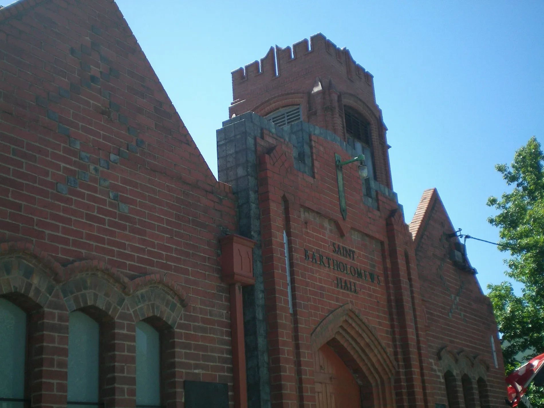
Car repair shops
Roads nearby
Bolger Place150 m
Wall Street150 m
Wall Place150 m
Murray Street150 m
Coppin StreetVietnamese Church of Christ, Richmond, Naturally U Body & Soul
150 m
Theresa Street150 m
Reeves Crescent200 m
James Scullin Court250 m
Benson Street250 m
Abinger Place250 m
Princess Street250 m
Malleson StreetOff The Hook - Audio Guest Book
300 m
Shaw Street350 m
Sheedy Street350 m
George Street350 m
Princess Street North350 m
Abinger StreetRichmond
350 m
Parker Street400 m
Foster Place400 m
Francis Street400 m
Lyndhurst Street400 m
Spencer Place400 m
Hosie Street400 m
Pandoleon Lane450 m
McGrath Court450 m
Waterloo PlaceKritamos
500 m
Brougham Street500 m
Stockade Lane500 m
Darlington ParadeRio's
550 m
Waltham PlaceRichmond Uniting Church, Church Street Medical Centre
550 m
Gleadell StreetRichmond Multicultural Children's Centre, Gleadell Street Market
550 m
Tullo Place600 m
Hodgson Terrace600 m
Berry Street650 m
Beauty salons nearby
La Que600 m
Buildings nearby
Former Lalor House500 m
Richmond Union Bowling Club600 m
Cafés nearby
Bohème400 m
Outdoor shops nearby
Barbeques Galore650 m
Parks nearby
Dame Nellie Melba Memorial Park200 m
Cairns Reserve350 m
Peppercorn Park600 m
Pubs nearby
Spread Eagle Hotel400 m
The Sporting Globe500 m
The Vine Hotel650 m
Residential areas nearby
Madre Nazarena Student's House450 m
Restaurants nearby
Vietnam Town600 m
Town halls nearby
Richmond Town Hall600 m
Tram lines nearby
Bridge RoadLittle Bridge Cafe, Richmond Hill Cellars, Rasta Lion Wear, 14 Bridge, The Piano Thai Restaurant & Bar, Richmond Jolimont Convenience Store, Stop 14: Punt Road, Trophywife, Mother and Daughter, Opus 15, Stop 15: Epworth Hospital, Slade Pharmacy, Fifty Acres, Pho Rolls 62, Vlado's, Oster Eatery, Mr John Cunningham, IGA, TFM The Freedom Machine, Stop 22: Yarra Boulevard, Amora Hotel Riverwalk, Stop 22: Westbank Terrace, Coles Express, Anthea Crawford Clearance Store, The Motley Hotel Richmond, Tapestry Collection by Hilton, JR Mobile, The Doll House, Soap Bar Launderette, Bathroomware House Richmond Pty Ltd, Stop 21: Burnley Street, Kathmandu, ANZ, Stop 17: Bosisto Street, Stop 17: Waltham Street, Richmond Dogs, Krua Thai - Richmond, Riché, Phoenix & Co Barbering, Mr William Edwards, Richmond Hill Cafe & Larder, Cotton Mouth, Midside Vietnamese Bakery, Nina Thai Massage, Stop 18: Church Street, Stop 19: Richmond Town Hall, Pho N Roll, The Fish Market, I Love Dumplings, Dimmeys, Commonwealth Bank, Body Active Therapies, Frederick's Local Grocery, P. Moshidis Bridge Road Pharmacy, Cobb Lane, Priceline Pharmacy, Siricco, House of Handmade, Recovery Lab, Reverence Tattoo, Cane-line, Leviathan tattoo gallery, The Hungarian, The Music Man, Gurkahs Cafe, Anchovy, Plush, Smokey Chooks, Bottlemart, Chemist Warehouse, Pizza, Laikon Deli, Stop 20: Coppin Street, Thrifty, Mascot Cycles, Fritz Gelato, Ca Com Bánh Mì Bar, RSEA Safety, Gypsey & Musquito, Twelve Board Store, Touchwood, Adairs
650 m
Tram stops nearby
Stop 18: Church Street650 m
 Public transport map Richmond Legend
| Railway | |
| Bus | |
| Tram |
 Cycling map Richmond Legend
| Cycle path | |
| Cycle lane on road | |
| Cycling on bus lane | |
| Bicycle street | |
| Cyclists allowed | |
| Cyclists allowed, good surface | |
| No cycling | |
| Cobblestones |
| Long-distance cycle route | (depending on scale) | |
| Long-distance cycle route |
 Walking map Richmond Legend
| Path |
| Long-distance hiking trail | (depending on scale) | |
| Long-distance hiking trail | ||
| No pedestrians |