
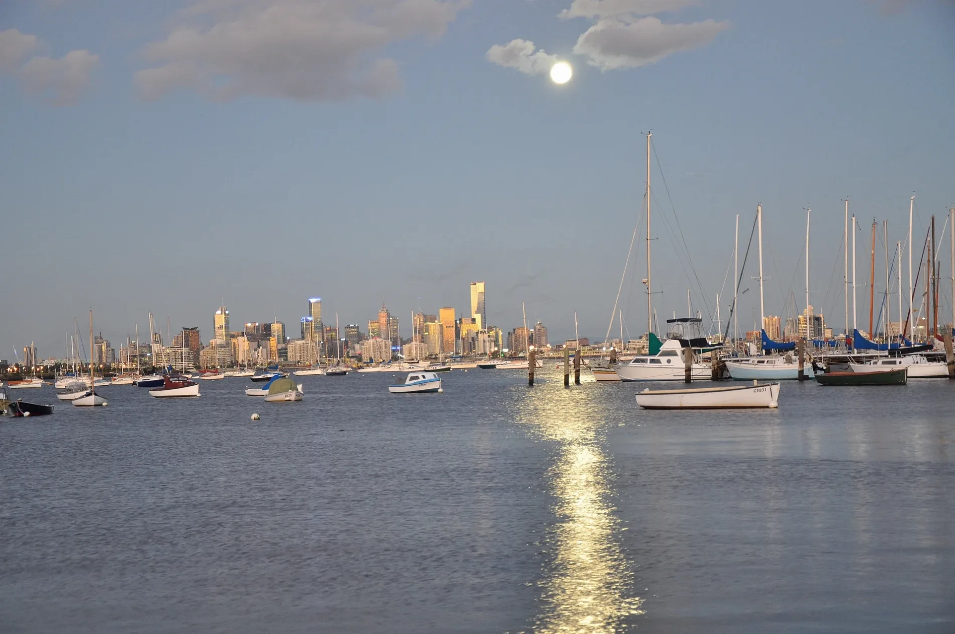
Thompson Street in Williamstown
Thompson Street in City of Frankston is a tertiary road. It runs in a northeast-southwest direction starting from Nelson Place and crosses Aitken Street, Cecil Street, Hanmer Street, Norval Close, Railway Terrace, Osborne Street, Twyford Street, Illawarra Street, Homewood Lane and Esplanade and ends at Morris Street. Thompson Street also exists in Watsonia, Abbotsford, Kensington, Ormond and Glen Waverley.
- Road Type
- tertiary road
- Route
- northeast-southwest
Image
Pubs
Hairdressers
Ice cream parlours
Interior decorators
Restaurants
Drinking water fountains
Ticket shops
Cafés
Fast food restaurants
Platforms
- bus lines 471
Beauty salons
Tourist information offices
Roads nearby
Council Lane100 m
Steampacket Lane150 m
Aitken StreetMym fit, Steam Packet Hotel
150 m
Stafford Place200 m
Cropper Place200 m
Cecil StreetThe Stags Head Hotel, Regional Farmers Markets
200 m
Pope Place250 m
Ellery Lane250 m
Ann StreetOld Williamstown Morgue
250 m
Heriot Place250 m
Syme StreetHobsons Bay Visitor Information Centre, Off the Pier Fish & Chippery, Melbourne Seaplanes Terminal, Pelican's Landing, Aligned Corporate Residences Williamstown
300 m
Norval Close350 m
Charles Grimes Court350 m
Osborne StreetFearon Reserve, Williamstown Botanic Gardens
400 m
Smith Street400 m
Windsor Terrace400 m
Kanowna Street500 m
Morris Street500 m
Railway TerraceWilliamstown 1, Williamstown
550 m
Abandoned railways nearby
Siding E250 m
Siding D300 m
Weighbridge siding350 m
C.E. Clement & Co Siding 11400 m
Goods Line to pier400 m
10400 m
Engine Shed450 m
Passenger line to pier450 m
Public Siding500 m
4500 m
Repair Road550 m
1550 m
3550 m
5550 m
Apartment buildings nearby
Floyd Lodge200 m
Gem Apartments400 m
Buildings nearby
3rd Williamstown Scouts100 m
Customs House Hotel200 m
Rosny Apartments300 m
Parks Victoria350 m
Nelson House450 m
Former Britannia Hotel450 m
Constructions nearby
Waterline Place400 m
Parks nearby
Rotary Park250 m
Platforms nearby
Platform 1300 m
Playgrounds nearby
Rotary Park Playground250 m
Police stations nearby
Williamstown Police Station300 m
Pubs nearby
Pirates Tavern400 m
Railway lines nearby
Williamstown Line250 m
Shelters nearby
Commonwealth Reserve Band Rotunda300 m
 Public transport map Williamstown Legend
| Railway | |
| Bus | |
| Tram |
 Cycling map Williamstown Legend
| Cycle path | |
| Cycle lane on road | |
| Cycling on bus lane | |
| Bicycle street | |
| Cyclists allowed | |
| Cyclists allowed, good surface | |
| No cycling | |
| Cobblestones |
| Long-distance cycle route | (depending on scale) | |
| Long-distance cycle route |
 Walking map Williamstown Legend
| Path |
| Long-distance hiking trail | (depending on scale) | |
| Long-distance hiking trail | ||
| No pedestrians |