
Newport
Newport is located in City of Hobsons Bay. About 12,916 people live here (as of 2016). Between 2016 and 2021, the population grew from 12,916 to 13,658. The region lies at 17 metres above sea level. Newport has around 529 streets. The postal codes are 3015. Newport is suburb of Melbourne, Victoria, Australia. Among other things, Newport has public transport, restaurants, cafés, hairdressers and pharmacies.
Newport – Facts
| Inhabitants | 12916 |
|---|---|
| Elevation | 17 m |
| Located in | Victoria, City of Hobsons Bay |
| Postal code | 3015 |
| Country | Australia |
Data source: Wikidata (CC0)
Photos from Newport
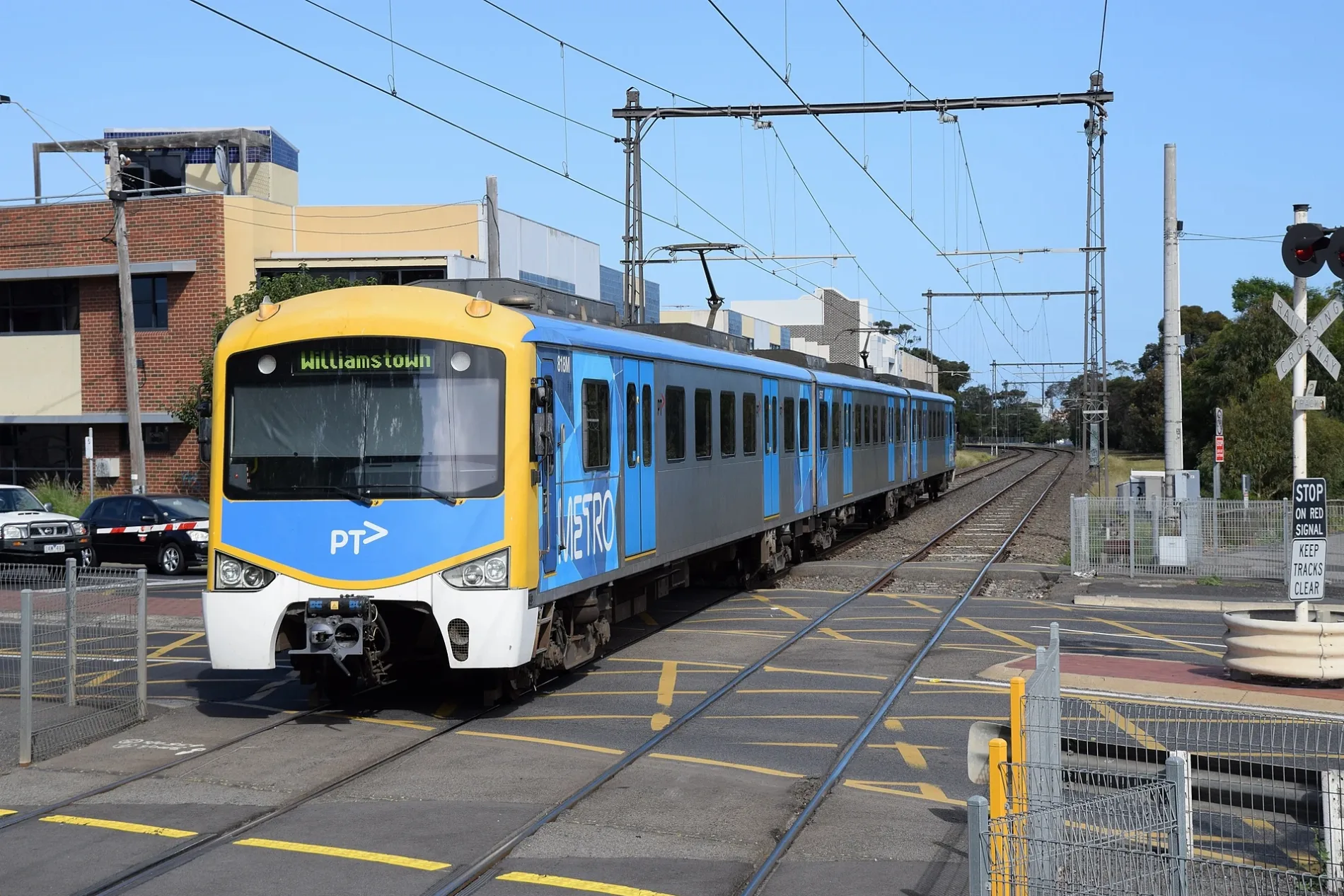
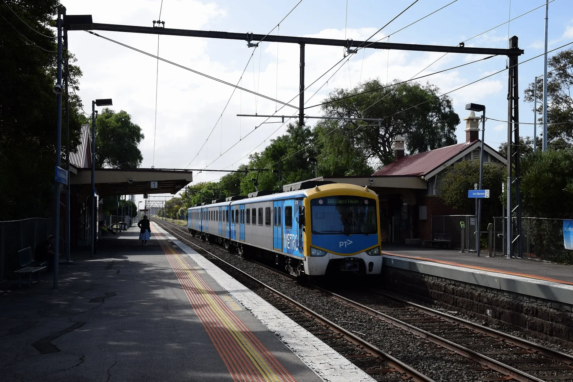
Roads in Newport
Roads
Mason Street
Newport Pharmacy, Routleys Bakery, Newport Discount Chemist, Tiamo Hair Design, Oxford St/Mason St, Bradley St/Mason St, Hansen St/Mason St, Graham St/Mason St, Leslie St/Mason St, Elizabeth St/Mason St, Laurie St/Mason St, Madigan Reserve/Mason St, Tobacconist, Tony's, The Empress, Happy Apple, 471 Williamstown, Newport Interchange, Newport Interchange/Mason St, Eddie the Butcher, roundabout laundromat, Newport Sea Catch, Nstyle Nails, Pizza Train, Aware Health, Sammy's Bakehouse, Mirls St/Mason St
Melbourne RoadNorth Rd/Melbourne Rd, Wilkins St/Melbourne Rd, Ross St/Melbourne Rd, Newcastle St/Melbourne Rd, Parkiteer, Newport Laundrette, Maskey Massage, Mama Teresa, Serenity Kids, Jenny's Hair Salon, Indi Kitch, Mason St/Melbourne Rd, Footprint Positive Feeds, Jackson Reserve/Melbourne Rd, DIY Dog Wash, John H Kerr Residential Home, Paine St/Melbourne Rd
Douglas ParadeThe Pint of Milk, Pantellis, Dowman St/Douglas Pde, Little Asia, Bunbury St/Douglas Pde, Yarra St/Douglas Pde, Union St/Douglas Pde, Hotham St/Douglas Pde, Wilkins St/Douglas Pde, Braw St/Douglas Pde, Princes St/Douglas Pde, Newport Park/Douglas Pde
Hall StreetTodd Hairdressing, Friendly Grocer, Malt and Vine Bottle Shop, Melbourne The Eatery, Newport 1, Body Treatment, Devil's Ink Tattoo, Newport 2, The Hart Gallery
Woods StreetChallis St/Woods St, Jack St/Woods St, Newport Gardens PS/Woods St, Thorpe St/Woods St, Carmen St/Woods St
Blackshaws RoadFittis St/Blackshaws Rd, Vernon St/Blackhsaws Rd, Truman St/Blackshaws Rd, Saltley St/Blackshaws Rd, Centreline Tyre & Auto Service, Watt St/Blackshaws Rd
Blenheim RoadAltona Miniature Railway, Bayside Sec Col/Blenheim Rd, Mason St/Blenheim Rd, Woods St/Blenheim Rd, Abbeygate St/Blenheim Rd
Ferguson StreetNorth Williamstown 2, North Williamstown 1, North Williamstown Station/Ferguson St
Jack StreetSpeight St/Jack St, Ford St/Jack St
Jubilee StreetChallis St/Jubilee St, Revo St/Jubilee St
Market StreetNewport Library, Newport Interchange
North RoadHome Rd/North Rd
Maddox RoadWoods St/Maddox Rd, Jubilee St/Maddox Rd
Severn StreetElephant Cafe
Aphrasia LaneBP
Deborah LaneNewport 1881
Shea StreetRail Academy Newport
Thames PlaceNewport
Challis StreetNewport West LPO
Holland Court
Tait Street
Derwent Street
Newcastle Street
Junction Street
Mulholland Lane
Collingwood Road
Revo Street
Fittis Street
Wills Place
Gordon Street
Agg Street
High Street
Loft Reserve Road
Keen Street
Irving Street
Grieves Street
Rupert Street
Power Street
Latrobe Street
Mirls Street
Walker Street
Grindlay Street
Rosemary Lane
Bruce StreetBody of waters
Buildings
Car repair shops
Charity shops
Clinics
Convenience stores
Doctor's practice
Fast food restaurants
Hairdresser's
Industrial areas
Industrial buildings
Massage parlours
Museum
Parks
Places of worship
Restaurants
Scrublands
Specialist shops
Tyre shops
Public transport map Newport Legend
| Railway | |
| Bus | |
| Tram |
Cycling map Newport Legend
| Cycle path | |
| Cycle lane on road | |
| Cycling on bus lane | |
| Bicycle street | |
| Cyclists allowed | |
| Cyclists allowed, good surface | |
| No cycling | |
| Cobblestones |
| Long-distance cycle route | (depending on scale) | |
| Long-distance cycle route |
Walking map Newport Legend
| Path |
| Long-distance hiking trail | (depending on scale) | |
| Long-distance hiking trail | ||
| No pedestrians |