
Shepherd Court in Williamstown North
Shepherd Court in City of Hobsons Bay is a two-lane, asphalted residential street and runs in an east-west direction and ends at Lemmon Street, while the other end is a cul-de-sac. Shepherd Court also exists in City of Greater Geelong, City of Kingston and Shire of Wellington.
- Road Type
- residential street
- Lanes
- 2
- Route
- east-west
Image
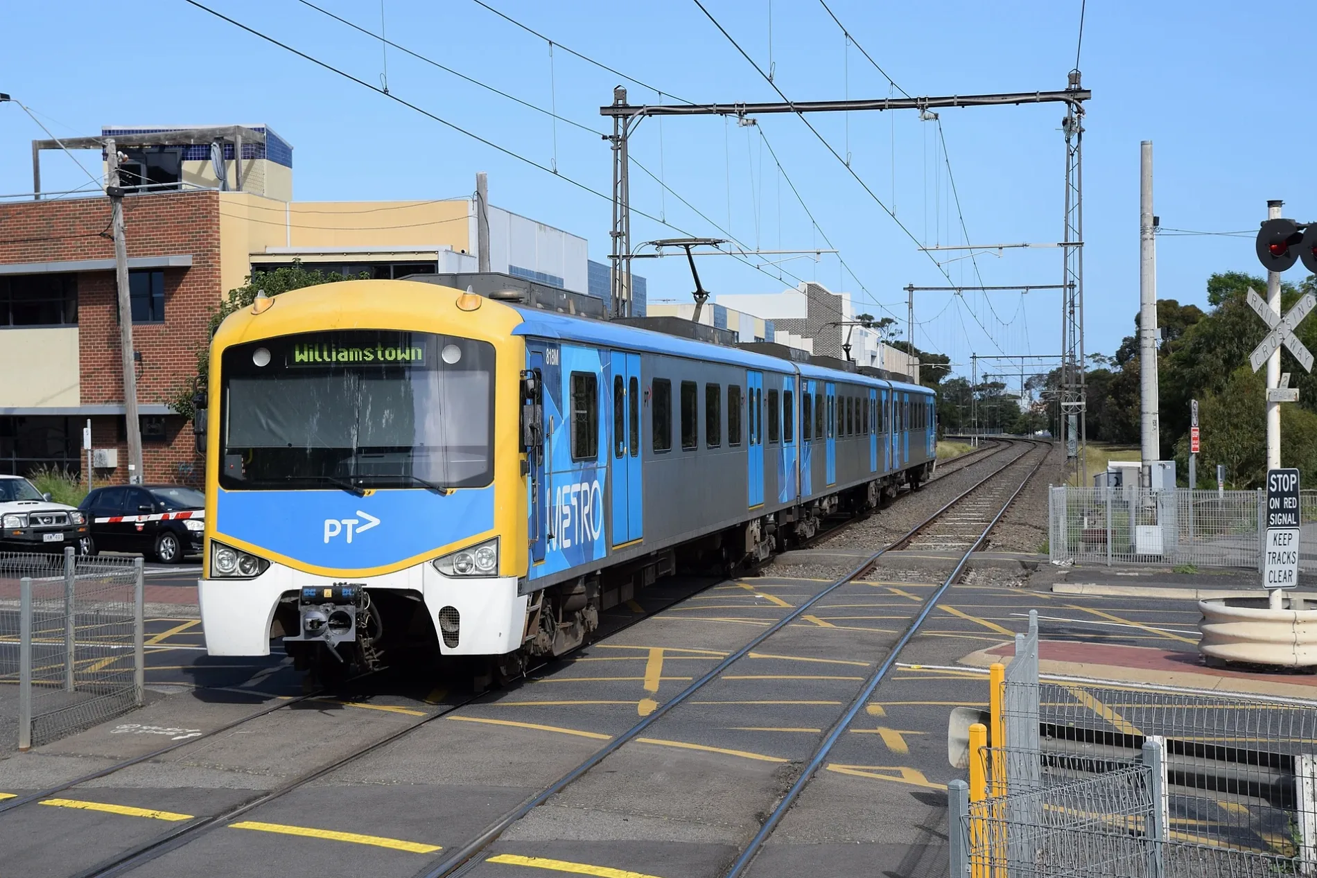
Antique shops
Seafood shops
Fast food restaurants
Bus stops
Furniture shops
Car repair shops
Door shops
Pet shops
Tyre shops
Car hires
Roads nearby
Lemmon Street50 m
Rifle Range Drive200 m
Whittaker Court250 m
Gem Street250 m
Park Crescent250 m
Cerberus Crescent250 m
Adeline Street300 m
Kororoit Creek RoadAdeline St/Kororoit Creek Rd, Myrtle St/Kororoit Creek Rd, Bayside College/Kororoit Creek Rd, Williamstown Aquarium, Orange St/Kororoit Creek Rd, Williamstown Wheels & Tyres, Alvamira Seafoods, Hobsons Bay Caravan Park/Kororoit Creek Rd, Techno Park Dr/Kororoit Creek Rd, Swanston St/Kororoit Creek Rd, Restorer's Barn, Ganton Ct/Kororoit Creek Rd
300 m
Burgoyne Court300 m
Swanston Street350 m
Bayview Street350 m
Knight Mews350 m
Parker Mews350 m
Edina Street350 m
Freyer Street400 m
Schutt Court400 m
Castle Street400 m
Champion RoadTool Market Australia, Troya Living
400 m
Power Street400 m
Pentland Street400 m
Victoria StreetCollins St/Victoria St, Laverton St/Victoria St, Knight St/Victoria St, Gellibrand St/Victoria St, Osborne St/Victoria St
400 m
Sadler Street450 m
Collins Street450 m
Ferguson StreetNorth Williamstown 2, North Williamstown 1, North Williamstown Station/Ferguson St
450 m
Station Lane450 m
Kokoda Road450 m
Railway PlaceWilliamstown Beach rail replacement stop
500 m
Station Road500 m
Railway CrescentWilliamstown Beach 1, Williamstown Beach 2, Authentic Skin and Laser
500 m
Federal Street500 m
West Court500 m
Courtis Street500 m
President Lane500 m
Burgoyne Lane500 m
Winifred Street500 m
Jobson Street550 m
Smith Avenue550 m
Anzac Crescent600 m
Convenience stores nearby
7-Eleven300 m
Museum nearby
Newport Railway Museum200 m
Off-licences nearby
BWS400 m
Parks nearby
Edina Street Reserve250 m
Gray Reserve500 m
Pubs nearby
Rifle Club Hotel400 m
Railway lines nearby
Down Williamstown600 m
Up Williamstown600 m
Railway stations nearby
North Williamstown350 m
Retail buildings nearby
Rifle Range Shopping Centre350 m
Sports pitches nearby
Williamstown Croquet Club550 m
Public transport map Williamstown North Legend
| Railway | |
| Bus | |
| Tram |
Cycling map Williamstown North Legend
| Cycle path | |
| Cycle lane on road | |
| Cycling on bus lane | |
| Bicycle street | |
| Cyclists allowed | |
| Cyclists allowed, good surface | |
| No cycling | |
| Cobblestones |
| Long-distance cycle route | (depending on scale) | |
| Long-distance cycle route |
Walking map Williamstown North Legend
| Path |
| Long-distance hiking trail | (depending on scale) | |
| Long-distance hiking trail | ||
| No pedestrians |