
Williamstown
Williamstown is located in City of Hobsons Bay. About 13,969 people live here (as of 2016). Between 2016 and 2021, the population grew from 13,969 to 14,407. The region lies at 14 metres above sea level. Williamstown has around 683 streets. The postal codes are 3016. The dialling code is 03. The name goes back to William IV (King of the United Kingdom and Hanover from 1830 to 1837) Williamstown is suburb of Melbourne, Victoria, Australia. Among other things, Williamstown has public transport, hotels, restaurants, cafés, supermarkets, clothing stores, attractions, banks, hairdressers, dentists and pharmacies. For more information, see www.williamstownonline.net.
Williamstown – Facts
| Inhabitants | 13969 |
|---|---|
| Named after | William IV |
| Elevation | 14 m |
| Located in | Victoria, City of Hobsons Bay |
| Postal code | 3016 |
| Country | Australia |
| Website | http://www.williamstownonline.net/ |
Data source: Wikidata (CC0)
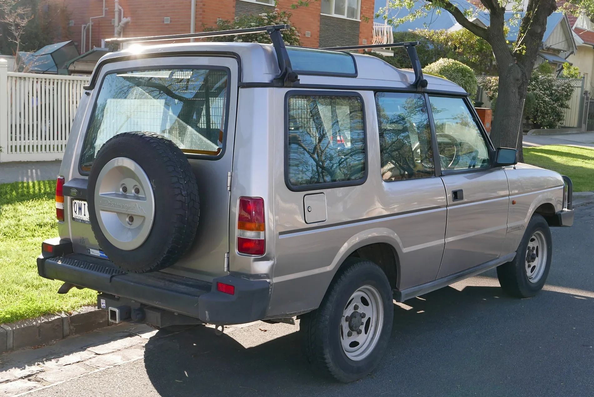
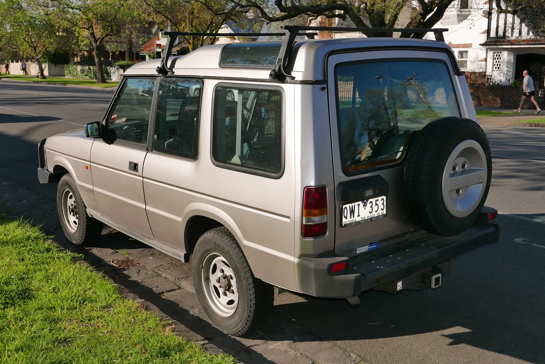
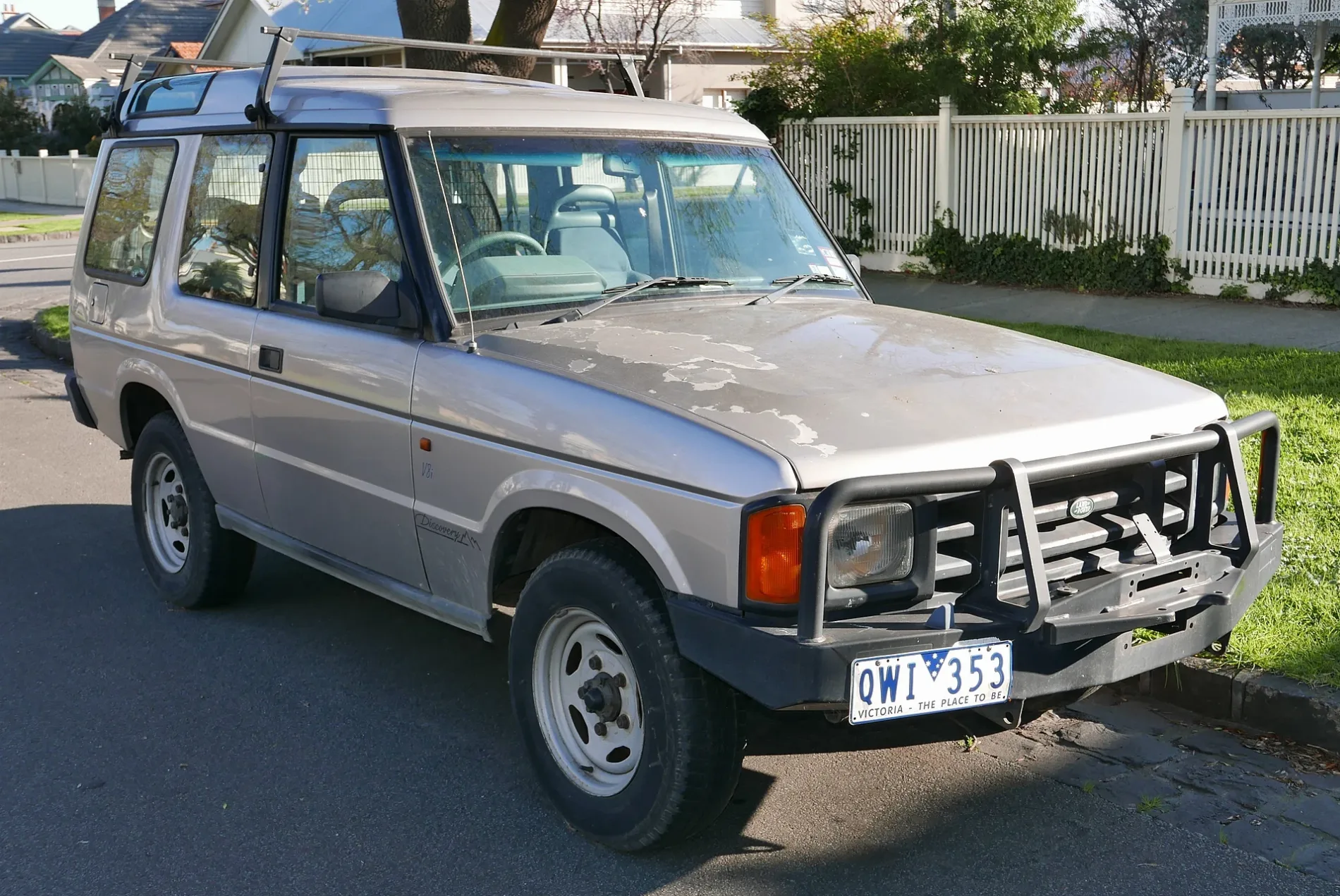
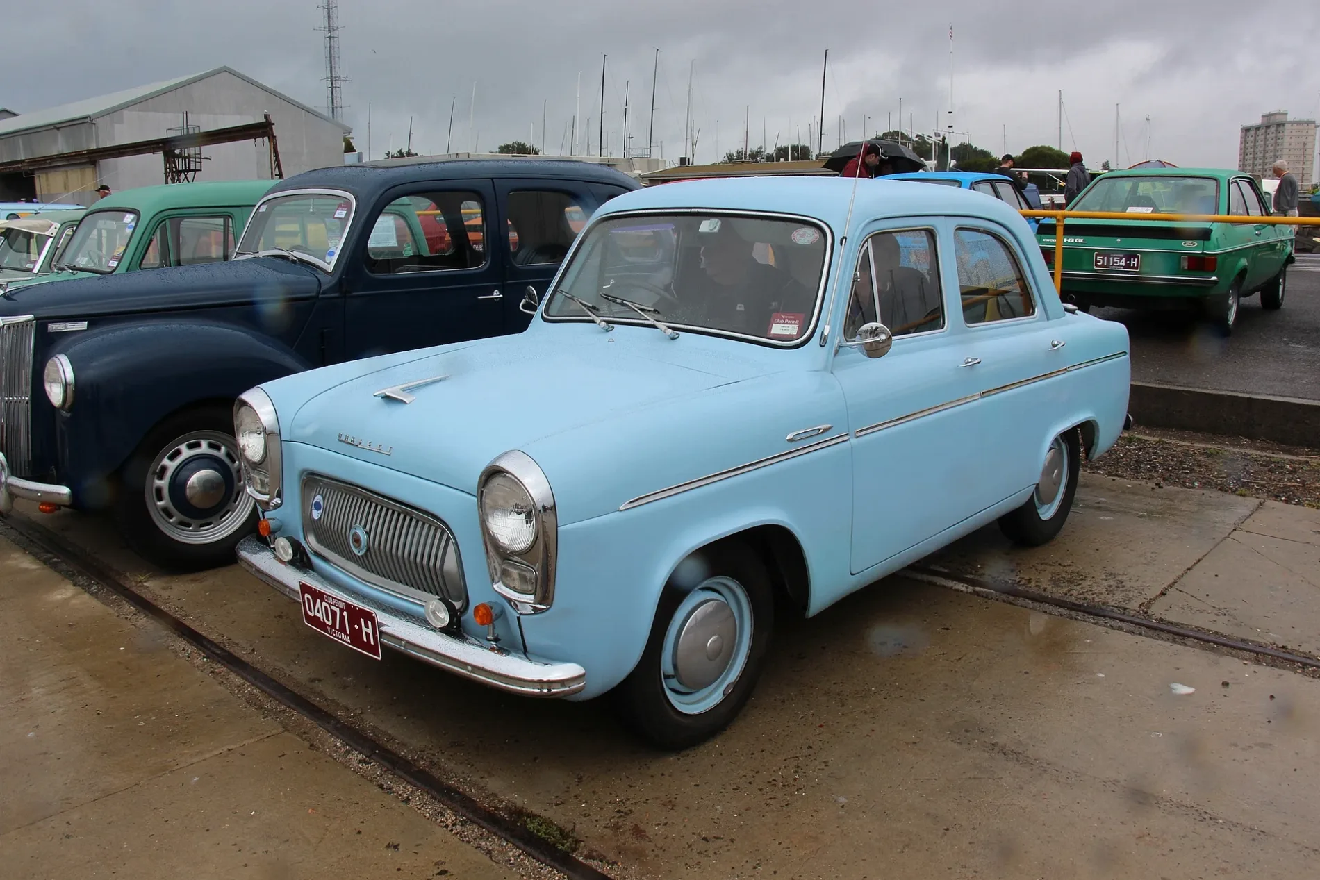
Photos from Williamstown
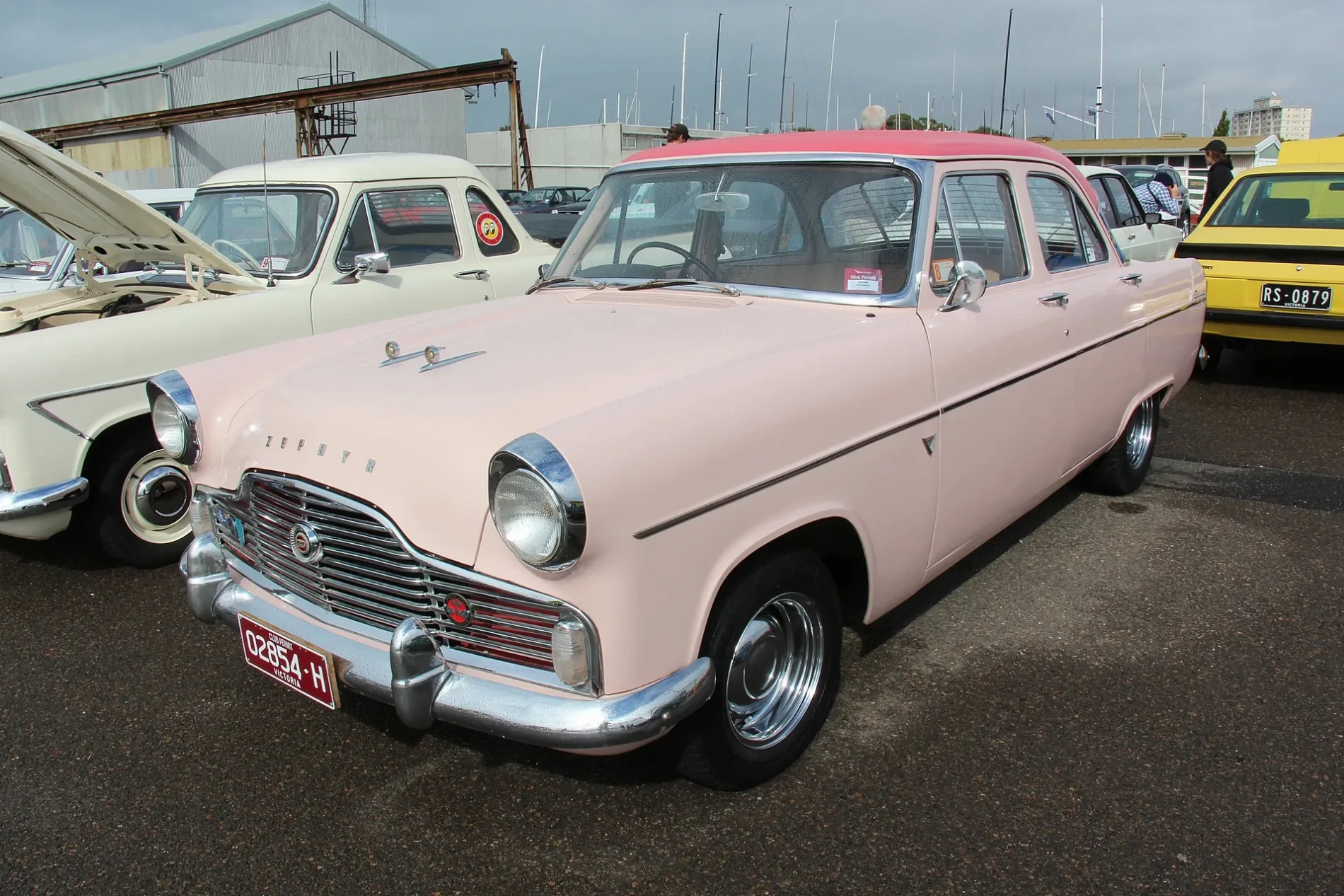
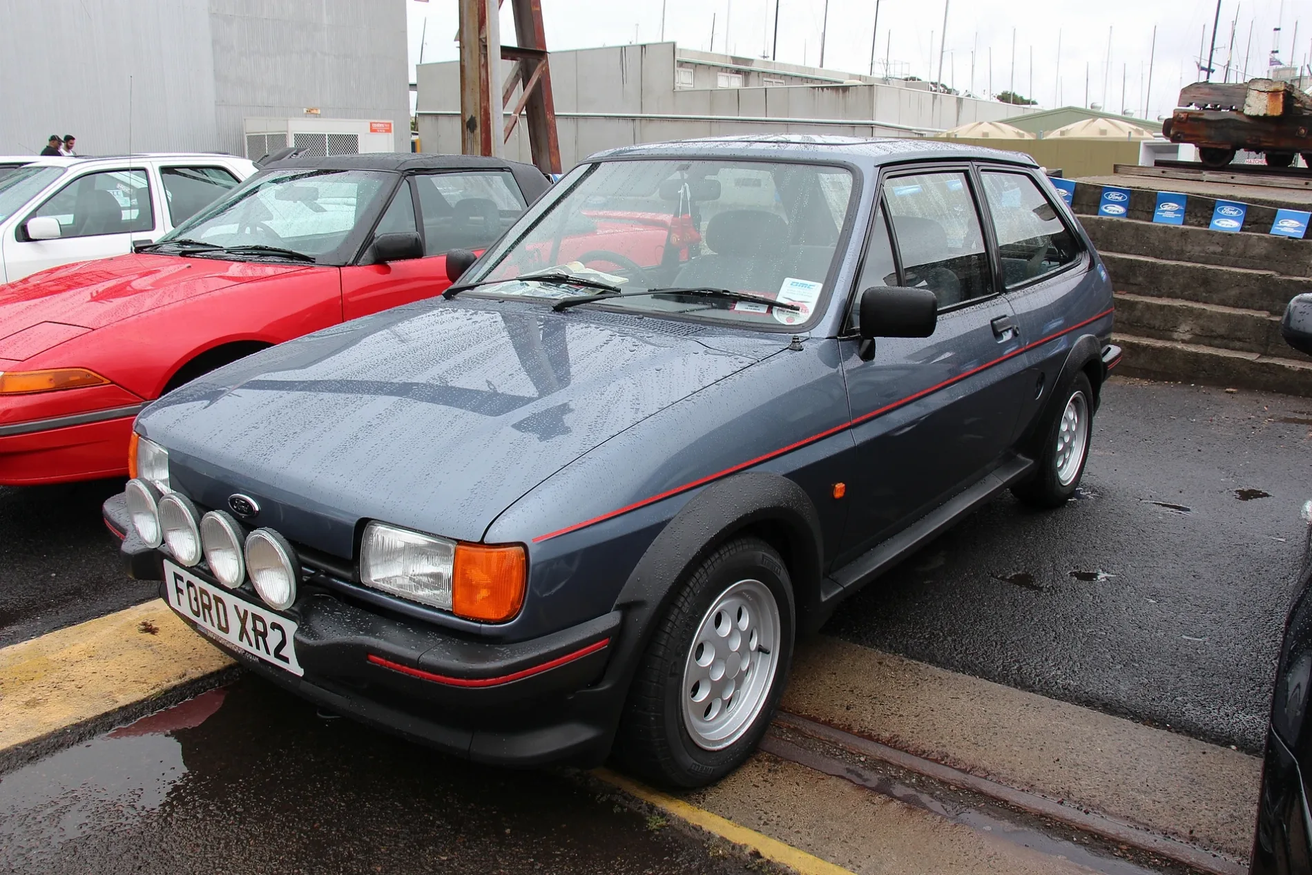
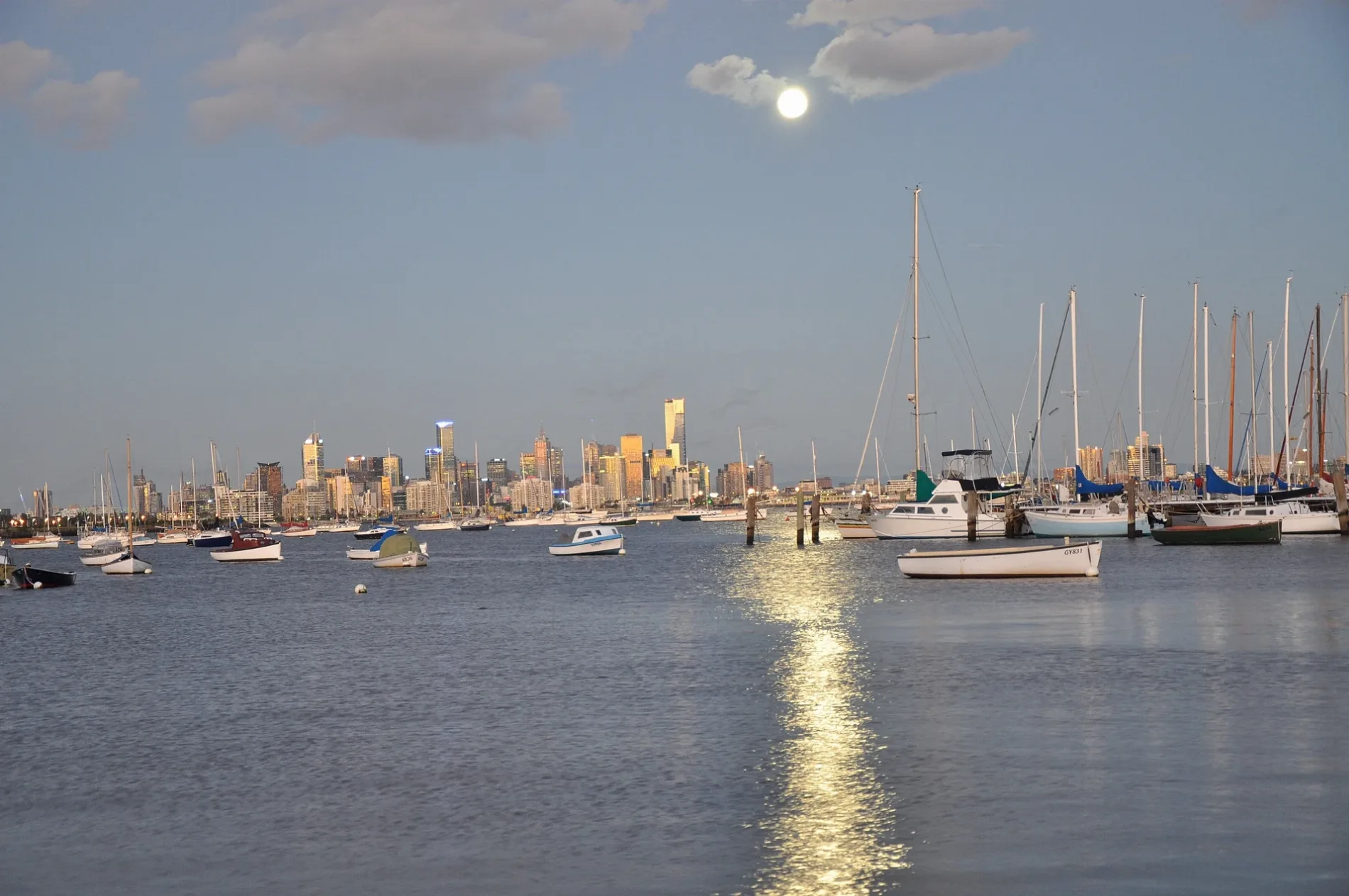
Roads in Williamstown
Roads
Ferguson Street
Williamstown Town Hall, Telstra Public Phone, Richard St/Ferguson St, Metro Petroleum, Electra St/Ferguson St, Poppi Williams, Dog Town, Maclean St/Ferguson St, Ferguson Street Pier/Ferguson St, The Rose Hotel, Williamstown Bakehouse, Avery & Arlo, Tsg, Crowded House, Hobson's Bay Hotel, Verdon St/Ferguson St, Melbourne Rd/Ferguson St, North Williamstown Station/Ferguson St, Westpac, Coxs Gdn/Ferguson St, Facial and Oral Surgery Clinic, Hanoi Pho, Punt Hill Apartment Hotel
Douglas ParadeJohn St/Douglas Pde, Williamstown SC/Douglas Pde, Coles, ANZ, Commonwealth Bank, NAB, Priceline Pharmacy, Bendigo Bank, Bakers Delight, Parade Deli
Kororoit Creek RoadMerrett Dr/Kororoit Creek Rd, Adeline St/Kororoit Creek Rd, Bayside College/Kororoit Creek Rd, BWS, Maddox Road/Kororoit Creek Road, Southey St/Kororoit Creek Rd, Techno Park Dr/Kororoit Creek Rd, Ganton Ct/Kororoit Creek Rd, Nelson Bros Funeral Services, The Range Children’s Centre, Hobsons Bay Caravan Park/Kororoit Creek Rd
Osborne StreetFearon Reserve/Osborne St, Williamstown Botanic Gardens/Osborne St, Forster St/Osborne St, Garden St/Osborne St, Thompson St/Osborne St, Cole St/Osborne St
Hobsons Bay Coastal TrailPublic Toilets, Williamstown SLSC/Victoria St, Sebastian, Seaworks Maritime Precinct, Cole St/Nelson Pl, Wilkinson Memorial Drinking Fountain, Pier Farm
Victoria StreetCollins St/Victoria St, Laverton St/Victoria St, Knight St/Victoria St, Gellibrand St/Victoria St, Osborne St/Victoria St
Bates DrivePizza D'Asporto, Feeling Thai, Marko's Greek Kitchen Bar, Coffeeism, Get the News Williamstown, Golden Catch Fish & Chips, Hot Golden Bakery
Melbourne RoadWilliamstown North PS/Melbourne Rd, Ferguson St/Melbourne Rd, Albert St/Melbourne Rd, Courtis St/Melbourne Rd, Jackson Reserve/Melbourne Rd, Hot Wings
Railway TerraceWilliamstown Station, platform 1, Williamstown
Ann StreetNelson Pl/Ann St, Williamstown Station/Ann St, Old Williamstown Morgue
Syme StreetHobsons Bay Visitor Information Centre, Off the Pier Fish & Chippery, Melbourne Seaplanes Terminal, Pelican's Landing, Aligned Corporate Residences Williamstown
Railway CrescentWilliamstown Beach 1, Williamstown Beach 2, Authentic Skin and Laser
Cole StreetRequiem Tattoo Gallery, Burger Culture, Green Thumb Market, La Bodega Barbershop
Hanmer StreetThompson St/Hanmer St, Williamstown rail replacement stop
Aitken StreetMym fit, Steam Packet Hotel
Stevedore StreetWilliamstown Post Office, Victoria Inn
Ryans LanePodium Bike Hub, Cocoa Latte
Cecil StreetThe Stags Head Hotel, Regional Farmers Markets
Morris LaneJan's
Alfred PlaceYumcha House
Wellington ParadeM L B Studio
Rifle Range DriveWoolworths
Pasco StreetWilliamstown Uniting Church
Albert StreetPrince Albert Hotel
Parker StreetAce Açaí
EsplanadeWilliamstown SLSC/Victoria St
Racecourse RoadPick Up Stitches
Ponting StreetBird & Exotic Animal Clinic
Railway PlaceWilliamstown Beach rail replacement stop
Garden StreetWilliamstown Italian Social Club
Techno Park DriveJim's Self Storage
Lion RoadAlfred Graving Dock
Alma Terrace
Paas Place
Little Nelson Place
Enterprise Court
Dickson Court
Radford Street
White Street
Richard Street
Maclean Street
Union Street
Dover Road
Sandpiper Place
Burgoyne Lane
Pentland Street
Seaview Parade
Goss Terrace
Endeavour Lane
Osborne Close
Bay Trail
Foster Street
Stanley Street
Yarra Street
Knight Mews
John Street
Anzac Crescent
Rodger LaneWilliamstown
Mill Lane
Nancy Court
Dalgarno Street
Station Lane
Thompson Street
Dover Lane
Castle Street
Kingshott Close
Discovery Quay
Hosking StreetAbandoned railways
Beaches
Buildings
Libraries
Platforms
Pubs
Railway lines
Restaurants
Public transport map Williamstown Legend
| Railway | |
| Bus | |
| Tram |
Cycling map Williamstown Legend
| Cycle path | |
| Cycle lane on road | |
| Cycling on bus lane | |
| Bicycle street | |
| Cyclists allowed | |
| Cyclists allowed, good surface | |
| No cycling | |
| Cobblestones |
| Long-distance cycle route | (depending on scale) | |
| Long-distance cycle route |
Walking map Williamstown Legend
| Path |
| Long-distance hiking trail | (depending on scale) | |
| Long-distance hiking trail | ||
| No pedestrians |