
Rysa Road in Greenvale
Rysa Road in City of Hume is a residential street and it runs in an east-west direction starting from Sonia Crescent and ends at Brendan Road.
- Road Type
- residential street
- Route
- east-west
Image
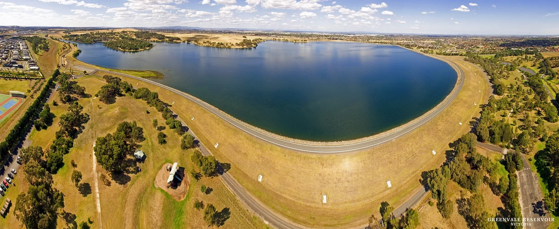
Pharmacy
Cafés
Bus stops
Roads nearby
Ciara Vista Road50 m
Redleaf Way100 m
Yuroke Road150 m
Bassia Street150 m
Brendan Road150 m
Hillview Road200 m
Sonia Crescent200 m
Adlington Avenue250 m
Gallio Street250 m
Greenvale Park Drive250 m
Calla Grove300 m
Pebble Street300 m
Irina Road350 m
Leafview Drive350 m
Sable Street350 m
Aubrey Way350 m
Eastridge Street350 m
Renwood Drive350 m
Prato Street400 m
Annecy Street400 m
Mattina Circuit450 m
CPA Plaza450 m
Fleetwood DriveThornley Ct/Fleetwood Dr, Glasson Ct/Fleetwood Dr
500 m
Somerton Road550 m
Constructions nearby
Aldi350 m
Greenvale Convenience Hub400 m
7-Eleven450 m
KFC450 m
Gardens nearby
Primary Garden400 m
Residential areas nearby
The Lakeside50 m
Ciara Heights50 m
The Brendon250 m
Brendan250 m
The Maples350 m
M.Greenvale500 m
Restaurants nearby
Canteen450 m
School buildings nearby
Learning Support400 m
Year 7400 m
Secondary Arts400 m
Year 7 & 9400 m
Year 9400 m
Upper Primary Building400 m
Senior Building 3450 m
Year 8450 m
Primary Arts450 m
Science & Languages450 m
Kitchen Garden Centre450 m
Visual Arts450 m
Theatres nearby
Chapel & Performing Arts Centre450 m
Public transport map Greenvale Legend
| Railway | |
| Bus | |
| Tram |
Cycling map Greenvale Legend
| Cycle path | |
| Cycle lane on road | |
| Cycling on bus lane | |
| Bicycle street | |
| Cyclists allowed | |
| Cyclists allowed, good surface | |
| No cycling | |
| Cobblestones |
| Long-distance cycle route | (depending on scale) | |
| Long-distance cycle route |
Walking map Greenvale Legend
| Path |
| Long-distance hiking trail | (depending on scale) | |
| Long-distance hiking trail | ||
| No pedestrians |