
Alexandra Street in Pascoe Vale
Alexandra Street in City of Merri-bek is an asphalted, lit residential street and runs in an east-west direction starting from Cumberland Road and ends at Landells Road. Alexandra Street also exists in City of Banyule, City of Darebin, City of Stonnington, City of Ballarat and City of Melton.
- Road Type
- residential street
- Route
- east-west
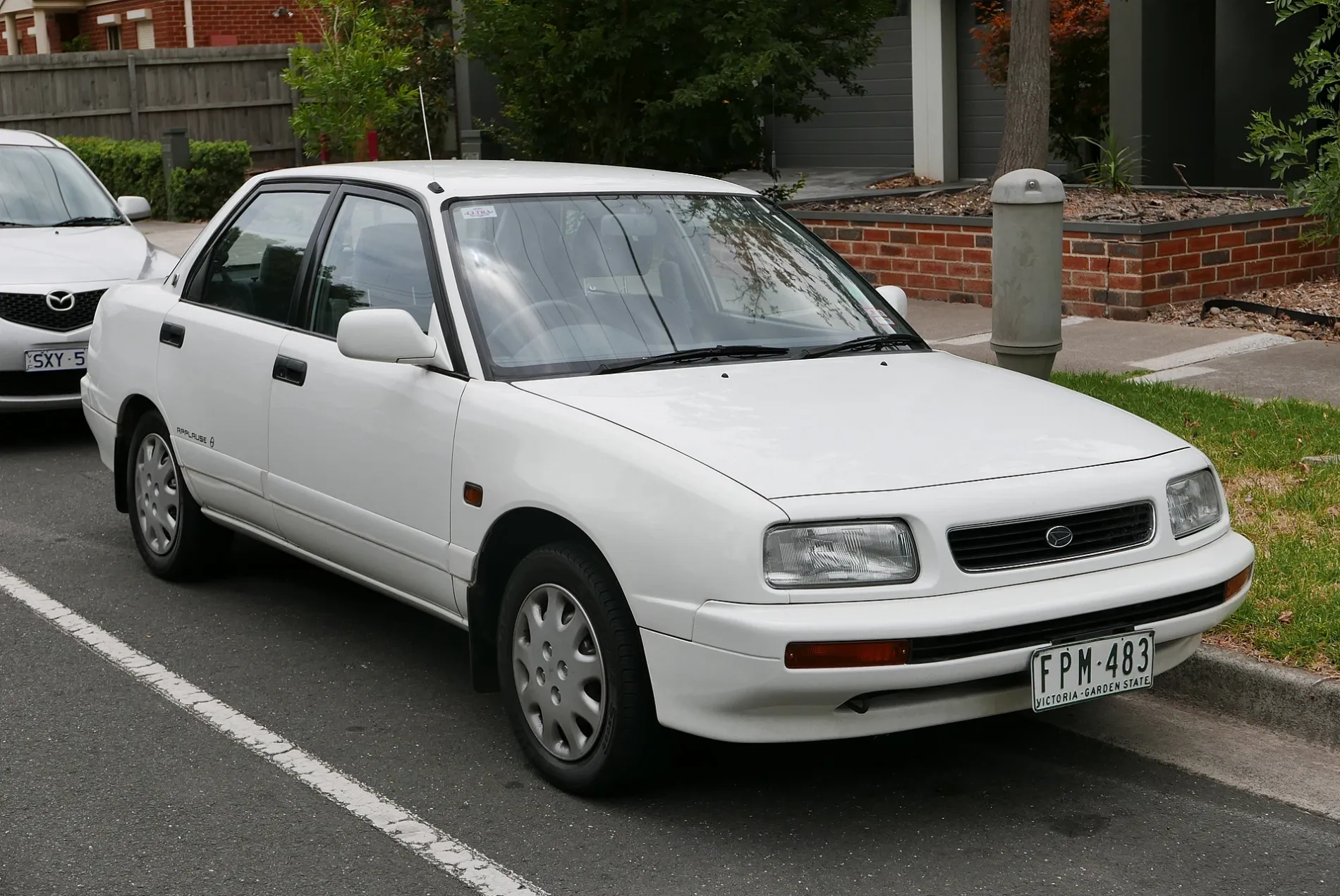
Image
Cafés
Doctor's office
Post offices
Kindergarten
Bus stops
Pharmacy
Supermarkets
Petrol stations
Nursing home
Restaurants
Fast food restaurants
Florist's
Convenience stores
Roads nearby
Wicklow Street100 m
Joffre Road150 m
Shanley Street200 m
Cumberland RoadKent Road/Cumberland Road, Jack & Daisy, Black Market Street Food, Trinos Opportunity Shop, Carson, Guardian Childcare and Education Centre, Daley Street/Cumberland Road, Pleasant Street/Cumberland Road, Warwick Road/Cumberland Road, N'Joy Cafe on Cumberland, Pascoe Vale Hot Bread, Scroogy's Pizza, Pascoe Vale Pharmacy, Uncle Bill's Coin Laundry, Pascoe Vale Mini Mart, SAC Salon, Goodstart Early Learning Centre, Goodstart Early Learning Centre (West), Gaffney Street/Cumberland Road, Olive Grove/Cumberland Road, Pardy Street/Cumberland Road, Pascoe Vale Seafood
200 m
Kitchener Road250 m
Princess Street250 m
Rose Street250 m
Bristol Road300 m
Kent RoadPVH Medical, Ciccio Pizza, The Pantry, Speedway, Kent Road Pharmacy, IGA, Pascoe Vale Veterinary Hospital
300 m
Donnelly Court300 m
Virginia Street350 m
Amber Court350 m
Cornwall RoadKent Road Kindergarten
350 m
Bryan Court350 m
Boundary RoadTarboosh, Pascoe Vale LPO, Joffre Road/Boundary Road
350 m
Cedar Court400 m
Garden DriveWestbreen Florist
400 m
Earls Court400 m
Ash Court400 m
Casuarina CourtCraigcare Pascoe Vale
400 m
South StreetSouth Street Early Learning Centre, Everitt Street/South Street, Tassell Street/South Street, West Street/South Street
400 m
Lake AvenuePizza Boy, 7-Eleven
400 m
Birch Court400 m
West Street450 m
Peachey Court450 m
Plymouth Avenue450 m
Tulip Close500 m
Gardenia Court500 m
Magnolia Drive West500 m
Carnation Court500 m
Donald Street500 m
Jasmine Court500 m
Banksia Court500 m
Tassell Street500 m
Orchid Court500 m
Dickinson Street550 m
Lillian Street550 m
Azalea Court550 m
Bawden Court550 m
Francis Street600 m
Nita Street600 m
Lavender Close600 m
Violet Place600 m
Land Use nearby
Merri-bek City Council Operations Centre600 m
Apartment buildings nearby
Serviced Apartments600 m
Parks nearby
Hallam Reserve500 m
Bartlett Family Reserve500 m
Recreation grounds nearby
West Street Reserve450 m
Social facilities nearby
Pascoe Vale Gardens450 m
Public transport map Pascoe Vale Legend
| Railway | |
| Bus | |
| Tram |
Cycling map Pascoe Vale Legend
| Cycle path | |
| Cycle lane on road | |
| Cycling on bus lane | |
| Bicycle street | |
| Cyclists allowed | |
| Cyclists allowed, good surface | |
| No cycling | |
| Cobblestones |
| Long-distance cycle route | (depending on scale) | |
| Long-distance cycle route |
Walking map Pascoe Vale Legend
| Path |
| Long-distance hiking trail | (depending on scale) | |
| Long-distance hiking trail | ||
| No pedestrians |