
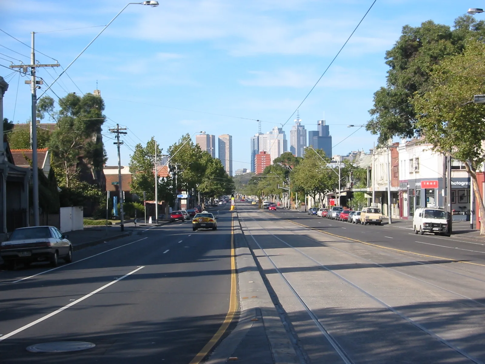
Nicholson Street in Brunswick East
Nicholson Street in City of Merri-bek is a single-lane, asphalted, lit main road (60 km/h). It runs in a north-south direction starting from Albion Street and crosses Glenmorgan Street, Clarence Street, Harrison Street, Stewart Street, Sumner Street, Village Avenue, Fasteners Way, Albert Street, Kirkdale Street, Victoria Street and Blyth Street. In the vicinity, you can find among other things 4 fast food restaurants, 2 cafés, a patisserie and a gallery. The nearest stops are Stop 23: Blyth Street, Stop 22: Albert Street, Stop 20: Miller Street and Stop 19: Brunswick Road. The tram line 96 and the bus line 503 serve this stop. Ⓦ.
- Road Type
- main road
- Speed Limit
- 60
- Lanes
- 1
- Route
- north-south
Fast food restaurants
Patisseries
Hairdressers
Jewellers
Bus stops
- bus lines 503
Cafés
Car repair shops
Convenience stores
Roads nearby
Hickford StreetTrek, Bar Elsie
100 m
Ryan StreetMontessori Beginnings
200 m
Primrose Street200 m
Lee StreetSkink, Schools Meeting Point, Gate 2a, Gate 2b
250 m
Ivory Way250 m
Roberts StreetGate 1, CERES Nursery, Lee Street/Roberts Street
250 m
Stewart Street300 m
Blyth StreetRoberts Street/Blyth Street, Lygon Street/Blyth Street, Nicholson Street/Blyth Street, East Brunswick Medical Centre, Myrtle Street/Blyth Street, Bellvue Street/Blyth Street, Psychic Rainbow, Hairwarship, Modern Life Music School, Tiny Bar, Ryan Street/Blyth Street
300 m
Kingfisher GardensThe Merri Table & Bar
300 m
Fulton Court300 m
Honey LaneCeres Makers and Flea Market, Visitor Centre, Cafe, Organic Grocery
400 m
Weigall Street400 m
Zoe Circuit500 m
Goldsmith GroveKennebec American Vintage, Madera Northcote
500 m
Allotment gardens nearby
CERES Community Gardens400 m
Attraction nearby
CERES Environment Park450 m
Bicycle shops nearby
Loop Cycles350 m
Buildings nearby
Vital Signs250 m
Eco House300 m
Learning Centre300 m
Kartaway300 m
Energy Classroom300 m
Hermes Overseas Baggage350 m
Van Raay Centre350 m
Organic Grocery & Cafe350 m
Propagation Sheds400 m
Education office400 m
Red Train450 m
Pavilion450 m
Namalata Willam450 m
Multicultural Classroom450 m
Cultural Villages450 m
Strawbale Office450 m
Maintainance Workshop450 m
Dapur450 m
Car parts shops nearby
Italian Automotive Spares300 m
Clothing shops nearby
Denim Smith350 m
Community centres nearby
The Cretan Brotherhood of Melbourne and Victoria150 m
Farmlands nearby
Chook Group350 m
Honey Lane Market Gardens350 m
Farmyards nearby
Chooks400 m
Off-licences nearby
The Bottle-O Lomond Hotel50 m
Parks nearby
Phillips Reserve450 m
Pubs nearby
Lomond Hotel50 m
Streams nearby
Merri Creek400 m
Studios nearby
3RRR50 m
Tram stops nearby
Stop 23: Blyth Street50 m
Village greens nearby
Village Green450 m
Other nearby
Cretan Brotherhood Of Melbourne150 m
| Named after | William Nicholson |
|---|---|
| Located in | Victoria |
| Country | Australia |
Public transport map Brunswick East Legend
| Railway | |
| Bus | |
| Tram |
Cycling map Brunswick East Legend
| Cycle path | |
| Cycle lane on road | |
| Cycling on bus lane | |
| Bicycle street | |
| Cyclists allowed | |
| Cyclists allowed, good surface | |
| No cycling | |
| Cobblestones |
| Long-distance cycle route | (depending on scale) | |
| Long-distance cycle route |
Walking map Brunswick East Legend
| Path |
| Long-distance hiking trail | (depending on scale) | |
| Long-distance hiking trail | ||
| No pedestrians |