
Harbour Mews in Warrnambool
Harbour Mews in City of Warrnambool is a service road. It runs in a northeast-southwest direction starting from Jetty Lane and crosses Barbro Terrace. It ends in a cul-de-sac.
- Road Type
- service road
- Route
- northeast-southwest
Image
Hotels
Restaurants
Hostel
Fast food restaurants
Platforms
Bus stops
Stations
Holiday apartment
Viewpoint
Cafés
Motel
Fishing shops
Artwork
Roads nearby
Jetty LaneBayside Lodge Holiday Units
50 m
Barbro TerraceDeep Blue Hotel and Hot Springs
100 m
Worm Bay RoadLady Bay Resort
150 m
Stanley StreetWarrnambool Beach Backpackers, Edina St/Stanley St
200 m
Fisher StreetBait shop
250 m
Port Fairy to Warrnambool Rail TrailPavilion Cafe & Bar
250 m
Price Street300 m
Edina Street300 m
Ferrier Drive350 m
Stephens Street450 m
Pickering Point RoadPickering Point Lookout, Thunder Point Lookout
450 m
Lightermen Lane500 m
Macdonald StreetWarrnambool Villa, Elliot St/MacDonald St
550 m
Denman Drive650 m
Milloo Place650 m
Schnapper Lane700 m
Thunder Point RoadThunder Point
700 m
Hawick Place700 m
Jedburgh Way700 m
Coramba Court750 m
Roxburgh Court750 m
Viaduct Road750 m
Cavers Mews750 m
Elliott Street800 m
Pertobe Lane800 m
Harris StreetAnderson St/Harris St
800 m
Nature nearby
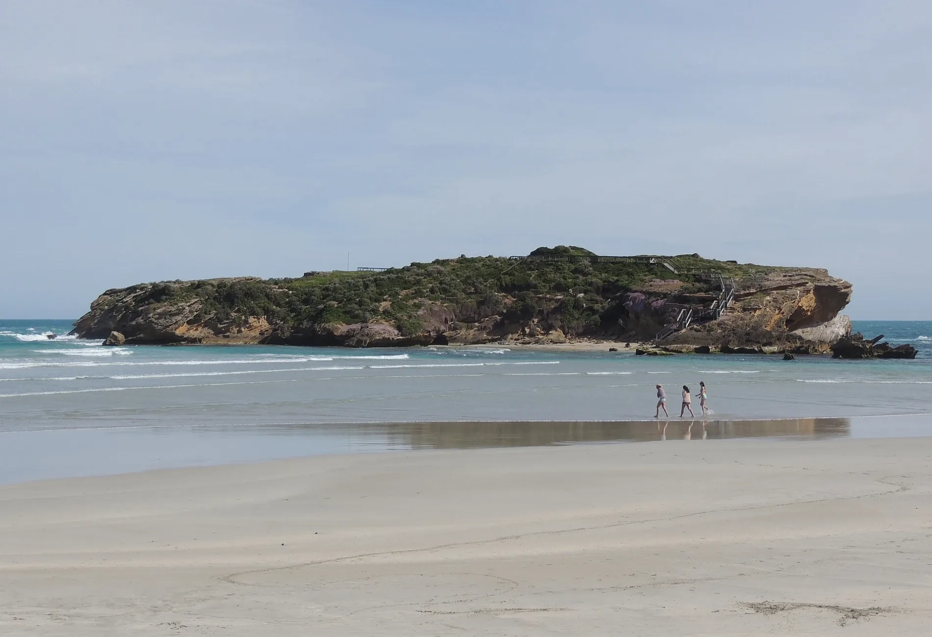
Middle Island850 m
Buildings nearby
Port Warrnambool Village50 m
Hightide Beachhouse100 m
Holiday Home Merri Retreat300 m
Coast Guard600 m
Lake Petrobe Boat Rentals800 m
Cafés nearby
The Beach Kiosk Cafe850 m
Caravan site nearby
Shipwreck Coast Holiday Park300 m
Big 4 Discovery Park350 m
Commercial buildings nearby
Former: Warrnambool Aquarium850 m
Disused railways nearby
Warrnambool Port line750 m
Houses nearby
Penguin House200 m
Kindergartens nearby
South Warrnambool Kindergarten250 m
Military areas nearby
Tel el Eisa Barracks100 m
Miniature golfs nearby
Mini Golf (seasonal)200 m
Mini Golf Lake Pertobe400 m
Parks nearby
Warrnambool Coastal Reserve500 m
Playgrounds nearby
Adventure Playground750 m
Sports pitches nearby
Warrnambool Skate Park150 m
City of Warrnambool Lawn Tennis Club350 m
Warrnambool BMX Track550 m
Water parks nearby
Deep Blue Hot Springs Sanctuary150 m
Other nearby
Merri Island700 m
Public transport map Warrnambool Legend
| Railway | |
| Bus | |
| Tram |
Cycling map Warrnambool Legend
| Cycle path | |
| Cycle lane on road | |
| Cycling on bus lane | |
| Bicycle street | |
| Cyclists allowed | |
| Cyclists allowed, good surface | |
| No cycling | |
| Cobblestones |
| Long-distance cycle route | (depending on scale) | |
| Long-distance cycle route |
Walking map Warrnambool Legend
| Path |
| Long-distance hiking trail | (depending on scale) | |
| Long-distance hiking trail | ||
| No pedestrians |