
Albert Street in Woodford
Albert Street in City of Warrnambool is a residential street and runs in an east-west direction starting from Lyall Street and ends at Bushfield - Tower Hill Road.
- Road Type
- residential street
- Route
- east-west
Image
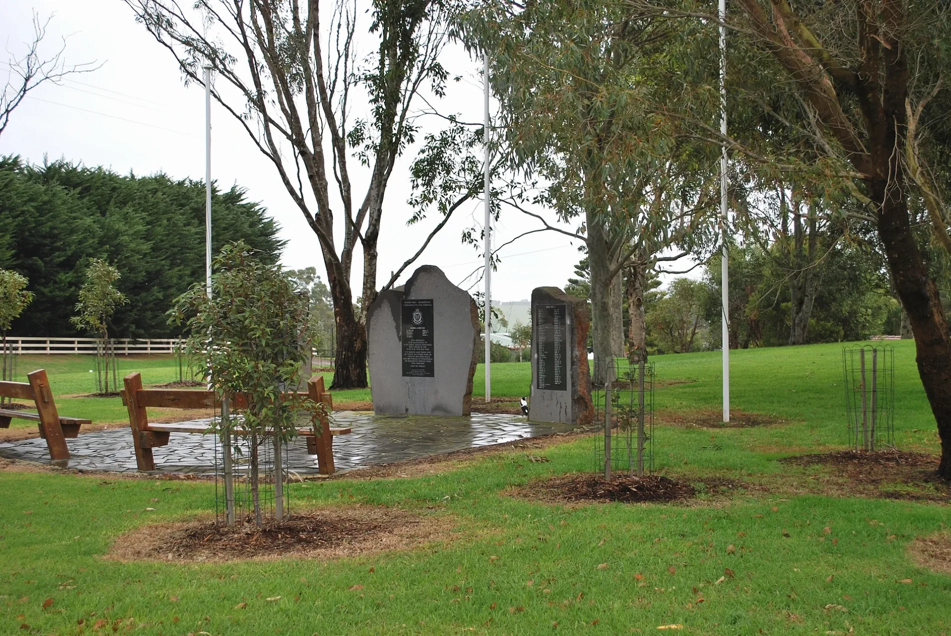
Roads nearby
Miles Road50 m
Lyall Street350 m
Watsons Lane400 m
River Road450 m
Brodies Lane500 m
Princess Street550 m
Merri Street600 m
Bushfield - Tower Hill Road650 m
Clara Court650 m
Meliora Court650 m
Victoria Street700 m
Joanna Court700 m
Merri View Road800 m
Blighs Road800 m
Bellmans Road900 m
Kiaman Close950 m
Lila Court1000 m
Rodger Place1,0 km
Cilmery Crescent1,1 km
Mill Street1,1 km
Reddie Road1,2 km
Valleyview Road1,2 km
The Hill Court1,3 km
Quinns Road1,4 km
Barries Road1,6 km
Tinker Road1,7 km
McKenzies Road2,0 km
Bridge RoadWoodford
2,2 km
McNamara Road2,4 km
Triggs Road2,9 km
Fala Park Road2,9 km
Mailors Flat - Koroit Road2,9 km
Warrnambool-Caramut RoadMailors Flat
3,0 km
McCoshs Road3,0 km
Shady Lane3,1 km
Roaches Road3,3 km
Webb street3,4 km
Plummers Hill Road3,5 km
Sommerville Boulevard3,5 km
Warburton Way3,5 km
Toleman Street3,6 km
Penfold Drive3,6 km
Benson Drive3,6 km
Parks nearby
Jellie Reserve250 m
Mechanics Institute Park350 m
Jubilee Park / Wurrumbit Birrng Yaar850 m
Bushfield Recreation Reserve1,7 km
Residential areas nearby
Riverside At Wollaston3,6 km
Rivers nearby
Merri River500 m
Public transport map Woodford Legend
| Railway | |
| Bus | |
| Tram |
Cycling map Woodford Legend
| Cycle path | |
| Cycle lane on road | |
| Cycling on bus lane | |
| Bicycle street | |
| Cyclists allowed | |
| Cyclists allowed, good surface | |
| No cycling | |
| Cobblestones |
| Long-distance cycle route | (depending on scale) | |
| Long-distance cycle route |
Walking map Woodford Legend
| Path |
| Long-distance hiking trail | (depending on scale) | |
| Long-distance hiking trail | ||
| No pedestrians |