
Jackson Street in Richmond
Jackson Street in City of Yarra is a residential street. There is no cycle path. It runs in an east-west direction and ends at Tudor Street, while the other end is a cul-de-sac. Jackson Street also exists in City of Darebin, City of Port Phillip, City of Stonnington, City of Whitehorse and City of Hobsons Bay.
- Road Type
- residential street
- Route
- east-west
Image
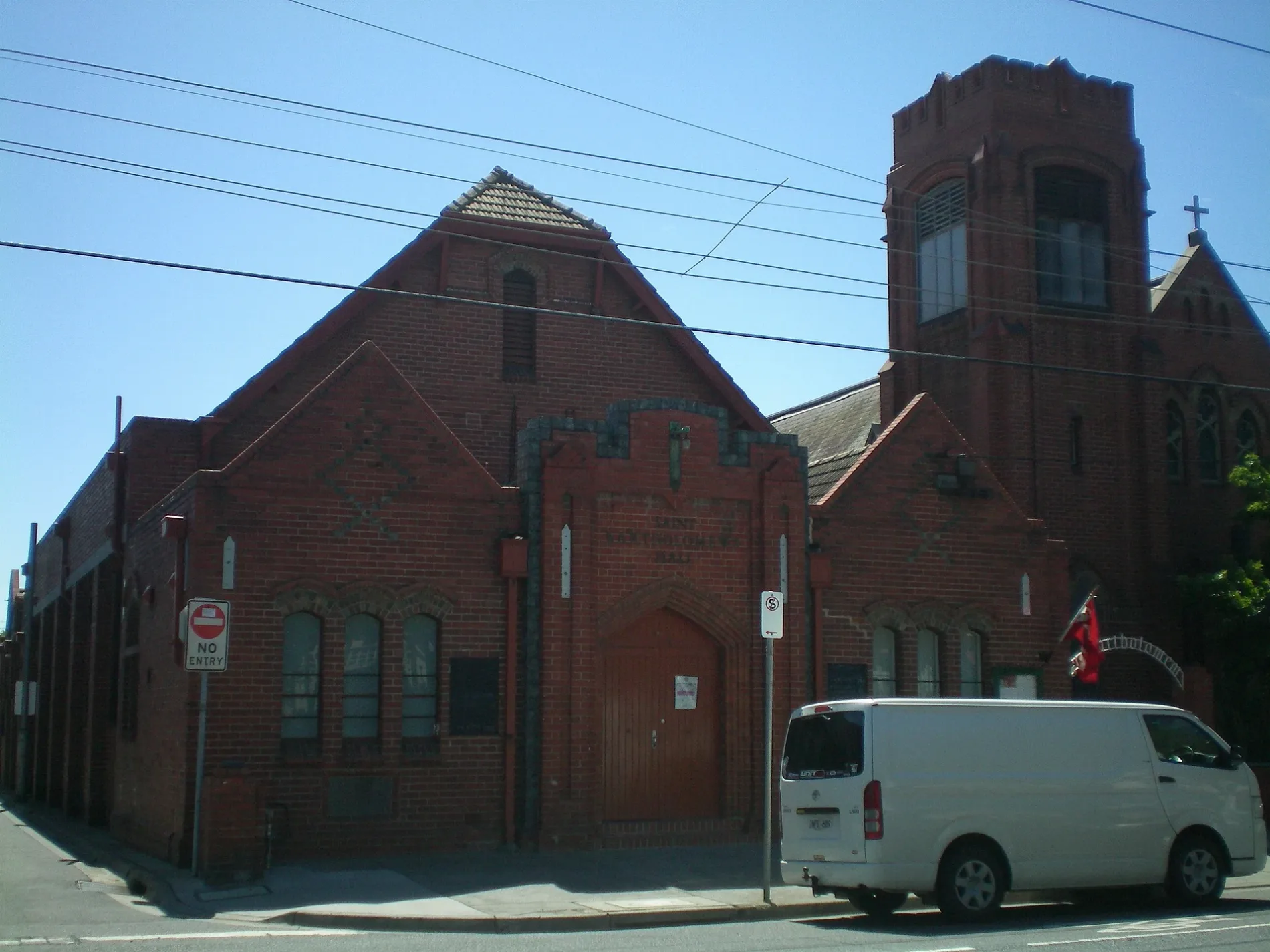
Bicycle shops
Supermarkets
Bank
Pet shops
Tram stops
Outdoor shops
Pubs
Cafés
Houseware shops
Variety stores
Department stores
Roads nearby
Vesper Street100 m
Lightfoot Street100 m
Westbank TerraceStop 22: Westbank Terrace
100 m
Campbell Street100 m
Park Street150 m
Tudor Street150 m
Bendigo StreetBendigo Street Milk Bar
150 m
Wertheim Street150 m
Longfield Street200 m
Kennedy Avenue200 m
Glasshouse Street200 m
Bellevue Street200 m
Jago Street200 m
Yarra Boulevard200 m
Barnet WaySilvs on Kennedy
200 m
Stawell Street200 m
Albert Place250 m
Park Avenue250 m
O'Connell Street250 m
Type Street300 m
Jones Place350 m
Main Yarra Trail Capital City Trail400 m
Palmer Street400 m
Bridge RoadLittle Bridge Cafe, Richmond Hill Cellars, Rasta Lion Wear, 14 Bridge, The Piano Thai Restaurant & Bar, Richmond Jolimont Convenience Store, Stop 14: Punt Road, Trophywife, Mother and Daughter, Opus 15, Stop 15: Epworth Hospital, Slade Pharmacy, Fifty Acres, Pho Rolls 62, Vlado's, Oster Eatery, Mr John Cunningham, IGA, TFM The Freedom Machine, Supply and Demand, Stop 22: Yarra Boulevard, Stop 22: Westbank Terrace, Anthea Crawford Clearance Store, The Motley Hotel Richmond, Tapestry Collection by Hilton, JR Mobile, The Doll House, Soap Bar Launderette, Bathroomware House Richmond Pty Ltd, Stop 21: Burnley Street, Kathmandu, ANZ, Stop 17: Bosisto Street, Stop 17: Waltham Street, Red Running Tiger (Thylacine), Krua Thai - Richmond, Hound, Riché, Georgie Boy Expresso, Phoenix & Co Barbering, Mr William Edwards, Richmond Hill Cafe & Larder, Cotton Mouth, Midside Vietnamese Bakery, Nina Thai Massage, Stop 18: Church Street, Stop 19: Richmond Town Hall, Pho N Roll, The Fish Market, I Love Dumplings, Commonwealth Bank, Body Active Therapies, Frederick's Local Grocery, P. Moshidis Bridge Road Pharmacy, Cobb Lane, Priceline Pharmacy, Siricco, House of Handmade, Recovery Lab, Reverence Tattoo, Cane-line, Leviathan tattoo gallery, The Hungarian, The Music Man, Gurkahs Cafe, Anchovy, Smokey Chooks, Lombard, Pizza, Laikon Deli, Stop 20: Coppin Street, Sixt, Mascot Cycles, Fritz Gelato, Ca Com Bánh Mì Bar, RSEA Safety, Twelve Board Store, Milestone Dental, Touchwood, Adairs
400 m
Whites Place450 m
Murphy StreetRexel, Aussie Chef Clothing, Automotive Panel Service, Stylemaster panels, Harvey Norman, Mountain Culture Brewery - Melbourne, Kennards
500 m
DIY stores nearby
Mitre 10400 m
Apartment buildings nearby
Glassworks250 m
Boathouses nearby
Xavier and Genezzano Boat House450 m
Buildings nearby
Makmur Enterprises Pty Ltd500 m
Former NHP building550 m
Car repair shops nearby
RM Autohaus Express400 m
Fast food restaurants nearby
McDonald's400 m
Fitness centres nearby
Hurtlocker500 m
Dukes Gym500 m
Florist's nearby
Bridge Road Florist400 m
Gardens nearby
Burnley Backyard100 m
Hardware shops nearby
Kennards Concrete Care500 m
Hotels nearby
Amora Hotel Riverwalk350 m
Off-licences nearby
Dan Murphy's400 m
Office buildings nearby
Odyssey House350 m
Parks nearby
O'Connell Reserve400 m
Petrol stations nearby
Shell350 m
Pubs nearby
Burnley Brewing350 m
Residential areas nearby
Studio Nine150 m
Rivers nearby
Yarra River550 m
Self-storages nearby
National Storage500 m
Specialist shops nearby
Tradelink600 m
Stationery shops nearby
Officeworks250 m
Public transport map Richmond Legend
| Railway | |
| Bus | |
| Tram |
Cycling map Richmond Legend
| Cycle path | |
| Cycle lane on road | |
| Cycling on bus lane | |
| Bicycle street | |
| Cyclists allowed | |
| Cyclists allowed, good surface | |
| No cycling | |
| Cobblestones |
| Long-distance cycle route | (depending on scale) | |
| Long-distance cycle route |
Walking map Richmond Legend
| Path |
| Long-distance hiking trail | (depending on scale) | |
| Long-distance hiking trail | ||
| No pedestrians |