
Boland Street in Richmond
Boland Street in City of Yarra is an asphalted residential street. The road has a cycle path (shared lane markings). It runs in an east-west direction starting from Burnley Street and ends at Type Street. This road is part of the bicycle route "Richmond East-West Route".
- Road Type
- residential street
- Route
- east-west
Image
Bicycle shops
Pet shops
Houseware shops
Furniture shops
Sports shops
Cafés
Outdoor shops
Shoe shops
Dentist
Clothing shops
Tram stops
Supermarkets
Variety stores
Bank
Fast food restaurants
Pubs
Roads nearby
Dove Place100 m
Stillman Street150 m
Strafford Street150 m
Canterbury Street200 m
Type Street250 m
Fraser StreetBanh Mi Hoi An
250 m
Corsair Street250 m
Dickens Street250 m
Edinburgh Street250 m
Boyd Street250 m
Neptune Street300 m
Hunter Street350 m
Brady Street400 m
Bridge RoadLittle Bridge Cafe, Richmond Hill Cellars, Rasta Lion Wear, 14 Bridge, The Piano Thai Restaurant & Bar, Richmond Jolimont Convenience Store, Stop 14: Punt Road, Trophywife, Mother and Daughter, Opus 15, Stop 15: Epworth Hospital, Slade Pharmacy, Fifty Acres, Pho Rolls 62, Vlado's, Oster Eatery, Mr John Cunningham, IGA, TFM The Freedom Machine, Supply and Demand, Stop 22: Yarra Boulevard, Stop 22: Westbank Terrace, Anthea Crawford Clearance Store, The Motley Hotel Richmond, Tapestry Collection by Hilton, JR Mobile, The Doll House, Soap Bar Launderette, Bathroomware House Richmond Pty Ltd, Stop 21: Burnley Street, Kathmandu, ANZ, Stop 17: Bosisto Street, Stop 17: Waltham Street, Red Running Tiger (Thylacine), Krua Thai - Richmond, Hound, Riché, Georgie Boy Expresso, Phoenix & Co Barbering, Mr William Edwards, Richmond Hill Cafe & Larder, Cotton Mouth, Midside Vietnamese Bakery, Nina Thai Massage, Stop 18: Church Street, Stop 19: Richmond Town Hall, Pho N Roll, The Fish Market, I Love Dumplings, Commonwealth Bank, Body Active Therapies, Frederick's Local Grocery, P. Moshidis Bridge Road Pharmacy, Cobb Lane, Priceline Pharmacy, Siricco, House of Handmade, Recovery Lab, Reverence Tattoo, Cane-line, Leviathan tattoo gallery, The Hungarian, The Music Man, Gurkahs Cafe, Anchovy, Smokey Chooks, Lombard, Pizza, Laikon Deli, Stop 20: Coppin Street, Sixt, Mascot Cycles, Fritz Gelato, Ca Com Bánh Mì Bar, RSEA Safety, Twelve Board Store, Milestone Dental, Touchwood, Adairs
400 m
Lord Place400 m
Reeves Crescent450 m
Birch Square500 m
Gardner Street500 m
Shops nearby
La Tien350 m
Apartment buildings nearby
Isola Apartments400 m
Bakeries nearby
Richmond Homemade pies & cakes350 m
Beauty salons nearby
Mister Beauty300 m
Buildings nearby
Saint Bartholomew's Hall200 m
AAPT Data Centre250 m
Beer 360350 m
Nexus Apartments450 m
Harvey Norman Richmond450 m
Cafés nearby
Stillman Cafe150 m
Lumberjack350 m
Number 1 crispy Pork350 m
Reunion & Co350 m
Argies400 m
Three One Two One450 m
Gypsey & Musquito550 m
Car dealerships nearby
Kia Motors250 m
Clinics nearby
Burnley St Medical Clinic200 m
Computer shops nearby
Digital Arts350 m
Convenience stores nearby
Milkbar150 m
ASN Australian Sports Nutrition350 m
Bridge Road Convenience Store350 m
Fitness centres nearby
Zap Fitness400 m
Furniture shops nearby
Nature's Secret350 m
Gift shops nearby
Industrie300 m
Houseware shops nearby
Melbourne Carpets400 m
Places of worship nearby
St Georges Uniting Church100 m
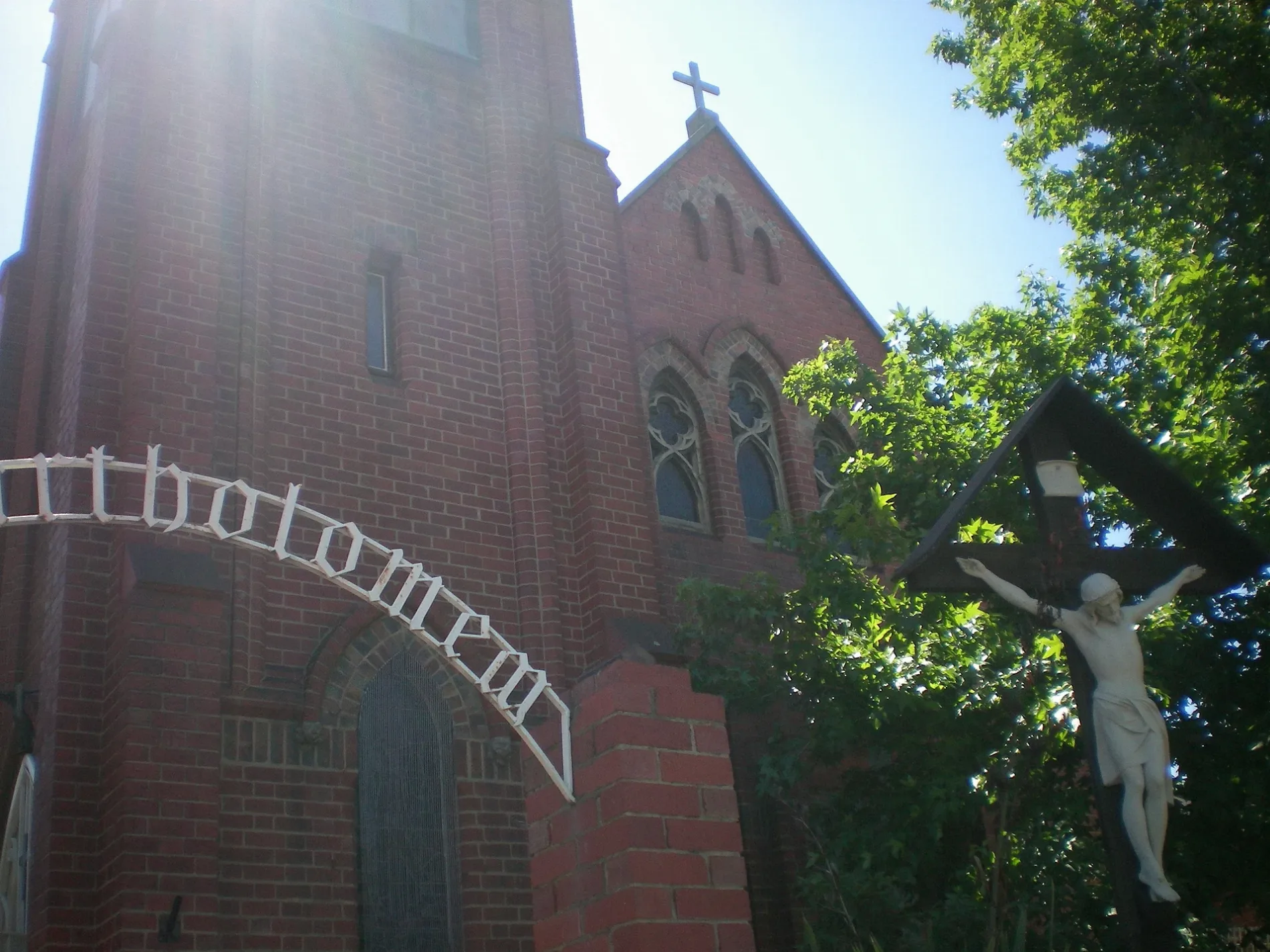
St Bartholomew's Anglican Church200 m
Pubs nearby
Royal Oak Hotel400 m
Restaurants nearby
Bouzy Rouge350 m
Ladyboy500 m
Public transport map Richmond Legend
| Railway | |
| Bus | |
| Tram |
Cycling map Richmond Legend
| Cycle path | |
| Cycle lane on road | |
| Cycling on bus lane | |
| Bicycle street | |
| Cyclists allowed | |
| Cyclists allowed, good surface | |
| No cycling | |
| Cobblestones |
| Long-distance cycle route | (depending on scale) | |
| Long-distance cycle route |
Walking map Richmond Legend
| Path |
| Long-distance hiking trail | (depending on scale) | |
| Long-distance hiking trail | ||
| No pedestrians |