
Lightfoot Street in Richmond
Lightfoot Street in City of Yarra is a residential street. There is no cycle path. It runs in an east-west direction and ends at Tudor Street, while the other end is a cul-de-sac. Lightfoot Street also exists in City of Whitehorse, City of Greater Bendigo and City of Greater Shepparton.
- Road Type
- residential street
- Route
- east-west
Image
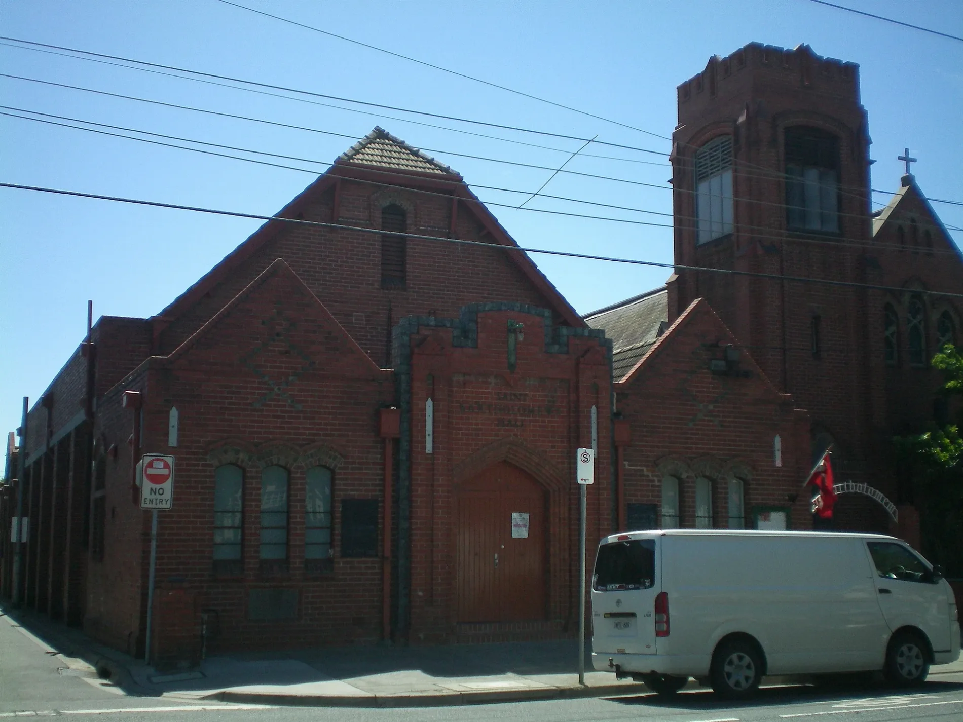
Car repair shops
Variety stores
Department stores
Electrical shops
Cafés
Bicycle shops
Bank
Pubs
Clothing shops
Tram stops
Houseware shops
Supermarkets
Outdoor shops
Pet shops
Roads nearby
Tudor Street50 m
Longfield Street100 m
Jackson Street100 m
Campbell Street150 m
Westbank TerraceStop 22: Westbank Terrace
150 m
Vesper Street150 m
O'Connell Street200 m
Stawell Street200 m
Park Avenue200 m
Park Street200 m
Bendigo StreetBendigo Street Milk Bar
200 m
Glasshouse Street250 m
Yarra Boulevard250 m
Wertheim Street250 m
Kennedy Avenue250 m
Bellevue Street250 m
Type Street300 m
Jago Street300 m
Jones Place300 m
Barnet WaySilvs on Kennedy
300 m
Albert Place300 m
Main Yarra Trail Capital City Trail350 m
Palmer Street350 m
Bridge RoadLittle Bridge Cafe, Richmond Hill Cellars, Rasta Lion Wear, 14 Bridge, The Piano Thai Restaurant & Bar, Richmond Jolimont Convenience Store, Stop 14: Punt Road, Trophywife, Mother and Daughter, Opus 15, Stop 15: Epworth Hospital, Slade Pharmacy, Fifty Acres, Pho Rolls 62, Vlado's, Oster Eatery, Mr John Cunningham, IGA, TFM The Freedom Machine, Supply and Demand, Stop 22: Yarra Boulevard, Stop 22: Westbank Terrace, Anthea Crawford Clearance Store, The Motley Hotel Richmond, Tapestry Collection by Hilton, JR Mobile, The Doll House, Soap Bar Launderette, Bathroomware House Richmond Pty Ltd, Stop 21: Burnley Street, Kathmandu, ANZ, Stop 17: Bosisto Street, Stop 17: Waltham Street, Red Running Tiger (Thylacine), Krua Thai - Richmond, Hound, Riché, Georgie Boy Expresso, Phoenix & Co Barbering, Mr William Edwards, Richmond Hill Cafe & Larder, Cotton Mouth, Midside Vietnamese Bakery, Nina Thai Massage, Stop 18: Church Street, Stop 19: Richmond Town Hall, Pho N Roll, The Fish Market, I Love Dumplings, Commonwealth Bank, Body Active Therapies, Frederick's Local Grocery, P. Moshidis Bridge Road Pharmacy, Cobb Lane, Priceline Pharmacy, Siricco, House of Handmade, Recovery Lab, Reverence Tattoo, Cane-line, Leviathan tattoo gallery, The Hungarian, The Music Man, Gurkahs Cafe, Anchovy, Smokey Chooks, Lombard, Pizza, Laikon Deli, Stop 20: Coppin Street, Sixt, Mascot Cycles, Fritz Gelato, Ca Com Bánh Mì Bar, RSEA Safety, Twelve Board Store, Milestone Dental, Touchwood, Adairs
350 m
Whites Place400 m
Murphy StreetRexel, Aussie Chef Clothing, Automotive Panel Service, Stylemaster panels, Harvey Norman, Mountain Culture Brewery - Melbourne, Kennards
450 m
DIY stores nearby
Mitre 10350 m
Apartment buildings nearby
Glassworks250 m
Boathouses nearby
Xavier and Genezzano Boat House400 m
Buildings nearby
Makmur Enterprises Pty Ltd450 m
Former NHP building500 m
Car repair shops nearby
RM Autohaus Express300 m
Fast food restaurants nearby
McDonald's300 m
Fitness centres nearby
Hurtlocker450 m
Dukes Gym450 m
Florist's nearby
Bridge Road Florist350 m
Gardens nearby
Burnley Backyard150 m
Hardware shops nearby
Kennards Concrete Care450 m
Hotels nearby
Amora Hotel Riverwalk300 m
Off-licences nearby
Dan Murphy's350 m
Office buildings nearby
Odyssey House250 m
Parks nearby
O'Connell Reserve350 m
Petrol stations nearby
Shell250 m
Pubs nearby
Burnley Brewing250 m
Residential areas nearby
Studio Nine250 m
Rivers nearby
Yarra River450 m
Self-storages nearby
National Storage400 m
Specialist shops nearby
Tradelink500 m
Stationery shops nearby
Officeworks200 m
Public transport map Richmond Legend
| Railway | |
| Bus | |
| Tram |
Cycling map Richmond Legend
| Cycle path | |
| Cycle lane on road | |
| Cycling on bus lane | |
| Bicycle street | |
| Cyclists allowed | |
| Cyclists allowed, good surface | |
| No cycling | |
| Cobblestones |
| Long-distance cycle route | (depending on scale) | |
| Long-distance cycle route |
Walking map Richmond Legend
| Path |
| Long-distance hiking trail | (depending on scale) | |
| Long-distance hiking trail | ||
| No pedestrians |