
Smyth Street in Allendale
Smyth Street in Shire of Hepburn is a residential street. It runs in an east-west direction starting from Creswick-Newstead Road and crosses Loughlin Street and ends at Batten Street. Smyth Street also exists in City of Frankston.
- Road Type
- residential street
- Route
- east-west
Image
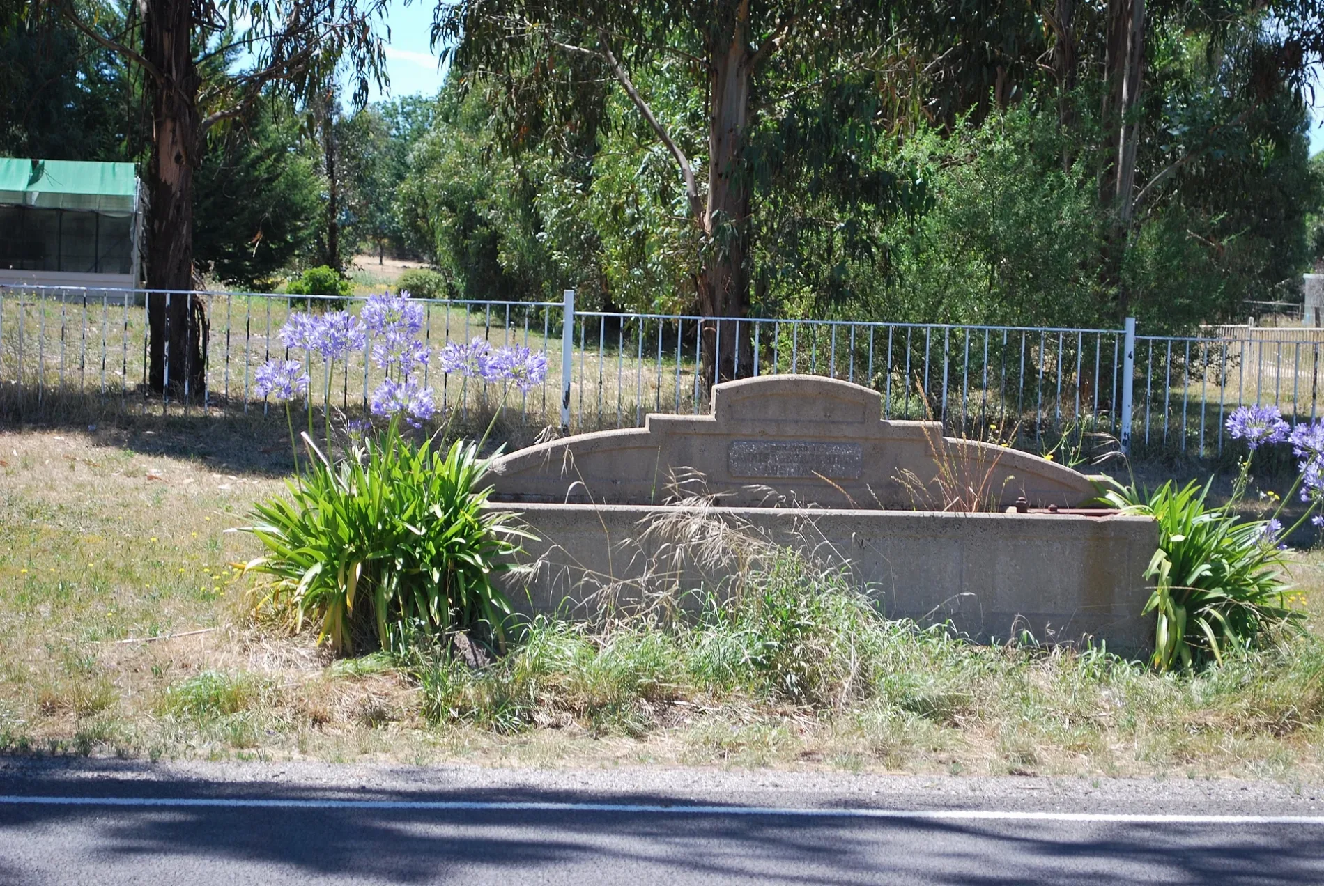
Roads nearby
Leishman Street150 m
Parkin Street250 m
Loughlin Street250 m
Batten Street350 m
Creswick-Newstead Road450 m
Newstead - Creswick Road450 m
Victoria Street450 m
Elizabeth Street600 m
West Street700 m
Garfield Street800 m
Stag Road850 m
Ryan Junction Road950 m
Bailey Street1,1 km
Henders Road1,3 km
Allendale - Kingston Road1,3 km
Broomfield Store Road1,4 km
Grays Road1,4 km
Stone Lane1,5 km
Callistemon Lane1,5 km
West Berry Road1,6 km
Graham Road1,7 km
Hutchinson Street1,7 km
Tennis Court Road1,7 km
Daylesford - North Creswick railway1,8 km
Lone Hand Road1,8 km
Brawn Street2,1 km
Allendale Reservoir Road2,1 km
Old Broomfield Road2,1 km
Carter Street2,2 km
Wrigleys Road2,4 km
Pascoes Road2,5 km
Acacia Road2,6 km
Ewen Charlesons Road2,8 km
Alcorns Road2,9 km
McMillan Road2,9 km
Kingston Road3,0 km
Church Parade3,1 km
Buildings nearby
Supagas350 m
Smeaton Mill3,1 km
Fire stations nearby
Allendale Fire Station350 m
Parks nearby
Loughlin Mine Historical Reserve1,6 km
Quarries nearby
De Murska Mine500 m
Ryan Junction Mine1,0 km
Ristori West Mine1,8 km
Colthards Freehold Mine2,0 km
Richardson Western Mine2,1 km
West Loughlin Mine2,9 km
Lord Harry Mine3,2 km
Razed railways nearby
J & R Tyner's Siding3,2 km
 Public transport map Allendale Legend
| Railway | |
| Bus | |
| Tram |
 Cycling map Allendale Legend
| Cycle path | |
| Cycle lane on road | |
| Cycling on bus lane | |
| Bicycle street | |
| Cyclists allowed | |
| Cyclists allowed, good surface | |
| No cycling | |
| Cobblestones |
| Long-distance cycle route | (depending on scale) | |
| Long-distance cycle route |
 Walking map Allendale Legend
| Path |
| Long-distance hiking trail | (depending on scale) | |
| Long-distance hiking trail | ||
| No pedestrians |