
Creswick
Creswick is located in Shire of Hepburn. About 3,279 people live here (as of 2021). Between 2016 and 2021, the population fell from 3,170 to 2,794. The region lies at 431 metres above sea level. Creswick has around 669 streets. The postal codes are 3363. The name goes back to Henry Creswick (Australian politician and cricketer) Creswick is town in Victoria, Australia. Among other things, Creswick has public transport, hotels, restaurants, cafés, supermarkets, clothing stores and banks.
Creswick – Facts
| Inhabitants | 3279 |
|---|---|
| Named after | Henry Creswick |
| Elevation | 431 m |
| Located in | Victoria, City of Ballarat, Shire of Hepburn |
| Postal code | 3363 |
| Country | Australia |
| Described by source | Encyclopædia Britannica 11th edition |
Data source: Wikidata (CC0)
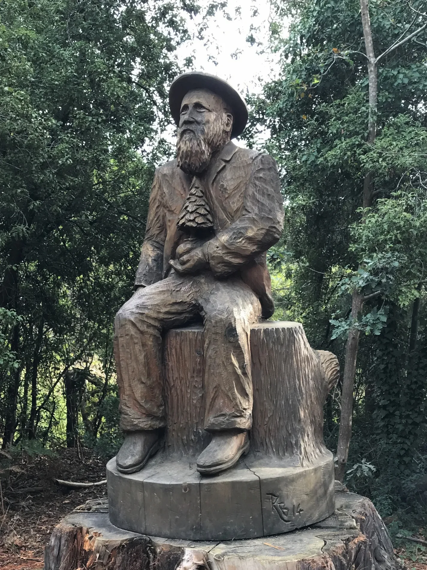
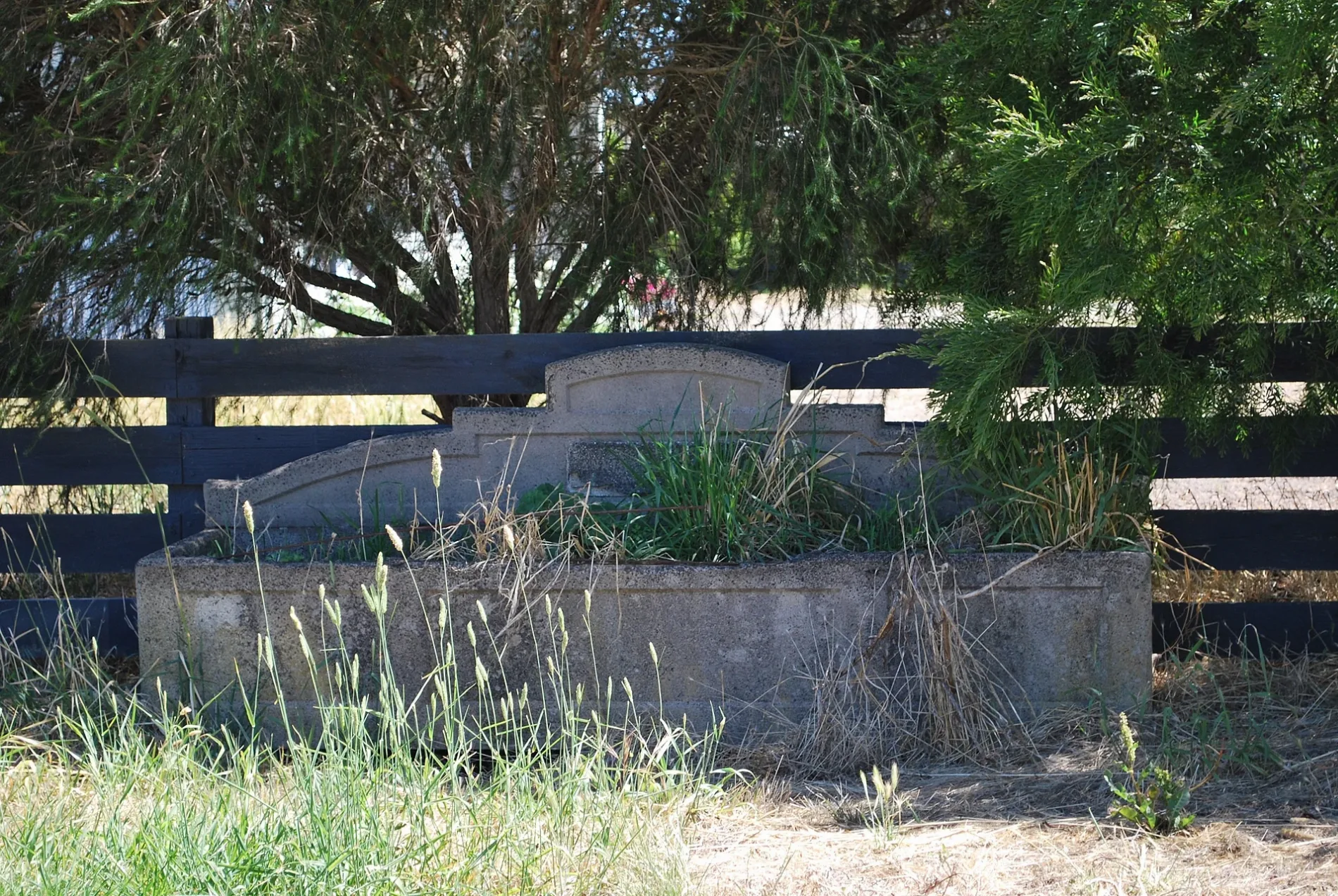
Photos from Creswick

Roads in Creswick
Roads
Albert Street
The American Hotel, Commonwealth Bank, Hyde Park Rd/Albert St, Hyde Park St/Albert St, Napier St/Albert St, Hall St/Albert St, Krackerjack's, Greenvale Quality Meats, Victoria St/Albert St, Smokeytown Cafe, Raglan St/Albert St, Creswick CFA, Creswick Library, Creswick RSL, Creswick Newsagency, Red Fox Deli, Creswick Bakery, Coin Laundry, Meg's Place, Creswick Bowling Club/Albert St, The Farmers Arms, Cushing Ave/Albert St
Victoria StreetInfolink, Creswick 1, Creswick IGA, Historic Marker, Creswick Farmers' Market, Drummond St/Victoria St
Creswick - Clunes RoadAlfred St/Clunes-Creswick Rd, Prince St/Clunes-Creswick Rd, Little King St/Clunes Rd, Harvey St/Clunes Rd, Williams St/Clunes-Creswick Rd
Midland HighwayO'Keefe's Dam RA, Jubilee Rd/Midland Hwy, Lakeside Dr/Midland Hwy
Clunes RoadPrince St/Clunes-Creswick Rd, Broomfield Rd/Clunes-Creswick Rd, Flemo's Milk Bar
Raglan StreetCreswick, Bendigo Bank, Raglan St/Albert St, Creswick LPO
Water StreetCreswick Town Hall Museum, Elderly Cits.
Napier StreetSt Augustine's Catholic Church, Police Station
Ballarat RoadWhite Hills Rd/Albert St
Bridge StreetMen's Shed
Railway ParadeCreswick Woollen Mills
Saint Georges StreetBBQ - gas
Wallaby TrackBBQ - fireplace
Cushing AvenueCreswick Hospital and Nursing Home
Augusta DriveRACV Goldfields Resort
Ford StreetSt Andrew's Uniting Church
Alfred Street
Barramal
Forest Resort Midland Highway
Guwak
Dipper Track
Carpenter Street
Cambridge Street
Andersons Road
Goldmine
Riverside Gold
Burke Street
Centre Road
Lindsay Park Drive
Wright Court
Jackass to Cosgrave Res
SK2
Jumping Jacks
Oak Gully Road
Geddes Street
Curtis Street
Liddicoat Road
Frenchmans Road
Saint Georges Lake Road
The Boulevard
Kangaroo Walk
Pearman Street
Morrisons Road
Cheney Road
Dowling Street
Haines Street
Sawyer
White Road
Kingfisher
Webb Street
Pollards Lane
Niggl Road
Semmens Avenue
Carmody Drive
Wild Orchid Road
Anne StreetBody of waters
Buildings
Ditches
Fitness centres
Industrial areas
Nature reserves
Quarries
Railway platforms
Sports pitches
Streams
Public transport map Creswick Legend
| Railway | |
| Bus | |
| Tram |
Cycling map Creswick Legend
| Cycle path | |
| Cycle lane on road | |
| Cycling on bus lane | |
| Bicycle street | |
| Cyclists allowed | |
| Cyclists allowed, good surface | |
| No cycling | |
| Cobblestones |
| Long-distance cycle route | (depending on scale) | |
| Long-distance cycle route |
Walking map Creswick Legend
| Path |
| Long-distance hiking trail | (depending on scale) | |
| Long-distance hiking trail | ||
| No pedestrians |