
George Street in Smeaton
George Street in Shire of Hepburn is a track. It runs in an east-west direction starting from Alice Street and ends at Alice Street.
- Road Type
- track
- Route
- east-west
Image
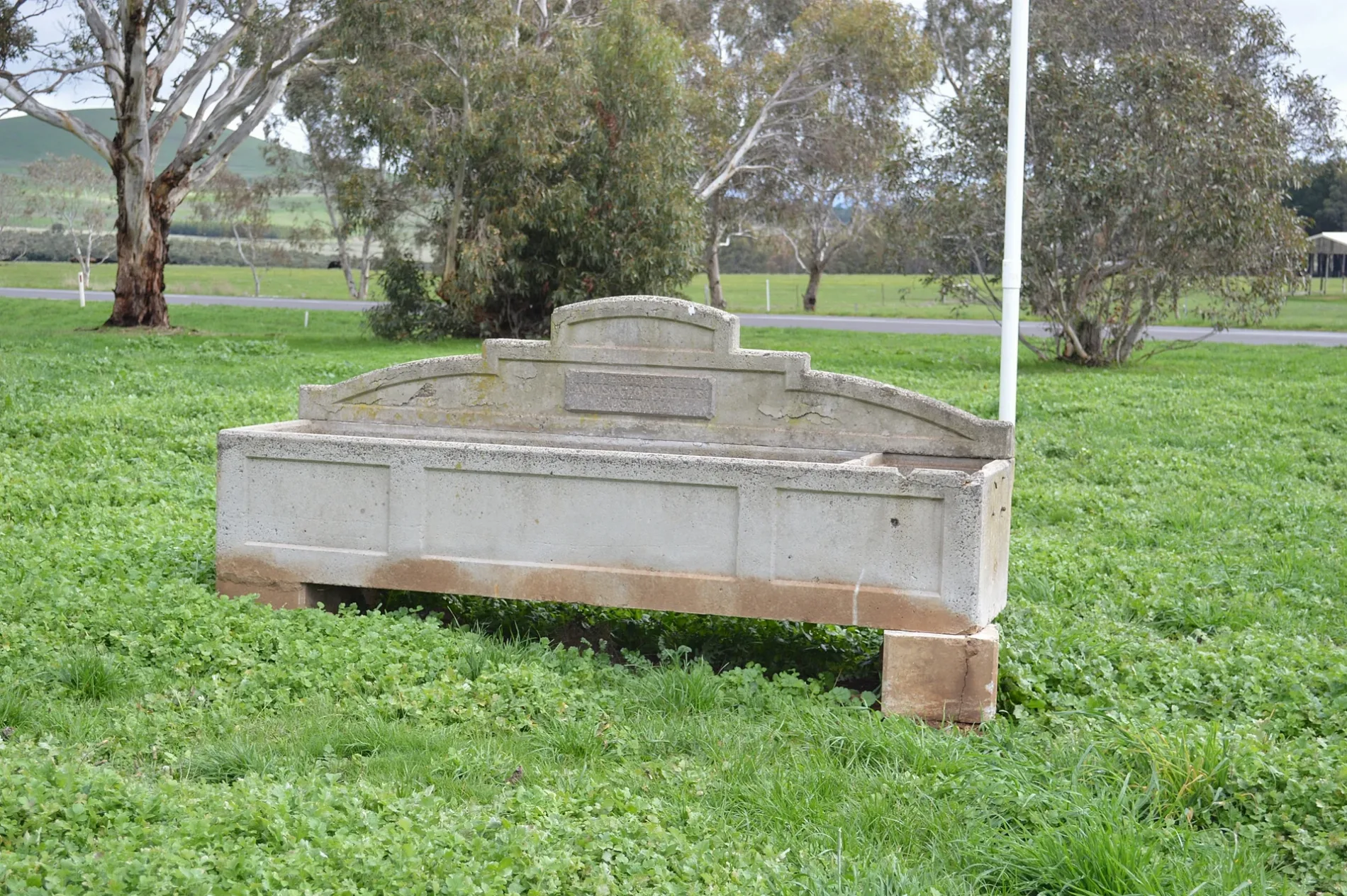
Roads nearby
Moorookyle Street100 m
Alice Street200 m
Corringarra Road200 m
Hepburn Street200 m
Arthur Street300 m
Elizabeth Street450 m
Back Smeaton Road450 m
Queen Street450 m
Calder Street450 m
Smeaton Street550 m
Birch Street700 m
Creswick-Newstead RoadCampbelltown, Smeaton Presbyterian Church
750 m
McLean Street750 m
Frederick Street750 m
Clunes - Daylesford RoadSmeaton, Cumberland Hotel
950 m
Mullers Lane2,4 km
Lone Hand Road2,8 km
Cemetery Right of Way3,3 km
Grays Road3,4 km
Cowies Road3,5 km
White Hills Road3,5 km
Allendale - Kingston Road3,5 km
Church Parade3,8 km
Estate Lane3,9 km
Werona-Kingston Road3,9 km
Newstead - Creswick Road3,9 km
Batten Street3,9 km
Charlesons Lane4,0 km
Parkin Street4,0 km
Kingston Road4,0 km
Kingston-Newlyn Road4,1 km
Cemetery Road4,2 km
Quarry Road4,3 km
Abandoned railways nearby
Daylesford - North Creswick Railway4,0 km
Buildings nearby
Andersons Mill100 m
Cumberland Hotel950 m
Smeaton Mill1,2 km
Cemeteries nearby
Cemetery3,3 km
Ditches nearby
Old Water Race550 m
Farmyards nearby
'Smeaton House'3,4 km
Quarries nearby
Earl of Beaconsfield Mine2,1 km
Lord Harry Mine2,5 km
Hepburn Home Paddock Mine3,0 km
Ristori West Mine3,5 km
De Murska Mine3,9 km
Hepburn Consols Mine4,0 km
Razed railways nearby
J & R Tyner's Siding3,8 km
Sports pitches nearby
Cricket/Football450 m
Streams nearby
Bullarook Creek200 m
 Public transport map Smeaton Legend
| Railway | |
| Bus | |
| Tram |
 Cycling map Smeaton Legend
| Cycle path | |
| Cycle lane on road | |
| Cycling on bus lane | |
| Bicycle street | |
| Cyclists allowed | |
| Cyclists allowed, good surface | |
| No cycling | |
| Cobblestones |
| Long-distance cycle route | (depending on scale) | |
| Long-distance cycle route |
 Walking map Smeaton Legend
| Path |
| Long-distance hiking trail | (depending on scale) | |
| Long-distance hiking trail | ||
| No pedestrians |