
Reid Highway PSP in West Swan
Reid Highway PSP in City of Swan is an asphalted cycle path and runs in an east-west direction starting from Middle Swan Road and crosses Reid Highway. This road is part of the bicycle route "SVLP1 Swan Valley Scenic Loop (south)". Reid Highway PSP also exists in Caversham and Beechboro.
- Bicycle
- designated
- Road Type
- cycle path
- Route
- east-west
Image
Petrol stations
Cafés
Bus stops
Roads nearby
Middle Swan Road100 m
Reid Harris Link Road250 m
Tomlin Street450 m
Pow Street500 m
Middle Harris Link Road600 m
Reid Highway700 m
West Swan RoadWest Swan Road after York Street, West Swan Road after George Street South, West Swan Road after Harrow Street, West Swan Road before Cranleigh Street, West Swan Road before Coast Road, West Swan Road after Woollcott Avenue, West Swan Road after Coast Road, West Swan Road before Reid Highway
750 m
Victoria Road800 m
Harris Road1,0 km
Colyton Street1,0 km
Swan Valley PathKatich’s The Grape Place, Caversham, Mobil, 7-Eleven
1,1 km
Winston Crescent1,1 km
Harford AvenueHarford Avenue after Ashby Terrace
1,2 km
Yule Avenue1,2 km
Maxwell Road1,2 km
York Lane1,2 km
Bernley Drive1,3 km
Sefton AvenueSefton Avenue after Stewartby Crescent
1,3 km
Bernborough Avenue1,3 km
Surrey Way1,3 km
Trent Street1,3 km
Ashby TerraceAshby Terrace after Sefton Avenue, Ashby Terrace after Avon Crescent, Ashby Terrace after Kent Street, Ashby Terrace before Kent Street, Ashby Terrace before Avon Crescent
1,3 km
Lasham Street1,3 km
Stewartby CrescentStewartby Crescent after Harford Avenue
1,3 km
De Burgh Road1,4 km
Yongara Mews1,4 km
Albarello Way1,4 km
Bertram Road1,4 km
Koomyle Mews1,4 km
Kardier Mews1,5 km
Cranwood Crescent1,5 km
Cranleigh Street1,5 km
Kent Street1,6 km
Jingella Mews1,6 km
Bassett Road1,7 km
Eveline Road1,7 km
Dale Road1,8 km
Body of waters nearby
Swan River1,5 km
Buildings nearby
Swan Wine Tasting1,4 km
Cafés nearby
Yahava Koffee Works1,2 km
Churches nearby
Saint Mary's Church1,1 km
Gallery nearby
Lynton & Kay Art Gallery650 m
Parks nearby
Reg Bond Reserve750 m
Plant nurseries nearby
Grass Trees Australia1,8 km
Prisons nearby
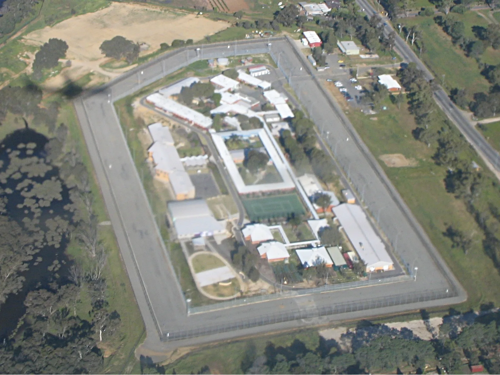
Bandyup Women's Prison200 m
Restaurants nearby
Penny Garden Restaurant1,1 km
Streams nearby
Jane Brook1,3 km
Wandoo Creek1,5 km
Vineyards nearby
Mandoon Vineyard350 m
Public transport map West Swan Legend
| Railway | |
| Bus | |
| Tram |
Cycling map West Swan Legend
| Cycle path | |
| Cycle lane on road | |
| Cycling on bus lane | |
| Bicycle street | |
| Cyclists allowed | |
| Cyclists allowed, good surface | |
| No cycling | |
| Cobblestones |
| Long-distance cycle route | (depending on scale) | |
| Long-distance cycle route |
Walking map West Swan Legend
| Path |
| Long-distance hiking trail | (depending on scale) | |
| Long-distance hiking trail | ||
| No pedestrians |