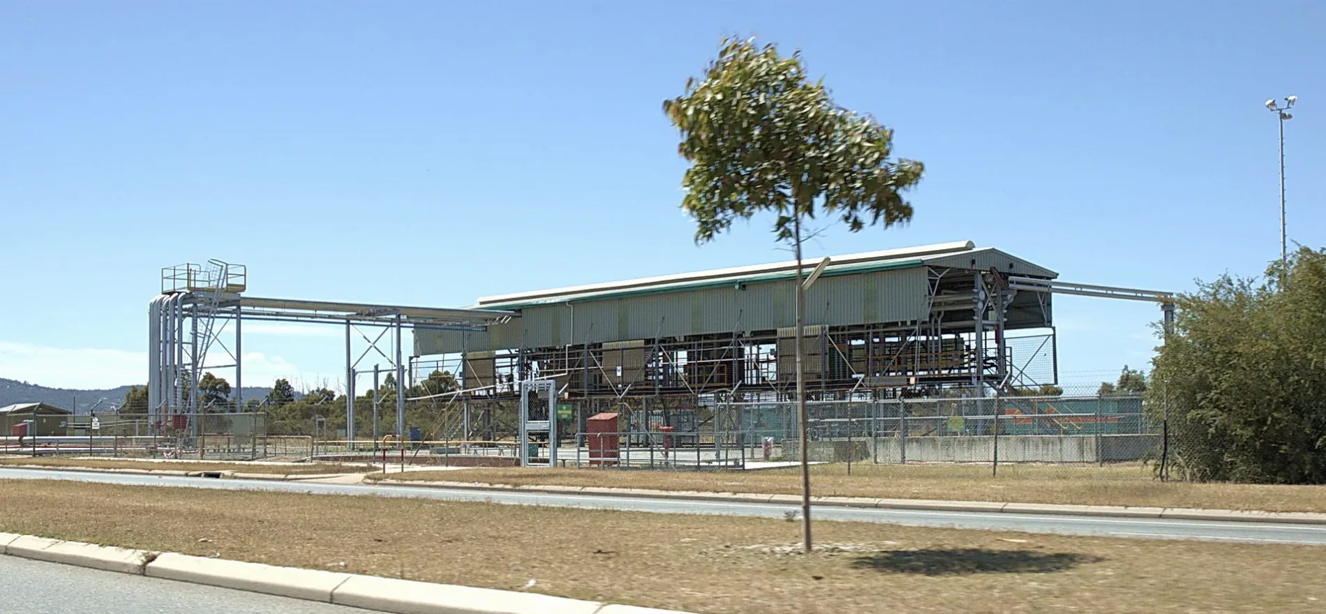
BP fuel siding at Kewdale Freight Terminal, Kewdale, Western Australia. This gantry uses over head loading with one side configured to load 3 narrow gage cars, the other side is configured for 2 standard gage cars. A two man crew loads between 20-26 cars per day, providing approximately 1.5m litres of fuel to Kalgoorlie per day, with diesel comprising 98% of the overall volume. – Nachoman-au, CC BY-SA 3.0 – Wikimedia Commons Kewdale is located in Western Australia. Around 6,891 people live here. Between 2016 and 2021, the population grew from 6,891 to 7,397. The region lies at 20 metres above sea level. Its area extends over around 8.4 square kilometres. Kewdale has around 614 streets. The postal codes are 6105. Kewdale is suburb of Perth, Western Australia. Among other things, Kewdale has public transport, cafés and banks.


 Public transport map Kewdale Legend
  Cycling map Kewdale Legend
  Walking map Kewdale Legend