
Wilson Street in Toodyay
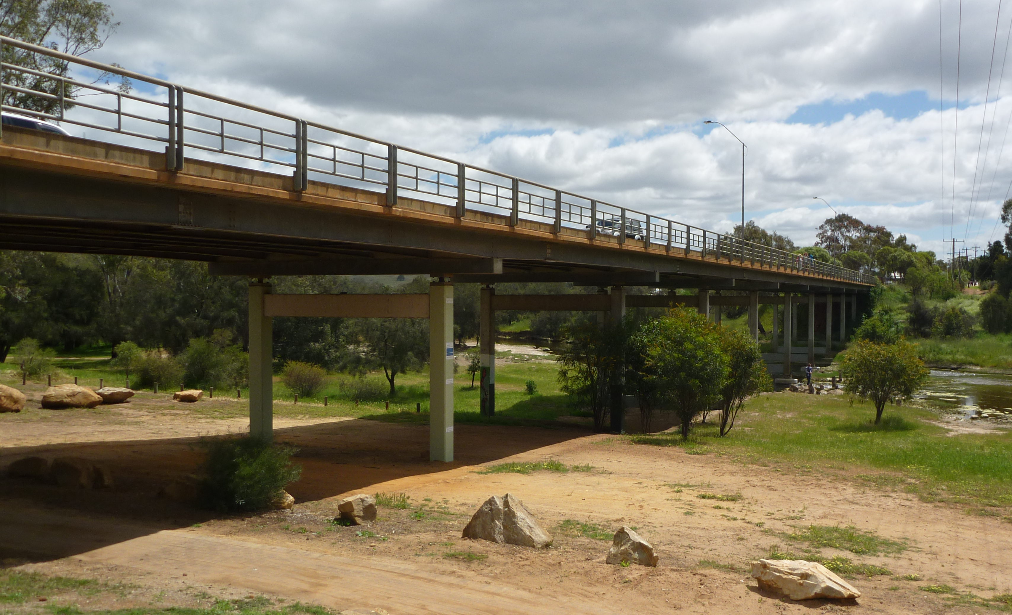
Wilson Street in Shire Of Toodyay is an asphalted residential street and runs in a southeast-northwest direction starting from Somers Street and ends at Drummond Street. Wilson Street also exists in Town of Claremont, Shire Of Augusta Margaret River, Shire Of Nannup, City Of Bunbury and Shire Of Collie.
- Road Type
- residential street
- Route
- southeast-northwest
Image
Clothing shops
Police stations
Motel
Platforms
Pharmacy
Garden centres
Viewpoint
DIY stores
Restaurants
Confectioneries
Post offices
Supermarkets
Interior decorators
Bank
Guest house
Pubs
Tourist information offices
Craft shops
Hotels
Stations
Cafés
Off-licences
Community centre
Roads nearby
Somers Street250 m
Mt Anderson Street250 m
Drummond Street250 m
Telegraph Road350 m
Settlers Ridge450 m
Harper RoadDuidgee Park
450 m
Nottingham Road500 m
Saint Stephens Street500 m
Piesse StreetToodyay LPO, Toodyay Visitor Centre, Ye Olde Lolly Shoppe
550 m
Pioneer Place550 m
Liddelow Place550 m
Connor Street600 m
Anzac AvenueToodyay
600 m
Rosedale Street600 m
Duke Street NorthChristmas 360
650 m
Lukin Street650 m
Westview Place700 m
Mastalerz Retreat700 m
Charcoal LaneToodyay Garden and Outdoor, Toodyay, Toodyay IGA
700 m
Fiennes Street700 m
Templar Lane750 m
Stirling TerraceFreemason's, Wendouree Tearooms, Toodyay Police Station, Victoria Hotel, Home Timber & Hardware, Cola Cafe, Toodyay Hardware, Victoria Hotel-Motel, Bendigo Bank, Toodyay Pharmacy, Bottlemart, Toodyay Manor Accomodation, Wear Art, The Crafters Emporium, Toodyay Community Centre, Toodyay Playgroup
750 m
Pelham Street800 m
Oddfellows Street800 m
Green Court1000 m
Ellery Place1000 m
Newcastle Park Footbridge1000 m
Duke StreetPelham's Lookout
1000 m
Clinton Street1,1 km
Bakeries nearby
Urwin's Store500 m
Body of waters nearby
Avon River250 m
Buildings nearby
Butterly House400 m
St Johns Ambulance Depot500 m
Connor's Cottage550 m
Telephone Exchange600 m
Demasson's House and Shop750 m
Old Police Stables900 m
Commercial areas nearby
Old council depot550 m
Hotels nearby
Freemason's500 m
Libraries nearby
Toodyay Public Library800 m
Museum nearby
Connor's Mill500 m
Old Gaol Museum850 m
Parks nearby
Duidgee Park250 m
Year of Youth Park850 m
Newcastle Park850 m
Prisons nearby
Old Police Lockup950 m
Recreation grounds nearby
Toodyay Showground450 m
Retail buildings nearby
IGA550 m
Town halls nearby
Memorial Hall550 m
Public transport map Toodyay Legend
| Railway | |
| Bus | |
| Tram |
Cycling map Toodyay Legend
| Cycle path | |
| Cycle lane on road | |
| Cycling on bus lane | |
| Bicycle street | |
| Cyclists allowed | |
| Cyclists allowed, good surface | |
| No cycling | |
| Cobblestones |
| Long-distance cycle route | (depending on scale) | |
| Long-distance cycle route |
Walking map Toodyay Legend
| Path |
| Long-distance hiking trail | (depending on scale) | |
| Long-distance hiking trail | ||
| No pedestrians |