
Station Street in Cottesloe
Station Street in Town of Cottesloe is a service road and it runs in an east-west direction starting from Railway Street and crosses De Nardi Lane. Station Street also exists in City of Subiaco, Shire of Donnybrook-Balingup, Shire of Merredin, Town of Cambridge and City of Bayswater.
- Road Type
- service road
- Route
- east-west
Image
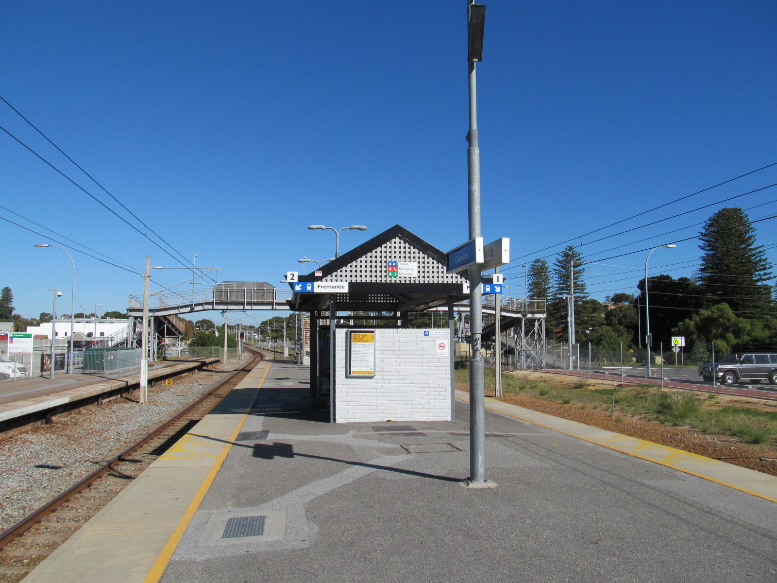
Cafés
Fast food restaurants
Charity shops
Hairdressers
Funeral directors
Public bookcases
Bus stops
Clothing shops
Stations
Artwork
Supermarkets
Animal boarding kennels
Restaurants
Platforms
Shelter
ATMs
Dentist
Veterinary clinic
Roads nearby
Bullen Lane50 m
De Nardi LaneToucan Cottesloe
100 m
Napoleon StreetVans Deli, Grill'd, Love Story, Gazman, Cimbalino, Australian Red Cross, Dark Night Shine
150 m
Forrest Street150 m
Clapham Lane150 m
Fremantle Railway Principle Shared PathCottesloe, Mosman Park, Grant Street, Cottlesloe, Cottesloe Station
150 m
Curtin AvenueCottesloe Police Station
200 m
Jarrad StreetBoatshed, Jarrad Street After Broome Street, Jarrad Street Before Broome Street, Bowra & O'Dea, Canine Lounge Dog Daycare
250 m
Brixton Street250 m
Leake StreetLeake Street After Stirling Highway, Leake Street Before Stirling Highway, Woolworths, Kathmandu
300 m
Finey Street300 m
Irvine Street300 m
Railway StreetRailway Street Before Station Street, Profile Orthodontics
350 m
Vera Street350 m
Barsden Street350 m
Lexcen Close400 m
Albion Street400 m
Bird Street450 m
Loma StreetLittle Free Library, Rob & Loraine's Little Free Library
450 m
Crossland Court450 m
Stirling HighwayVintage Cellars, Stirling Highway bfter Keane Street, Stirling Highway After Vera Street, Stirling Highway After Napier Street, Stirling Highway Before Keane Street, Pots WA, Cottesloe Vet, Saint Mary Star of the Sea, The Grove Library, Stirling Highway Before Vera Street, Stirling Highway After Airlie Street, Coffee Grove, Cottesloe Dental, Stirling Highway Before Clapham Lane, Red Rooster, Westpac, Two Fat Uncle, Aura Hair Beauty & Brow (Aveda Exclusive), Jade Court, Stirling Highway After Leake Street, Liquorland
450 m
Napier StreetSaint Phillips
500 m
Rosser Street500 m
Webb Street500 m
Marmion Street550 m
Venn Street550 m
Stanhope Street550 m
Keane StreetSaint Columba's Presbyterian Church
550 m
Graham Court550 m
Forrest Street Shared Path550 m
John StreetAmberjacks
600 m
Columba Place650 m
Broome StreetCottesloe, Broome Street After Hawkstone Street, Broome Street Before Hawkstone Street, Broome Street After Stanhope Street, Broome Street After Forrest Street
650 m
De Bernales Walkway650 m
Johnston Street750 m
Lillian Street750 m
Pearse Street800 m
Banks nearby
NAB150 m
Bicycle parkings nearby
Bike Shelter200 m
Buildings nearby
Trafalgar House400 m
Macaulay House400 m
Pine Lodge550 m
Old Cottesloe Police Station700 m
Commercial buildings nearby
PrivateInvest Pty Limited250 m
Houses nearby
Lewis House300 m
Pine Court550 m
Platforms nearby
Cottesloe150 m
Pubs nearby
Albion Hotel150 m
Restaurants nearby
John's Street Cafe650 m
Public transport map Cottesloe Legend
| Railway | |
| Bus | |
| Tram |
Cycling map Cottesloe Legend
| Cycle path | |
| Cycle lane on road | |
| Cycling on bus lane | |
| Bicycle street | |
| Cyclists allowed | |
| Cyclists allowed, good surface | |
| No cycling | |
| Cobblestones |
| Long-distance cycle route | (depending on scale) | |
| Long-distance cycle route |
Walking map Cottesloe Legend
| Path |
| Long-distance hiking trail | (depending on scale) | |
| Long-distance hiking trail | ||
| No pedestrians |