
Allison Way in Area H (North Oyster / Diamond), British Columbia
Allison Way in Area H (North Oyster / Diamond) is a two-lane, asphalted residential street. It runs in a north-south direction starting from Shell Beach Road and ends at Fearn Way.
- Road Type
- residential street
- Lanes
- 2
- Route
- north-south
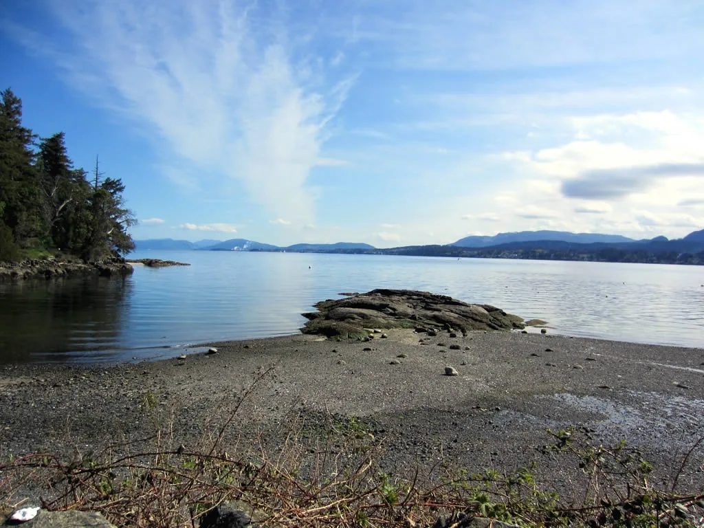
Image
Cafés
Petrol stations
Bus stops
Roads nearby
Fearn Way100 m
Elliot Way300 m
Louie Road400 m
Cove Road600 m
Fairtide Road700 m
Kumlocksun Road700 m
Pilon Road800 m
Harris Road1,0 km
Ocean View Road1,1 km
Thuq'min Road1,1 km
Rip Tide Road1,2 km
Nelson Point Road1,3 km
Tideview Road1,4 km
Silverstrand Road1,6 km
Shell Beach Road1,9 km
Church Road2,0 km
Rock Drive2,2 km
Entrance Avenue2,3 km
Ikwut Road2,6 km
Kenyon Road2,6 km
Solmie Road2,7 km
Blair Place2,7 km
Skye Road2,7 km
Woodley Road2,8 km
Green Hill Drive2,8 km
Glen Avenue2,8 km
Branksome Road2,8 km
Lagoon Road2,8 km
Chemainus RoadSaltair Food Market=, Saltair
2,9 km
Baker Road2,9 km
Stz'uminus Road3,0 km
Linton Circle3,0 km
Eagle Crescent3,0 km
Gait Road3,0 km
Farrell Road3,0 km
Sandpiper Drive3,0 km
North Watts Road3,0 km
Rumble Road3,1 km
Sulksun Road3,2 km
Sara Way3,3 km
Nature nearby
Bute Island2,3 km
Baies nearby
Davis Lagoon3,1 km
Cemeteries nearby
Kulleet Bay Cemetery3,2 km
Nature reserves nearby
Bazan Road Beach Access3,1 km
Parks nearby
Raven Park2,5 km
Gourlay-Janes Park2,6 km
Lagoon Bridge Beach Access2,9 km
Reefs nearby
Collins Shoal700 m
Cluster Rocks1,7 km
 Public transport map Area H (North Oyster / Diamond) Legend
| Railway | |
| Bus | |
| Tram |
 Cycling map Area H (North Oyster / Diamond) Legend
| Cycle path | |
| Cycle lane on road | |
| Cycling on bus lane | |
| Bicycle street | |
| Cyclists allowed | |
| Cyclists allowed, good surface | |
| No cycling | |
| Cobblestones |
| Long-distance cycle route | (depending on scale) | |
| Long-distance cycle route |
 Walking map Area H (North Oyster / Diamond) Legend
| Path |
| Long-distance hiking trail | (depending on scale) | |
| Long-distance hiking trail | ||
| No pedestrians |