
Municipality of North Cypress-Langford
Municipality of North Cypress – Langford is located in Manitoba. Municipality of North Cypress – Langford has around 598 streets. The region was founded in the year 2015. Municipality of North Cypress – Langford is rural municipality in Manitoba, Canada. Among other things, Municipality of North Cypress – Langford has hotels.
Municipality of North Cypress – Langford – Facts
| Inception | 2015 |
|---|---|
| Located in | Manitoba |
| Country | Canada |
| Significant event | union |
| Website | https://www.townofcarberry.ca/ |
Data source: Wikidata (CC0)
Photos from Municipality of North Cypress – Langford
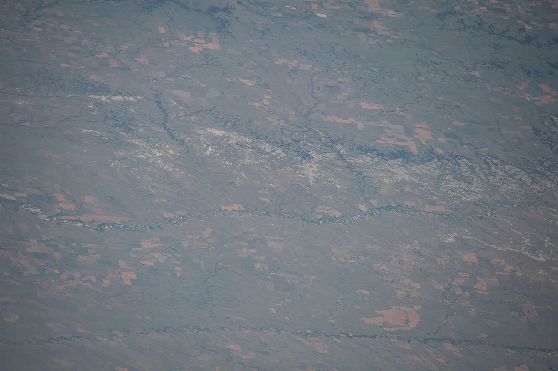
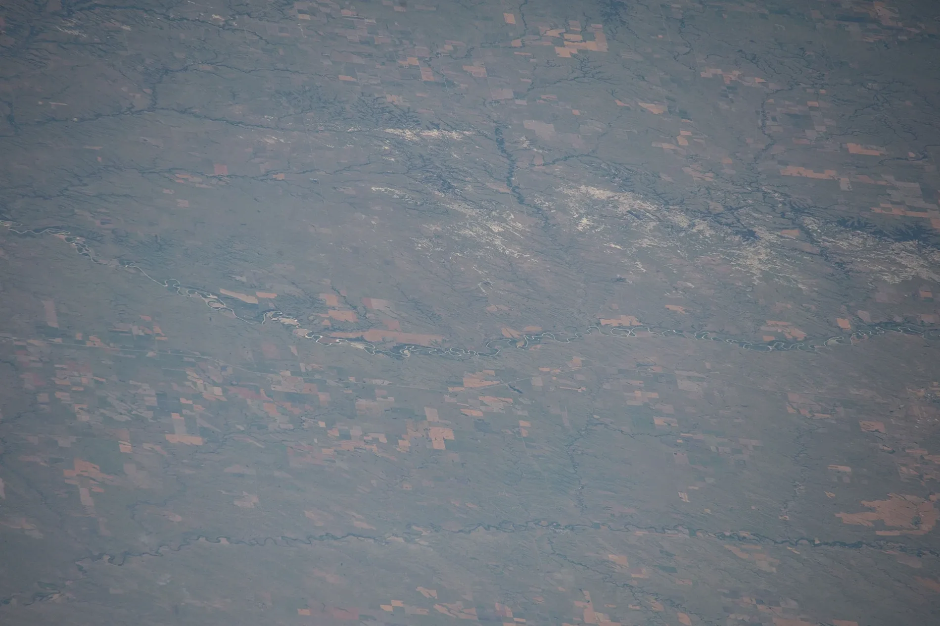


Roads in Municipality of North Cypress-Langford
Roads
Dennis Street
Provincial Road 353
Petrel Street
Provincial Road 464
Road 94W
Railway Avenue
Cypress Street
Road 96W
McNaughton Avenue West
Road 91W
Main Street
Agate Street
Road 80W
Road 72N
Road 87W
Ross Street
Road 69N
Road 71N
Road 85W
Gregg Road 81W
Second Avenue
Road 70N
Parks Route
Harte Road 88W
Harte Road
Watson Avenue
Norfolk Street
Road 82W
Road 86 West
First Avenue
Road 73N
Road 88 West
Road 83W
Ash Street
Lily Street
Kerefoot Street
Fairview Road
Road 68N
Road 80N
Road 81N
Dominion Road
Road 82N
Centennial Drive
Provincial Road 352
Yellowhead Highway
Westway Inn
Road 95W
Woodlea Road
Clinton Road
Trans-Canada Highway
Road 63 North
Ingelow Road 67NIngelow
Provincial Road 351
Road 90 W
Camp Hughes RoadHughes
Sapper Avenue
Horsham Road
Ortona Road
Aldershot RoadEsso
Lucia Road
Tete du Pont Road
Royal Avenue
Gunner RoadCFB Shilo
Fort Garry Road
St. Barbara Avenue
Onah RoadOnah
Portsmouth Road
Falaise Road
Bombardier Road
Champlain Road
Tarvia Road
Engineer Road
Edinburgh Road
Seven Oaks Road
Sewell Lake RoadSewell Lake Gate
Cove Road
Brighton Road
Patricia Road
Notre Dame AvenueCanEx
Dorking Road
Woods Avenue
Woolwich Road
Boulogne Road
The Parkway
Stand Easy Trail
Road 80 West
Road 66 North
Road 87 West
Road 84 W
Road 84W
Road 62 NorthFairview
Road 64 North
Road 66 N
Oak Sands Drive
Road 89 W
Road 88W
Road 82 West
Road 60 North
Road 65N
Road 85 West
Road 80 W
Road 86 W
Road 84 West
Gregg Road
Road 60N
Road 65 North
Road 81 W
Road 85 W
Wolfdale Road
Road 81 West
Wellwood Road
Road 79 West
Brown Road
Firdale Road
Road 76 West
Road 72 West
Road 77 West
Road 73 West
Road 78 West
Road 61 NorthBlue Silo Farm Store
Road 75 West
Road 72W
Melbourne RoadPleasant Point, Melbourne
Road 74 West
Carberry Trail
Fanny Street
Watterson Road
Fredrick Street
Road 56 North
Road 58 North
1961 French Fry Road
Road 56N
Road 58N
1940 Unity Drive
Road 54 North
Road 59N
Road 59 North
Snoman TrailBaragar
Howard Street
Dane Drive
Roundell Road
Robbie's Drive
Amanda's Way
Beaver Alley
Ridge Roadsniper range, Elkview
Diane Road
Muirhead Road
Provincial Road 465
Road 79W
Inchon Trail
Road 90W
Eagle Mountain Estates
Government Road
Elton Road
Road 57 North
Road 73W
Strawberry Lane
London RoadAbandoned railways
Body of waters
Buildings
L106 Transition Centre
L101 2PPCLI Medak Barracks
L105 Flatlands Dining Hall
Base HQ L102
M101 Restoration Building
M102 3CDTC Garage
L104 Barracks
L103 3CDTC Barracks
RP Ops Det Shilo
L117 Junior Ranks Mess
Military Police
Officier's Mess
The RCA Museum
SIGS
L110 Sgt & WO Mess
Sgt & WO Quarters
M127 Wood Hobby Club
G400 Maintenance
Base Supply
L25 Community Annex
Q2
19th Hole
L148 Communication Building
3CDTC C Coy HQ
C107
Enns Brothers
G21
L157 Storage
L142 Language Trg Centre
Roads and Grounds
R4-38 Gas Hut
Car parks
Cemeteries
Commercial buildings
Fire stations
Industrial areas
Military areas
Military buildings
Nature reserves
Railway lines
Service buildings
Sports centres
 Public transport map Municipality of North Cypress – Langford Legend
| Railway | |
| Bus | |
| Tram |
 Cycling map Municipality of North Cypress – Langford Legend
| Cycle path | |
| Cycle lane on road | |
| Cycling on bus lane | |
| Bicycle street | |
| Cyclists allowed | |
| Cyclists allowed, good surface | |
| No cycling | |
| Cobblestones |
| Long-distance cycle route | (depending on scale) | |
| Long-distance cycle route |
 Walking map Municipality of North Cypress – Langford Legend
| Path |
| Long-distance hiking trail | (depending on scale) | |
| Long-distance hiking trail | ||
| No pedestrians |