
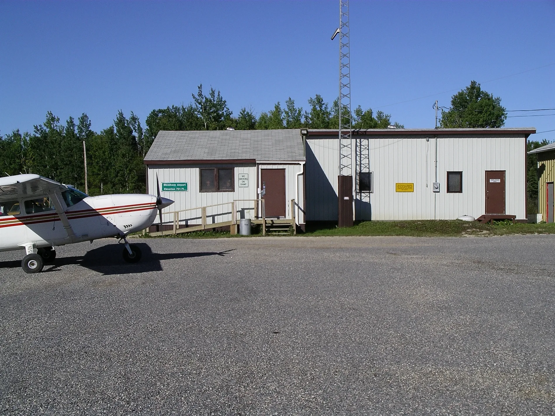
Bloodvein River Airport in Unorganized Division No. 19, Manitoba
Bloodvein River Airport in Unorganized Division No. 19 is an airfield (IATA: YDV, ICAO: CZTA). Bloodvein River Airport is also known as YDV. Ⓦ.
Image
School
Guest house
Fire station
Shelter
Training centres
Chalet
Campsite
Hotels
Convenience stores
Waste transfer stations
Community centre
Artwork
Roads nearby
Airport Road950 m
Bloodvein Road2,4 km
Rice River Road2,7 km
Old winter road2,9 km
Old ice road4,9 km
Shops nearby
Keller and Sons Store1,7 km
Body of waters nearby
Fuel Tank800 m
Lagoon2,2 km
Manamik Creek2,5 km
Kaneeshotekwayak Creek2,6 km
Buildings nearby
School550 m
Bloodvein Health Centre700 m
BFN Water Treatment Plant800 m
School Bus Garage800 m
BFN Community Garage900 m
CFS1,6 km
Car repair shops nearby
Mechanic Garage600 m
Community centres nearby
BFN Community Hall800 m
Garages nearby
Mikisi Towing650 m
Industrial areas nearby
Fuel Farm800 m
Office buildings nearby
Bloodvein First Nation Administration Office750 m
Police stations nearby
RCMP1,5 km
Residential areas nearby
Trailer Park700 m
Teacherages750 m
Rivers nearby
Bloodvein River1,6 km
Long Body Creek3,3 km
School buildings nearby
Bloodvein Satellite Classroom800 m
Sheds nearby
RCMP Shed1,6 km
Sports centres nearby
BFN Arena700 m
Streams nearby
Pakasekan Creek5,3 km
Other nearby
Bloodvein300 m
Kitchi Island850 m
Pesko Island1000 m
Red Rock Island8,8 km
| Elevation | 730 |
|---|---|
| Located in | Manitoba |
| Country | Canada |
 Public transport map Unorganized Division No. 19 Legend
| Railway | |
| Bus | |
| Tram |
 Cycling map Unorganized Division No. 19 Legend
| Cycle path | |
| Cycle lane on road | |
| Cycling on bus lane | |
| Bicycle street | |
| Cyclists allowed | |
| Cyclists allowed, good surface | |
| No cycling | |
| Cobblestones |
| Long-distance cycle route | (depending on scale) | |
| Long-distance cycle route |
 Walking map Unorganized Division No. 19 Legend
| Path |
| Long-distance hiking trail | (depending on scale) | |
| Long-distance hiking trail | ||
| No pedestrians |