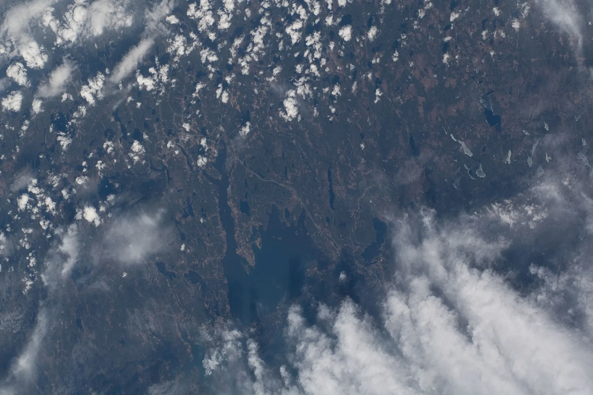
Municipality of Eastern Charlotte

This page is the city map of the Municipality of Eastern Charlotte, showing roads, paths, and places in a rural community of New Brunswick, Canada. The municipality is located in Charlotte County in the southwestern part of the province. OpenStreetMap divides the region into two municipalities and two subregions, with Saint George Parish and Pennfield Parish as administrative areas at level 8. Breadalbane and Bethel are additional local areas mapped at administrative level 9 within the Municipality of Eastern Charlotte.

City map Municipality of Eastern Charlotte
Original uploader was Alexvye at en.wikipedia, CC BY-SA 3.0 – Wikimedia Commons

Saint George Parish

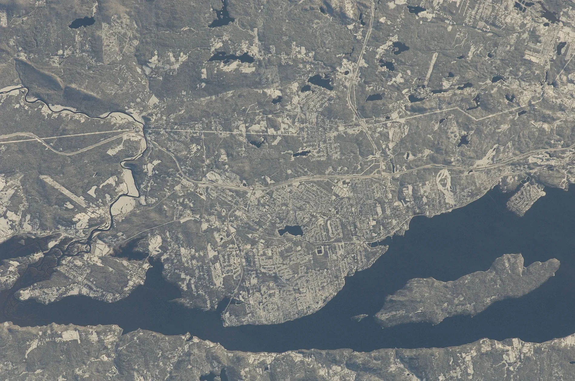
Saint George Parish is a parish in New Brunswick, Canada, and is mapped as an administrative level 8 area within the Municipality of Eastern Charlotte. It lies in Charlotte County, where the town of Saint George is associated with the Magaguadavic River and the river’s outlet toward Passamaquoddy Bay.

The area is connected with the southwestern New Brunswick landscape around the Magaguadavic River, forests, and coastal inlets. Saint George is known for its historic granite-quarrying industry, while the parish map identifies the surrounding roads, paths, and settlements rather than a separate urban municipality.
Pennfield Parish

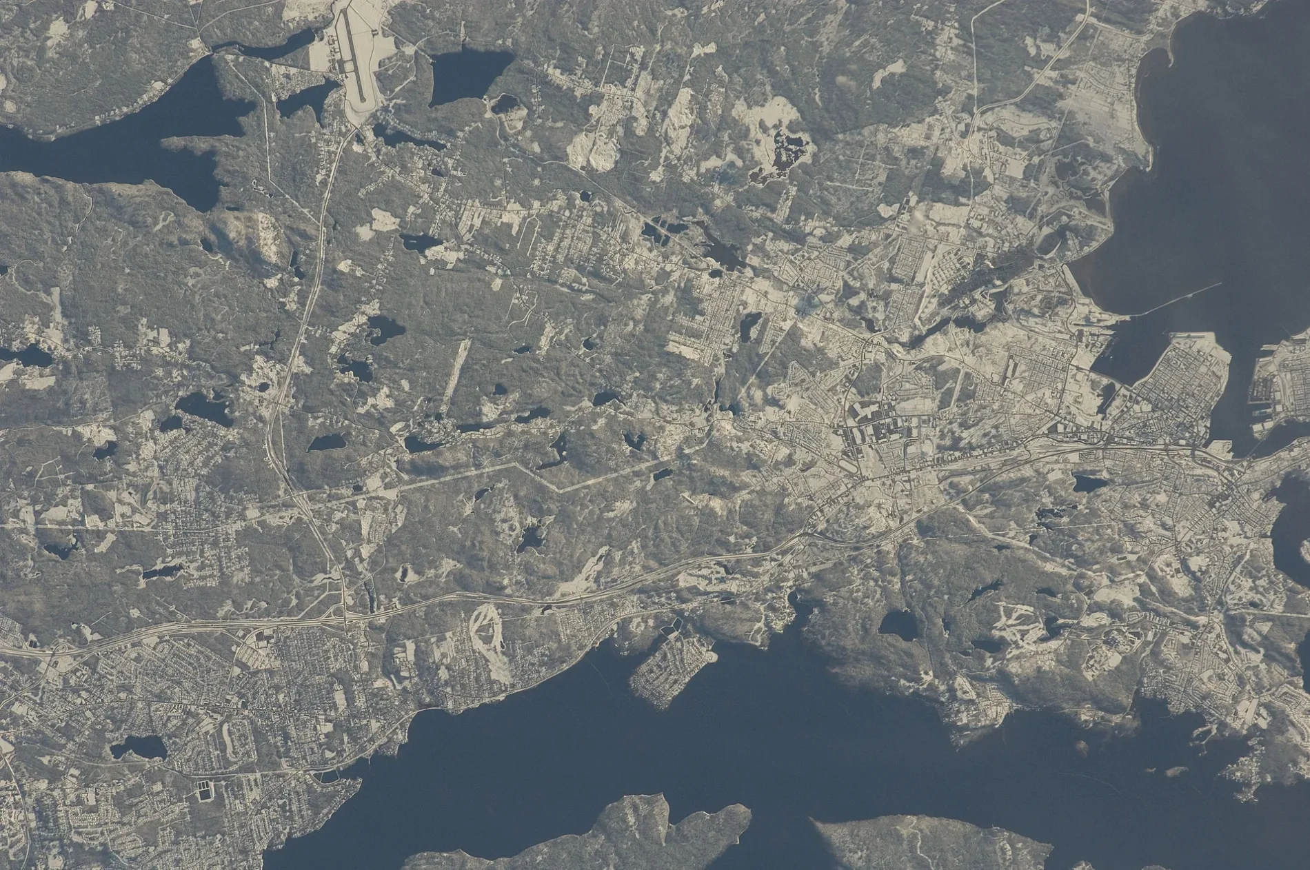
Pennfield Parish is a parish in Canada and an administrative level 8 area of the Municipality of Eastern Charlotte. It is located in Charlotte County on the Bay of Fundy side of southwestern New Brunswick, with settlements including Pennfield and Pennfield Ridge.

The parish contains rural areas connected by local roads and routes leading toward the Fundy coast and the Saint John region. Pennfield Ridge is associated with the former Royal Canadian Air Force Station Pennfield Ridge, an important Second World War training and airfield site in Charlotte County.

Breadalbane

Breadalbane is mapped as an administrative level 9 area within the Municipality of Eastern Charlotte in Charlotte County, New Brunswick. Its location is part of the rural interior between the communities of Saint George and Pennfield, within the forested landscape of southwestern New Brunswick.

The local map records Breadalbane together with the roads, paths, and places that connect this settlement area to the wider municipality. Its administrative position at level 9 distinguishes Breadalbane from Saint George Parish and Pennfield Parish, which are mapped at level 8.

Bethel

Bethel is an administrative level 9 area in the Municipality of Eastern Charlotte, located in Charlotte County, New Brunswick. It belongs to the rural settlement pattern of southwestern New Brunswick rather than to a separately incorporated city.

On the regional map, Bethel is identified through its local roads, paths, and mapped places within the Municipality of Eastern Charlotte. The area is grouped administratively with the larger Saint George Parish and Pennfield Parish surroundings in Charlotte County.

Data sources: OpenStreetMap (ODbL), Wikidata (CC0) · Image: Wikimedia Commons

Municipality of Eastern Charlotte – Facts

Subregions 4
Located in Charlotte County
Country Canada
Website https://easterncharlotte.ca/

Data source: Wikidata (CC0)