
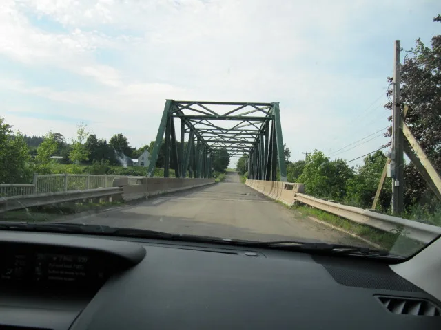
Bridge Street in Apohaqui, New Brunswick
Bridge Street in New Brunswick / Nouveau-Brunswick is a two-lane tertiary road and crosses a bridge. It crosses Route 121, Foster Avenue East, Foster Avenue West, George Street and Intercolonial Street and ends at Riverview Drive East and comes from Route 880. Bridge Street also exists in Comté de Gloucester, Queens County, Saint John County, Sunbury County and Victoria County.
- Road Type
- tertiary road
- Lanes
- 2
- Route
- southeast-northwest
Image
Roads nearby
Foster Avenue East200 m
Campbell Street200 m
Foster Avenue West200 m
Intercolonial Street350 m
Jones Memorial Park Road400 m
George Street450 m
Route 121Fox Hill
450 m
Holly Crescent650 m
Albert Street1,1 km
Anderson Drive1,3 km
Sunset Avenue1,3 km
Route 12,5 km
Drurys Cove Road3,3 km
Erb Settlement RoadErb Settlement
3,7 km
Monahan Drive3,7 km
East Riverview Drive3,9 km
McLeod Road3,9 km
Crothers Lane4,0 km
Route 880Berwick
4,1 km
Riverview Drive EastLower Cove
4,3 km
West Devine Road4,3 km
Route 875Lower Millstream
4,4 km
Roachville Road5,1 km
Route 10Irving
5,1 km
East Devine Road5,3 km
Body of waters nearby
Erb Lake4,7 km
Convenience stores nearby
Jones General Store300 m
Hotels nearby
Apohaqui Inn150 m
Parks nearby
Jones Memorial Park300 m
Places of worship nearby
Apohaqui Anglican Church250 m
Silas James Memorial Church350 m
Atlantic Community Church400 m
Post offices nearby
Canada Post250 m
Railway lines nearby
Sussex Subdivision2,3 km
Rivers nearby
Kennebecasis River2,9 km
School buildings nearby
Apohaqui Elementary School300 m
Streams nearby
Duncan Brook1,9 km
Thompson Brook2,3 km
Rouse Brook3,0 km
Musquash Brook3,7 km
Bell Brook4,3 km
Dobson Brook4,6 km
Other nearby
Drurys Cove800 m
Lower Millstream2,9 km
Erb Settlement4,1 km
Searsville4,3 km
Apohaqui4,3 km
Riverbank4,5 km
Berwick5,1 km
Public transport map Apohaqui Legend
| Railway | |
| Bus | |
| Tram |
Cycling map Apohaqui Legend
| Cycle path | |
| Cycle lane on road | |
| Cycling on bus lane | |
| Bicycle street | |
| Cyclists allowed | |
| Cyclists allowed, good surface | |
| No cycling | |
| Cobblestones |
| Long-distance cycle route | (depending on scale) | |
| Long-distance cycle route |
Walking map Apohaqui Legend
| Path |
| Long-distance hiking trail | (depending on scale) | |
| Long-distance hiking trail | ||
| No pedestrians |