Rothesay Parish

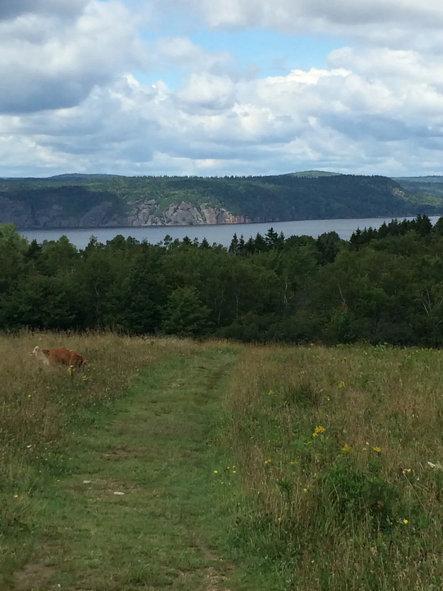
This page is the City map of Rothesay Parish in New Brunswick, Canada, showing streets, paths, and places within the region. Rothesay Parish is located in the Town of Rothesay and belongs to Kings County. The parish is divided into two subregions, Rothesay and Quispamsis, each represented at administrative level 9. The area lies in the Saint John River valley, near the Kennebecasis River and the City of Saint John.

Rothesay Parish – Facts

Subregions 2
Located in New Brunswick, Kings County
Country Canada

Data source: Wikidata (CC0)

Rothesay

Rothesay is one of the two administrative level 9 subregions of Rothesay Parish and is located within the Town of Rothesay in Kings County, New Brunswick. The town lies along the Kennebecasis River, which flows westward toward the Saint John River near Saint John. Rothesay is connected to the regional urban area by roads leading toward Saint John and Quispamsis.

The built-up area of Rothesay includes residential streets and established community facilities near the Kennebecasis waterfront. Rothesay forms the municipal setting from which the parish takes its name, while the wider landscape belongs to the lower Saint John River valley of southern New Brunswick.

Quispamsis

Quispamsis is the second administrative level 9 subregion of Rothesay Parish and is situated in Kings County, New Brunswick. The town extends along the Kennebecasis River and is directly associated with the growing urban corridor east and northeast of Saint John. Its streets connect residential districts with Rothesay, Saint John, and communities farther inland.

Quispamsis occupies a landscape of wooded uplands and river valleys characteristic of southern New Brunswick. The Kennebecasis River provides the defining geographic reference for the town, while the Saint John River system links Quispamsis with Rothesay and the regional centre of Saint John.

Data sources: OpenStreetMap (ODbL), Wikidata (CC0)