
Sommet Lane in Moncton, Moncton Parish, New Brunswick
Sommet Lane in Moncton Parish is a two-lane, asphalted minor road and runs in a southeast-northwest direction starting from Main Street and ends in a cul-de-sac. In the vicinity, there is a hotel. The nearest bus stop in the vicinity is 51 Church (approx. 250 m away).
- Road Type
- minor road
- Lanes
- 2
- Route
- southeast-northwest
Image
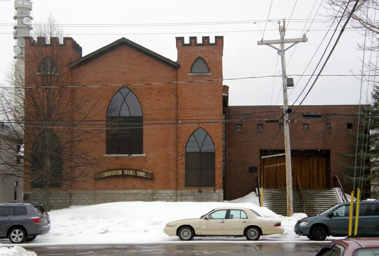
Hotels
Roads nearby
Alma StreetDowntown B&B
100 m
Westmorland StreetGusto Italian Grill & Bar
200 m
Oak StreetStile Fashion and Accessoires
250 m
Botsford Street250 m
Wesley Street250 m
Seymour Street250 m
Robinson StreetCinta Ria, IOOB Lounge, Keating's Tobacco
300 m
McMonagle Avenue350 m
Victoria StreetStyle by Siwar Studio
400 m
Church Street240 Church, 278 Church, 207 Church, 279 Church, 185 Church, 190 Church, 128 Church, 51 Church
500 m
O'Brien Street500 m
Rue Wesley500 m
Austin Street650 m
Railway Avenue700 m
Apartment buildings nearby
Glenn Abbey Housing Cooperative200 m
Church Court Apartments300 m
Queen Court Condominiums450 m
Archibald Residence500 m
Arts centres nearby
Aberdeen Cultural Centre600 m
Banks nearby
TD Canada Trust250 m
Building under constructions nearby
St. Bernard's Square350 m
Buildings nearby
Place L'Assomption150 m
La Mine D'or200 m
Bell Tower200 m
Third Glass Wine & Martinis250 m
Cafés nearby
Starbucks150 m
Commercial buildings nearby
Deloitte200 m
Community Peace Centre250 m
Convenience stores nearby
Wilsons Gas Stops450 m
Hotels nearby
St. James' Gate200 m
Marketplaces nearby
Marché Moncton Market250 m
Nightclubs nearby
Impulse150 m
Office buildings nearby
Tech Knowledge Solutions Inc.200 m
Parks nearby
Parc des arts du Sommet500 m
Places of worship nearby
Central United Church250 m
St. Georges Anglican Church250 m
Saint Bernard's Church300 m
First United Baptist Church300 m
Notre-Dame De L'Assomption Cathedral500 m
Pubs nearby
The Old Triangle150 m
Restaurants nearby
Mama's200 m
Calactus Cafe500 m
Retail buildings nearby
Ivan's Camera550 m
Service buildings nearby
Bell Aliant Moncton MCTNNBSA200 m
Theatres nearby
The Venue150 m
Capitol Theatre250 m
Empress Theatre300 m
théâtre l'Escaouette650 m
Town halls nearby
Hôtel de ville de Moncton200 m
Public transport map Moncton Legend
| Railway | |
| Bus | |
| Tram |
Cycling map Moncton Legend
| Cycle path | |
| Cycle lane on road | |
| Cycling on bus lane | |
| Bicycle street | |
| Cyclists allowed | |
| Cyclists allowed, good surface | |
| No cycling | |
| Cobblestones |
| Long-distance cycle route | (depending on scale) | |
| Long-distance cycle route |
Walking map Moncton Legend
| Path |
| Long-distance hiking trail | (depending on scale) | |
| Long-distance hiking trail | ||
| No pedestrians |