
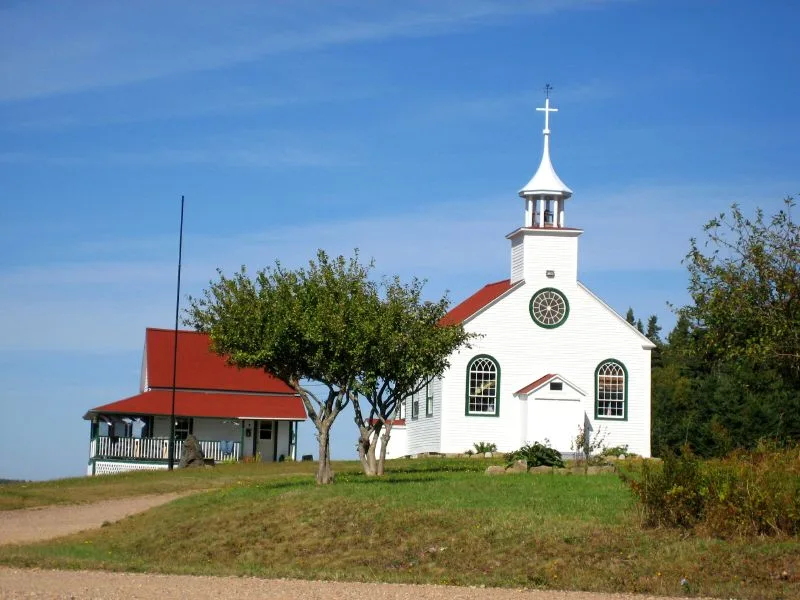
Dorchester Parish
Dorchester Parish is a parish in New Brunswick, Canada, and is recorded as an administrative level 8 subdivision within the Village de Memramcook region. Its recorded population is 438, and its mapped area is 90,130,000 square metres. The parish has a recorded elevation of 51 metres.
Dorchester Parish lies within Westmorland County, the same county that contains Village de Memramcook. The City map identifies this subregion through its roads, paths and named places, while the parish designation distinguishes it from the single municipality recorded for the wider region.
 Public transport map Village de Memramcook Legend
 Cycling map Village de Memramcook Legend
 Walking map Village de Memramcook Legend