
Murphy's Lane in Conception Bay South, Newfoundland and Labrador
Murphy's Lane in Conception Bay South is a two-lane residential street. It runs in a southeast-northwest direction starting from Topsail Beach Road. Murphy's Lane also exists in Portugal Cove - St. Philips, Wabana, Placentia and Gambo.
- Road Type
- residential street
- Lanes
- 2
- Route
- southeast-northwest
Image
Convenience stores
Post offices
Fire station
Kitchen showrooms
Cannabis shops
Restaurants
Car dealerships
Fast food restaurants
Clothing shops
Recycling centres
Car repair shops
Petrol stations
Bank
Car parts shops
Pharmacy
Roads nearby
Topsail Beach Road300 m
Geehans Drive350 m
Carters Lane400 m
Boggan's Meadow550 m
Boggan's Place550 m
Boggan's Lane550 m
Belle Isle Place700 m
Summit Drive750 m
Mainsail Drive750 m
Frog Pond Road800 m
Somerville Meadow900 m
Rosalie Place900 m
Treetops Lane900 m
Driftwood Place950 m
Miller's Road950 m
Birchwood Place950 m
Muncarter Place1000 m
Old Topsail Hill1000 m
Brighton Place1,0 km
Allan's Line1,0 km
Annies Place1,0 km
Serenity Lane1,1 km
T’Railway Provincial ParkWoodstock, Coffee Matters Paradise, Domino's, Subway, Get Messy NL, The Candy Corner, The Medicine Shoppe, Cojones, Cakey Hand, Sunsations Tanning Salon, Salon1
1,1 km
Arbour Place1,1 km
Wharf Lane1,1 km
Topsail Manor Estates1,1 km
Topsail View Park1,1 km
Barnes Place1,2 km
Monument Road1,2 km
Tranquil Place1,2 km
Parmiters Lane1,3 km
Barnes Lane1,3 km
Michelin Place1,3 km
Kingswood Estates1,4 km
Bailey Place1,4 km
Everest Street1,4 km
Greenvalley Lane1,4 km
Topsail Heights1,4 km
Shelburne Street1,4 km
Maple Street1,5 km
Spruce Hill Road1,5 km
Beaches nearby
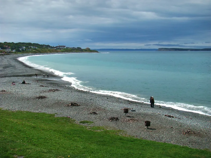
Topsail Beach500 m
Cliffs nearby
Topsail Beach Bluff600 m
Convenience stores nearby
Maries Mini Mart600 m
Parks nearby
Topsail Beach Rotary Park500 m
Public buildings nearby
Gazebo400 m
Residential areas nearby
Topsail1,1 km
Streams nearby
Topsail Brook150 m
Topsail River750 m
 Public transport map Conception Bay South Legend
| Railway | |
| Bus | |
| Tram |
 Cycling map Conception Bay South Legend
| Cycle path | |
| Cycle lane on road | |
| Cycling on bus lane | |
| Bicycle street | |
| Cyclists allowed | |
| Cyclists allowed, good surface | |
| No cycling | |
| Cobblestones |
| Long-distance cycle route | (depending on scale) | |
| Long-distance cycle route |
 Walking map Conception Bay South Legend
| Path |
| Long-distance hiking trail | (depending on scale) | |
| Long-distance hiking trail | ||
| No pedestrians |