
Pine Street in Deer Lake, Newfoundland and Labrador
Pine Street in Deer Lake is a two-lane residential street. It runs in a north-south direction starting from Chapel Hill Road and ends at Cresent Street. Pine Street also exists in Springdale, Buchans and Unincorporated Newfoundland.
- Road Type
- residential street
- Lanes
- 2
- Route
- north-south
Image
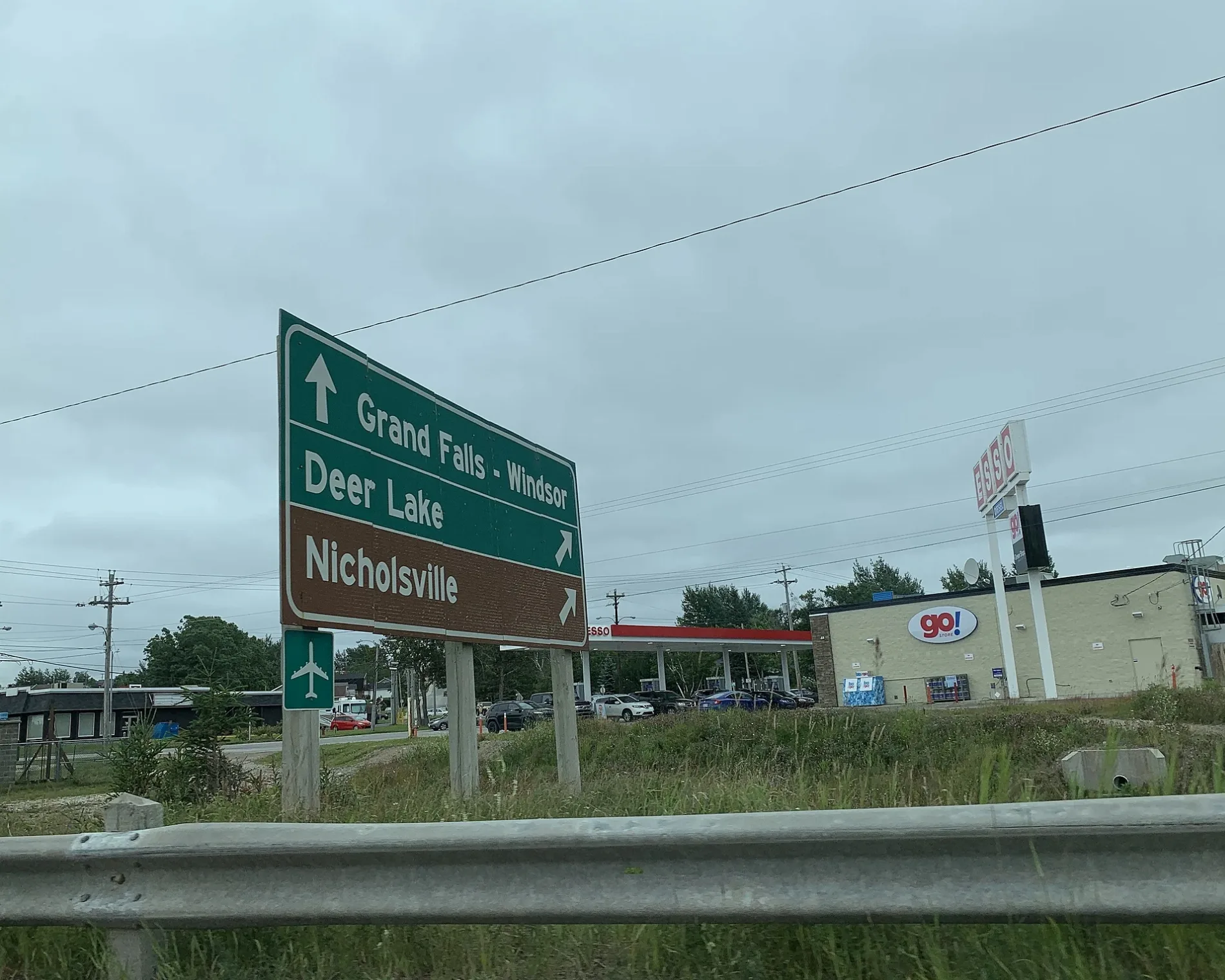
Pharmacy
Places of worship
Variety stores
Pubs
Department stores
Tourist information offices
Fast food restaurants
Off-licences
Cafés
Petrol stations
Supermarkets
Restaurants
Social centres
Laundries
Viewpoint
Roads nearby
Cresent StreetSt. Paul's United Church
50 m
Spruce Street150 m
Upper Nicholsville Road150 m
Chapel Hill RoadKFC
200 m
Crescent Street200 m
Commerce StreetEsso, Burger King, Peter's Pizza, Tim Hortons, Foodland, Pizza Delight, Riff's, Subway, A&W
250 m
Church Street250 m
Poplar Road300 m
Spence's LaneColemans, Liquor Express, Great Canadian Dollar Store
300 m
South Main Street350 m
Gatehouse Road350 m
Pennell's Lane350 m
Trans Canada HighwayRoyal Canadian Legion Hall, Mary Brown's, Irving, North Atlantic, Ultramar, Deer lake motel, Tim Horton, Deer lake visitor center, Lake Siding
400 m
Dr. T. Milton Green Square400 m
West Lane400 m
Goodyear Lane450 m
Lake Side Drive450 m
Garden Road450 m
Canal Road500 m
Main StreetLangers
500 m
Main Dam Road500 m
Middle Road500 m
Young's Avenue550 m
Xavier Lane550 m
Thomey Place550 m
Devon Row550 m
Clinic Drive650 m
Farm RoadLawton's Drugs
650 m
Elizabeth Avenue700 m
Chaulks Lane700 m
T’Railway Provincial ParkNorthern
700 m
First Avenue700 m
Nicholsville RoadJoe Buff's Lookout
750 m
Gate House Road750 m
Aspen Lane800 m
Squires RoadSpillway
800 m
Forest Drive800 m
Wight's RoadShoppers Drug Mart
800 m
Ridgeview Road850 m
Queen Street900 m
Lake View Crescent950 m
Peddles Road1,0 km
Hinks Lane1,1 km
Buildings nearby
Deer Lake Hydro Plant400 m
Cemeteries nearby
Farm Road Anglican Cemetery500 m
High Street United Church Cemetery550 m
Places of worship nearby
Salvation Army Citadel300 m
School buildings nearby
Xavier Junior High650 m
Streams nearby
Spillway650 m
 Public transport map Deer Lake Legend
| Railway | |
| Bus | |
| Tram |
 Cycling map Deer Lake Legend
| Cycle path | |
| Cycle lane on road | |
| Cycling on bus lane | |
| Bicycle street | |
| Cyclists allowed | |
| Cyclists allowed, good surface | |
| No cycling | |
| Cobblestones |
| Long-distance cycle route | (depending on scale) | |
| Long-distance cycle route |
 Walking map Deer Lake Legend
| Path |
| Long-distance hiking trail | (depending on scale) | |
| Long-distance hiking trail | ||
| No pedestrians |