
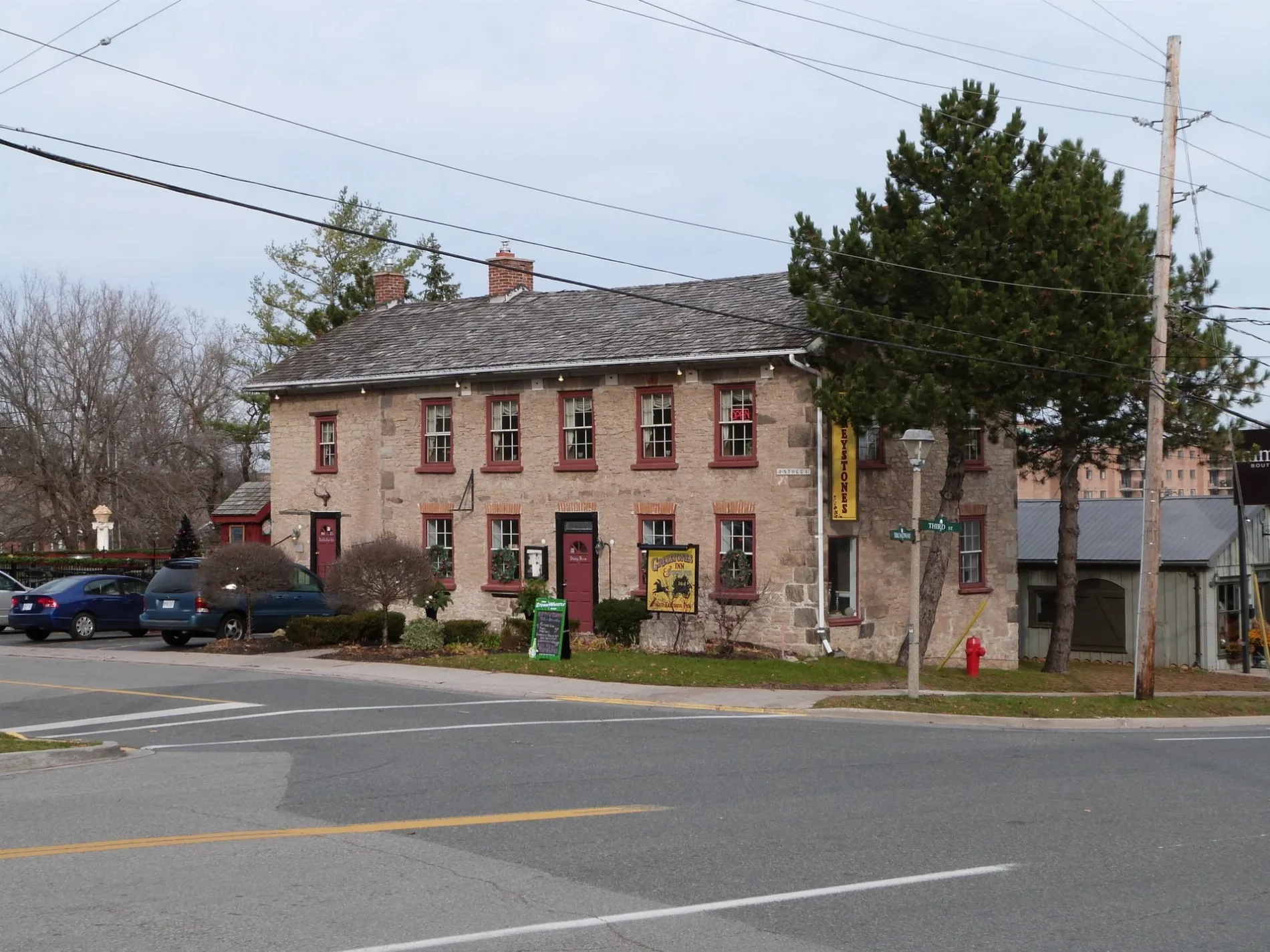
Parsons Street in Orangeville, Ontario
Parsons Street in Orangeville is a two-lane, asphalted residential street and it runs in a northeast-southwest direction starting from Wellington Street and ends at Amanda Street.
- Road Type
- residential street
- Lanes
- 2
- Route
- northeast-southwest
Image
Restaurants
Bicycle shops
Copy shops
Second-hand shops
Travel agencies
Dentist
Hairdressers
Pet shops
Bus stops
Sports shops
Cafés
Frame shops
Fast food restaurants
Car repair shops
Veterinary clinic
Convenience stores
Craft shops
Clinic
Roads nearby
Spring Street200 m
Front Street250 m
Amanda Street250 m
Wellington StreetCycling Elements
250 m
Sarah Street300 m
Orange StreetOrange Street @ Townline
300 m
Alexander Street300 m
Peavoy Lane350 m
Church Street350 m
Mary Street350 m
Armstrong StreetThe Barley Vine Rail Company, Dufferin Veterinary Hospital for Pets, Dog Gone Glamorus
400 m
2nd Street400 m
Insurance LaneOrangeville Public Library - Mill Street
450 m
BroadwayRBC, The Altered Native, Maggiolly Art Supplies, Euphoria Cafe and Smoothies, Meridian Credit Union, Wicked Shortbread, Bluebird Cafe and Grill, Bell, The Chocolate Shop, Up Yer Kilt, Cabelo, Somewhere Else, Moguls In Mocean, Paws & Claws Thrift Shop, Sport-Medic Physiotherapy Clnic, Orangeville Main Canada Post, Cunningham Vacuum, Uptown Theatre, Orangeville, Sproule's Emporium, Noinkees, Rustik, The Black Wolf Smokehouse, Henning Salon, Seconds Count, Pia's on Broadway, Hasty Market, Pear, Van's Jewellers, Dragonfly Arts on Broadway, The Tipsy Toad Pub & Grill, TD, Citrus City Tattoo, More than just Baskets, Manhattan Bead Company, Dr. Nails, Coriander Kitchen, Mochaberry Cafe & Co., Just be... Customized, As We Grow, Reader's Choice, Route 145, The Scented Drawer, Bamboo Babies Boutique, Blumen, A Touch of Class by Mags, LCBO, RiverEdge Dental, Bulk Barn, Pizza Nova, Flaunt Salon, Greenhawk Equestrian Sport, Chez Nous Thrift Boutique, Styling Essentials, Greystones, Global Pet Foods, Happy Craft, Insta Plus Printing, Subway, Sanderson Source for Sports, Guest Wok, Playfair Dental Centre, Leggett's Collision, Kerry’s Place Autism Services, Schnack & Co. Hair Design, The Hair Lab, Framed Design, Maritime Travel, Scotiabank, BMO, Pizza Pizza, Natural Choice, CIBC, Taco Bell, Duca, Green Apple Cafe, Pizza Depot, Eat Like Sabby, Tim Hortons, ANB Nails, Noah Brown Bridal Boutique, Deja Vu Diner, Atlanta Motel, The Hobby Shoppe, Hair Expressions, Broadview Fish & Chips, Amos One Stop Variety & Meat, Dufferin Outdoor Supply, Kutz on Demand, Broadway Dental, Casa Del Gelato, Dollar Tree, Stacked Pancake & Breakfast House, A&W, Hakim Optical, Angel's Diner, Holbrooks, FreshCo
450 m
Town LineSunny Green Mart, Super Lube, Becker's, East Coast Fish & Chips, Dufferin Apparel & Promotional Products, KFC, Pita Pit, Barth’s Cleaning Centre
450 m
Mill StreetFromage, Iconic Salon & Barbershop, The Gauntlet Comics and Games, Meraki Beauty Lounge, Finders Keepers Orangeville, Green Monkey Creative
450 m
4th StreetPizzaville, M&M Food Market, Doogan's, Winexpert, Total Convenience, Body Bar Hair Salon, Advance Cellular, Diamond House Dentistry
450 m
3rd Street450 m
Dairy LaneFirst Street Variety, Aart's Hair Studio
500 m
Margaret Street500 m
Little York StreetKitchen Art, Orangeville Outlet Centre, Soulyve
500 m
1st AvenueMoney Mart, Prairie Rose Coffee & Tea, The Wyndham Exchange
550 m
Hannah Street550 m
Henry Street550 m
Carriage Lane550 m
1st StreetPizza Hut, Beveled Edge, Forage, National Bank, Swiss Chalet, Coin-op Car Wash, Suds 'n Shine, Ruby Pier, Howard Johnson Orangeville, Harvey's, Kitchen to the Table, Fig Grocers, Credit Creek Dental, Subway, Harmony Whole Foods Market, First St @ Fourth Ave
650 m
Mike Pearson Lane650 m
John StreetOrangeville Flowers, Gazebo
700 m
Monument Lane700 m
Zina Street700 m
York Street700 m
Hope Lane700 m
2nd Avenue700 m
Penny Lane750 m
Westminster Lane750 m
Abandoned railways nearby
OBRY Owen Sound Subdivision650 m
Buildings nearby
Bell600 m
Royal Canada Legion650 m
Commercial areas nearby
Downtown Orangeville650 m
Parks nearby
Mill Square Park400 m
Alexandra Park450 m
Petrol stations nearby
Esso450 m
Shell700 m
Places of worship nearby
Saint Mark's Anglican Church650 m
Tweedsmuir Presbyterian Church700 m
Covenant Community Church700 m
Sports pitches nearby
Idlewyld Small Baseball Diamond600 m
Streams nearby
Mill Creek550 m
Town halls nearby
Town Hall450 m
Public transport map Orangeville Legend
| Railway | |
| Bus | |
| Tram |
Cycling map Orangeville Legend
| Cycle path | |
| Cycle lane on road | |
| Cycling on bus lane | |
| Bicycle street | |
| Cyclists allowed | |
| Cyclists allowed, good surface | |
| No cycling | |
| Cobblestones |
| Long-distance cycle route | (depending on scale) | |
| Long-distance cycle route |
Walking map Orangeville Legend
| Path |
| Long-distance hiking trail | (depending on scale) | |
| Long-distance hiking trail | ||
| No pedestrians |