
Acrevale Road in Kawartha Lakes
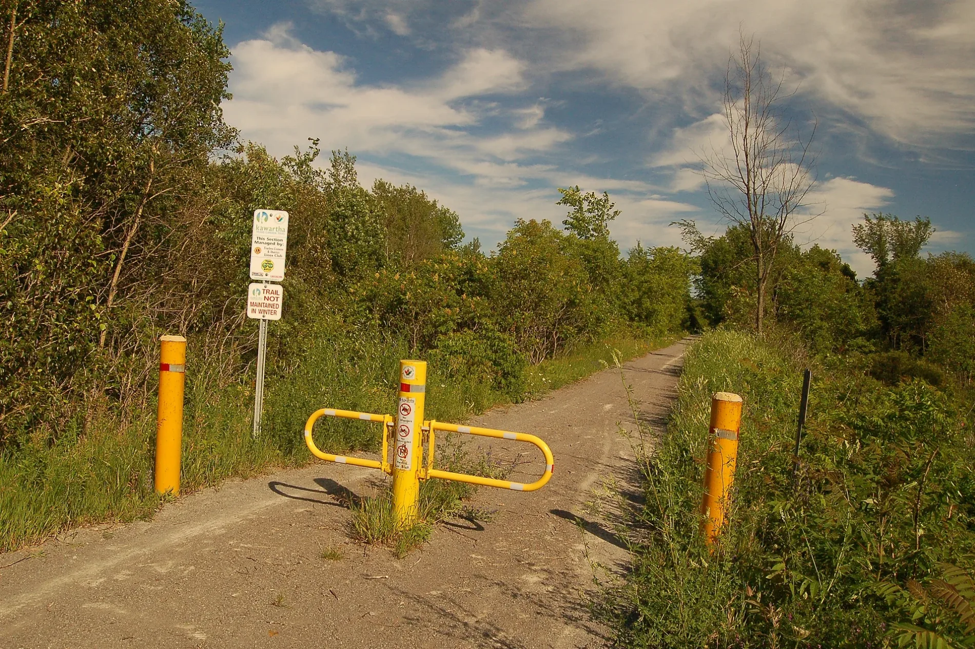
Acrevale Road in Kawartha Lakes is a two-lane, unpaved residential street (50 km/h). It runs in a north-south direction starting from Grassy Road and ends at Highway 7.
- Road Type
- residential street
- Lanes
- 2
- Speed Limit
- 50
- Route
- north-south
Image
Places of worship
Social centres
Supermarkets
Off-licences
Post offices
Car dealerships
Tourist information offices
Fast food restaurants
Pharmacy
Computer shops
Theatres
Library
Restaurants
Petrol stations
Convenience stores
Fishing shops
- GOAT Angling Adventures (opening hours: Mon–Fri 9–17) at Charlore Park Drive 188 (K0L 2W0). GOAT Angling Adventures believe you deserve to work with an experienced angler and fishing charter in Kawartha Lakes. Whether you are a novice or an experienced angler, when you put your trust in GOAT Angling Adventures you will learn how to fish. – approx. 5,0 km.
Cafés
Roads nearby
Grassy Road900 m
Omemee Rail TrailKawartha Trans Canada Trail
900 m
Cornwall Street1,0 km
Highway 7Cunningham's Corners, Oakwood, Manilla, Canada Post
1,1 km
Hawke Drive1,2 km
Andrew Court1,6 km
Beaver Road1,6 km
Lupton Court1,8 km
Queen Street North2,0 km
Wellington Street East2,0 km
Hughes Street South2,0 km
Parkview Court2,0 km
Emily Street North2,0 km
Springbank Road2,0 km
Division Street North2,1 km
Division Street South2,1 km
Henry Street East2,1 km
John Street East2,1 km
Riverview Drive2,1 km
Rotary Greenway TrailKawartha Trans Canada Trail
2,1 km
Marsh Trail2,2 km
Dutrisac Drive2,2 km
King Street EastManley’s, The Grilled Cheese Hideaway, Video 99, Luigi’s Pizza, Jug City, Caygeon Chicken, Grant’s Family Butcher Shop, Pawz ‘N’ clawz, LCBO, Muster Point, Inn Style Salon, Omemee, Foodland, Royal Canadian Legion Hall, Bill's Pizza House, Kawartha Lakes Public Library - Bobcaygeon Branch, The Beer Store, Bobcaygeon British Shop, My Favourite Thing, Bobcaygeon Bakery, Kindred Coffee Bar, Granny Bird's Wool Shoppe, Just For The Halibut
2,2 km
Valley Road2,2 km
Distillery Street2,2 km
Mill Street2,3 km
Colborne Street North2,3 km
Queen Street South2,3 km
Cottingham Road2,3 km
Cowans Crescent2,3 km
George Street NorthI.D.A.
2,3 km
Rutland Street East2,3 km
Mary Street EastLCBO, Circle K, Subway
2,3 km
Elm Street East2,3 km
Victoria Street East2,4 km
Emily Park Road2,4 km
Fox Road2,4 km
Church Street East2,4 km
Carlton Crescent2,4 km
Mount Nebo Road2,4 km
Sturgeon Road NorthReaboro-Omemee Baptist Church
2,4 km
Campsite nearby
Emily Provincial Park - Circle Campground2,2 km
Cemeteries nearby
Emily Cemetery1,0 km
Chapels nearby
Lady Eaton Chapel1,1 km
Petrol stations nearby
Cango1,1 km
Esso2,1 km
Places of worship nearby
Christ Church2,1 km
Restaurants nearby
Wing House2,4 km
Rivers nearby
Pigeon River2,1 km
 Public transport map Kawartha Lakes Legend
| Railway | |
| Bus | |
| Tram |
 Cycling map Kawartha Lakes Legend
| Cycle path | |
| Cycle lane on road | |
| Cycling on bus lane | |
| Bicycle street | |
| Cyclists allowed | |
| Cyclists allowed, good surface | |
| No cycling | |
| Cobblestones |
| Long-distance cycle route | (depending on scale) | |
| Long-distance cycle route |
 Walking map Kawartha Lakes Legend
| Path |
| Long-distance hiking trail | (depending on scale) | |
| Long-distance hiking trail | ||
| No pedestrians |