
Lexington Avenue in Orillia
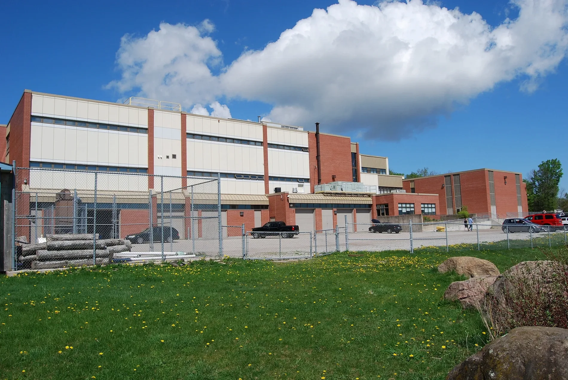
Lexington Avenue in Orillia is a two-lane residential street. It runs in a southeast-northwest direction starting from Barrie Road and ends at Birch Street.
- Road Type
- residential street
- Lanes
- 2
- Route
- southeast-northwest
Image
Petrol stations
Computer shops
Wine shops
Pharmacy
Bank
Self-storages
Fast food restaurants
Restaurants
Bus stops
Mobile phone shops
Car repair shops
Post offices
Clinic
Roads nearby
Birch Street100 m
Cindy Lee Crescent250 m
Jameson Street250 m
Christine Place300 m
George Street300 m
Lakeview Avenue300 m
Elmer Avenue350 m
Courtney Crescent350 m
Dunn Avenue350 m
Barrie RoadPetro Canada, Circle K
400 m
Marlisa Drive400 m
Andrea Crescent400 m
Adair Street400 m
Westmount Drive South400 m
Rose AvenueTops in Pizza
450 m
Rachael Road450 m
Argyle Avenue450 m
Edna Street450 m
Highway 12West Ridge Coin Laundry, Circle K, Orillia Eyecare, TNT Lingerie, Orillia Fire Station
500 m
Linwood Avenue500 m
Carlton Street500 m
Kevin Court600 m
Clinton Street600 m
Brandon Crescent600 m
Dallas Street600 m
Walker Avenue650 m
Mississaga Street WestTardis, CIBC, Cards and Coasters, Creative Nomad, Era 67, Poppies Bagel Company
700 m
Grenville Avenue700 m
Hammond Avenue700 m
Memorial AvenueShell, Computer Elite, Bolt's Auto, Subway, Rogers, Fellini, Domino's, Money Mart, The UPS Store, Pharmasave, Mary Brown's, Papa John's, Memorial Avenue at OPP, The Grape & Olive, Memorial Avenue at Best Western, Memorial Avenue at Kelsey's, Harvey's, Quesada
750 m
McKinnell Street800 m
Bleeker Street800 m
Albany Avenue800 m
Elmer Park800 m
Allan Street800 m
Woodside DriveQuality Inn & Conference Centre, 201 Grill and Game Bar, Orillia West Canada Post
850 m
Frederick Street850 m
McKenzie Street850 m
Westmount Drive North850 m
Mary StreetOrillia Foot Clinic & Wellness Centre
900 m
Colborne Street WestRexall
900 m
Ashton Street900 m
Motel nearby
Econo Lodge700 m
Parks nearby
Lakeview Park400 m
Grenville Park700 m
Restaurants nearby
Hill's Maple Leaf700 m
Thai Plate700 m
Social facilities nearby
Oak Terrace800 m
Variety stores nearby
Dollarama700 m
 Public transport map Orillia Legend
| Railway | |
| Bus | |
| Tram |
 Cycling map Orillia Legend
| Cycle path | |
| Cycle lane on road | |
| Cycling on bus lane | |
| Bicycle street | |
| Cyclists allowed | |
| Cyclists allowed, good surface | |
| No cycling | |
| Cobblestones |
| Long-distance cycle route | (depending on scale) | |
| Long-distance cycle route |
 Walking map Orillia Legend
| Path |
| Long-distance hiking trail | (depending on scale) | |
| Long-distance hiking trail | ||
| No pedestrians |