
McIsaac Way in Parry Sound, Ontario
McIsaac Way in Parry Sound is a single-lane, asphalted minor road. It runs as a one-way street in a southwest-northeast direction starting from Bay Street and ends at James Street. McIsaac Way is also known as Tribute Road. In the vicinity, there is a beer garden.
- Alternative Name
- Tribute Road
- Road Type
- minor road
- Lanes
- 1
- Route
- north-south
Image
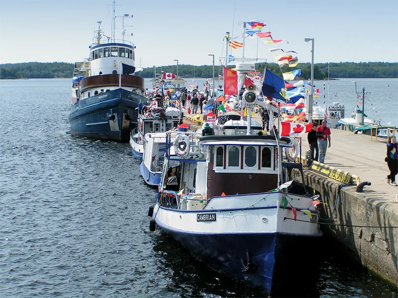
Beer gardens
Roads nearby
James StreetKenney's Shoe Store, Moon River Apothecary, The She Shed Beauty Bar, Jeans Unlimited, THE BARGAIN SHOP, Juke's Lane, Grey Area Apparel, Kreative Artwork and Tattoo, Town Trading Post Ltd, Shelby's Hair Salon, Jessica Vergeer Studio, The Growling Room, The Drop Parry Sound, Golden Dragon
150 m
Bay StreetBob's Point, Bobby Orr Hall of Fame, Boston Pizza
150 m
Rotary Algonquin Regiment Fitness TrailIsland Queen Cruise
200 m
Gibson StreetBayside Inn, Benjamin Moore
200 m
Oak Avenue200 m
Park Lane250 m
Belvedere Avenue250 m
Johnson Street250 m
Seguin StreetParry Sound, LCBO, Pizzaville, Sara's Mini Mart, Seguin Fish & Chips, Ideal Supply, Crafts N' Things, La Kim Nails & Spa, NAPA Auto Parts, I.D.A., Parry Sound Books, I Branched Out, Kawartha Credit Union
350 m
Ashwood Drive350 m
Sunset Avenue400 m
Bayview Road450 m
Church Street450 m
Waubeek Street500 m
Amenities nearby
Children's Aid Society Nippising & Parry Sound400 m
DIY stores nearby
Home Building Centre250 m
Leisure nearby
Oakcrest Co.350 m
Apartment buildings nearby
Pine Lodge Apartments300 m
Banks nearby
CIBC350 m
Scotiabank350 m
Beauty salons nearby
Luxury Nails & Spa350 m
Bookshops nearby
Bearly Used Books250 m
Buildings nearby
Township of The Archipelago200 m
Town of Parry Sound300 m
Service Ontario400 m
Cannabis shops nearby
True North Cannabis Co.350 m
Clothing shops nearby
High Tide350 m
Mitch's350 m
Convenience stores nearby
Sara's Mini Mart350 m
Fast food restaurants nearby
Pizzaville350 m
Fire stations nearby
Parry Sound Fire Complex450 m
Florist's nearby
Pardon My Garden350 m
Obdam's Flowers400 m
Gift shops nearby
Somewhere In Time350 m
Hairdresser's nearby
Clippers Hair Salon350 m
Harold's Barber Shop350 m
Health food shops nearby
Georgian Bay Whole Foods300 m
Hotels nearby
Mid Town Hotel350 m
Ice rinks nearby
Parry Sound Curling Club300 m
Outdoor shops nearby
White Squall Outdoor Store300 m
Pharmacies nearby
I.D.A.400 m
Places of worship nearby
Saint Andrew's Presbyterian Church350 m
Railway lines nearby
Parry Sound Subdivision500 m
Restaurants nearby
Henry's Harbour250 m
Seguin Fish & Chips350 m
Retail buildings nearby
Beatty Building350 m
Social facilities nearby
Belvedere Heights450 m
Sports pitches nearby
Parry Sound Skate Park200 m
Theatres nearby
Charles W. Stockey Centre for the Performing Arts450 m
Public transport map Parry Sound Legend
| Railway | |
| Bus | |
| Tram |
Cycling map Parry Sound Legend
| Cycle path | |
| Cycle lane on road | |
| Cycling on bus lane | |
| Bicycle street | |
| Cyclists allowed | |
| Cyclists allowed, good surface | |
| No cycling | |
| Cobblestones |
| Long-distance cycle route | (depending on scale) | |
| Long-distance cycle route |
Walking map Parry Sound Legend
| Path |
| Long-distance hiking trail | (depending on scale) | |
| Long-distance hiking trail | ||
| No pedestrians |