
Oastler Park Drive in Parry Sound, Ontario
Oastler Park Drive in Parry Sound is a two-lane, asphalted tertiary road and it runs in a southeast direction starting from Bowes Street and ends in a cul-de-sac. In the vicinity, there is a charging station.
- Road Type
- tertiary road
- Lanes
- 2
- Route
- southeast-northwest
Image
Charging stations
Roads nearby
McDonald's Drive-Through250 m
Starbucks Drive-ThruStarbucks, Tesla Supercharger
300 m
Harvey's Drive-ThroughHarvey's, Swiss Chalet, Stacked Pancake House
350 m
Pine DrivePet Valu, Subway, Best Buy Express, Value Buds, Domino's, M&M Food Market, Pharmasave
450 m
Bowes Street / McDougall Road500 m
Bowes StreetTown of Parry Sound, Shoppers Drug Mart, Shell, Tim Hortons, KFC
600 m
Carol Court800 m
Greenwood Crescent900 m
Parry Sound Road900 m
Leisure Lane950 m
McDougall Road1000 m
Brenda Avenue1000 m
Edward Street1,0 km
Featherston Crescent1,1 km
Regency Drive1,2 km
Highway 4001,2 km
Louisa Street1,3 km
Hilly Lane1,4 km
McDougall Road West1,5 km
Cedar Shore Road1,5 km
DIY stores nearby
Rona350 m
The Home Depot600 m
Antique shops nearby
Timeless-Antiques750 m
Building under constructions nearby
Food Basics750 m
Buildings nearby
Dollar Tree250 m
Engel & Völkers1000 m
FYidocotors1,0 km
Car repair shops nearby
Mr. Lube950 m
Georgian Bay Automotive1,4 km
Convenience stores nearby
Shell350 m
Department stores nearby
Canadian Tire100 m
Walmart700 m
Fast food restaurants nearby
McDonald's300 m
Funeral directors nearby
Torrance Funeral Home & Chapel850 m
Greengrocers nearby
The Farmers Market1000 m
Hotels nearby
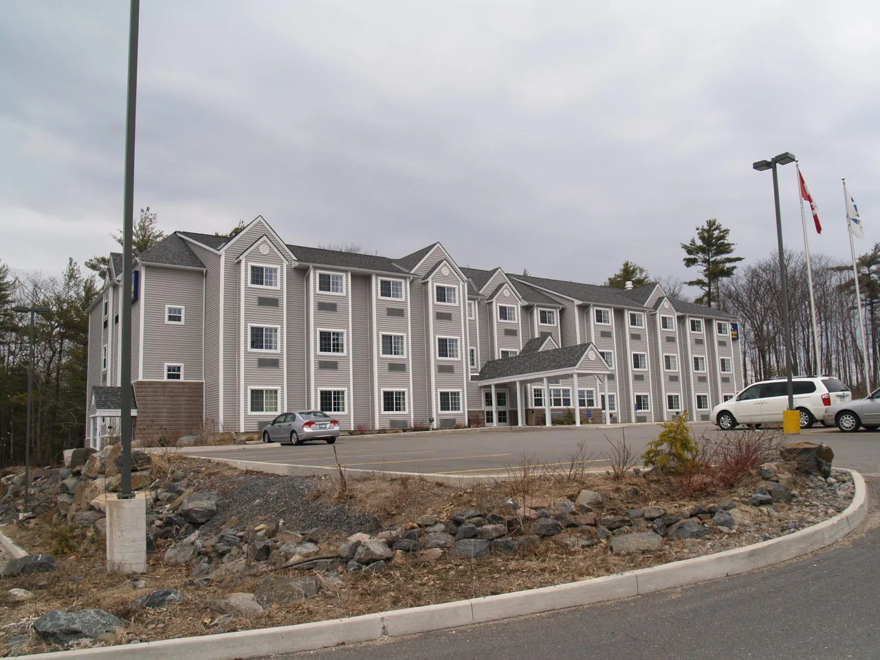
Comfort Inn350 m
Parry Sound Inn & Suites350 m
Best Western500 m
Petrol stations nearby
Pioneer750 m
Railway lines nearby
CN Bala Subdivision900 m
Boyne Siding1,1 km
Restaurants nearby
Pizza Hut450 m
Maurizio's Pizza800 m
Supermarkets nearby
Sobeys200 m
Glen Burney Provisions Co.800 m
Veterinary practices nearby
Georgian Animal Hospital450 m
Cottage Country Animal Clinic1000 m
Water towers nearby
Parry Sound South Tower550 m
Other nearby
Parry Sound Medical Heliport800 m
Public transport map Parry Sound Legend
| Railway | |
| Bus | |
| Tram |
Cycling map Parry Sound Legend
| Cycle path | |
| Cycle lane on road | |
| Cycling on bus lane | |
| Bicycle street | |
| Cyclists allowed | |
| Cyclists allowed, good surface | |
| No cycling | |
| Cobblestones |
| Long-distance cycle route | (depending on scale) | |
| Long-distance cycle route |
Walking map Parry Sound Legend
| Path |
| Long-distance hiking trail | (depending on scale) | |
| Long-distance hiking trail | ||
| No pedestrians |