
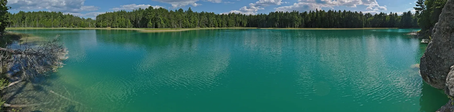
loop trail in North Kawartha
Loop trail in North Kawartha is an unpaved footpath. It runs in a southeast-northwest direction and ends in a cul-de-sac.
- Bicycle
- no
- Road Type
- footpath
- Route
- southeast-northwest
Image
Restaurants
Off-licences
Library
Fishing shops
Campsite
Shelter
Convenience stores
Tourist information offices
Post offices
Roads nearby
Hull's Road1,6 km
County Road 61,6 km
Fire Route 262,2 km
Fire Route 272,3 km
Fire Route 282,3 km
Fire Route 242,3 km
Fire Route 232,3 km
Cheboutequion Drive2,4 km
West Kosh Road2,6 km
Oakridge Drive2,6 km
Northey's Bay RoadNorth Kawartha Public Library - Woodview Branch, Woodview
2,6 km
Napier Crescent2,6 km
Fire Route 302,7 km
Fire Route 313,1 km
Fire Route 223,2 km
Fire Route 323,3 km
Fire Route 903,7 km
Fire Route 33a3,7 km
South Bayshore Road East3,8 km
Fire Route 333,9 km
Blue Mountain Road3,9 km
South Bay Road4,0 km
Fire Route 204,1 km
Fire Route 92a4,1 km
South Bayshore Road West4,1 km
Fire Route 20a4,1 km
Kosh Road4,1 km
Fire Route 914,1 km
Fire Route 934,1 km
Hull Road4,1 km
Julia Shore Road West4,3 km
Nature nearby
Doe Island2,9 km
Tickmo Island3,3 km
Quarry Island3,6 km
Body of waters nearby
McGinnis Lake400 m
Minnow Lake1,8 km
Eels Creek3,6 km
Buildings nearby
Petroglyphs Provincial Park1,7 km
Railway lines nearby
Nephton Subdivision4,0 km
Service buildings nearby
Petroglyphs Provincial Park Visitor Centre1,4 km
Streams nearby
Jack Creek1,4 km
Woodlands nearby
Craig Island2,8 km
Cotton Island3,4 km
Hilliard Island3,4 km
Pine Island3,5 km
Grubbe Island3,8 km
Long Island3,9 km
Indian Island4,1 km
Other nearby
Whale Island3,5 km
 Public transport map North Kawartha Legend
| Railway | |
| Bus | |
| Tram |
 Cycling map North Kawartha Legend
| Cycle path | |
| Cycle lane on road | |
| Cycling on bus lane | |
| Bicycle street | |
| Cyclists allowed | |
| Cyclists allowed, good surface | |
| No cycling | |
| Cobblestones |
| Long-distance cycle route | (depending on scale) | |
| Long-distance cycle route |
 Walking map North Kawartha Legend
| Path |
| Long-distance hiking trail | (depending on scale) | |
| Long-distance hiking trail | ||
| No pedestrians |