
Trent-Severn Waterway in Ramara
Trent-Severn Waterway in Ramara Township is a fairway. Trent-Severn Waterway is also known as Trentkanal. Trent-Severn Waterway also exists in Severn. Ⓦ.
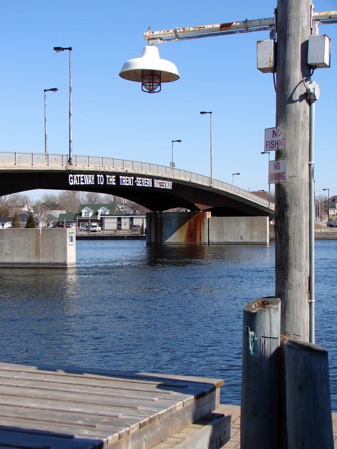
- Waterway Type
- fairway
Restaurants
General stores
Fast food restaurants
Antique shops
Library
Places of worship
Campsite
Off-licences
Car dealerships
Butcher's
Bar
Cafés
Self-storages
Roads nearby
Water's Edge Trail2,1 km
Trailer Sanitation2,5 km
Cedar Point Lane2,6 km
Lakeview Drive2,6 km
Hilltop Road2,7 km
Anderson Avenue2,7 km
Byers Lane2,8 km
Glen Cedar Drive2,8 km
Whitney Drive2,8 km
Parkside Drive2,8 km
McRae Park RoadHarry's Corner
2,9 km
Joyce Avenue2,9 km
Prophet Park Crescent2,9 km
Orkney Beach Road3,0 km
Joyland Drive3,0 km
Bayview Avenue3,2 km
Woodland Drive3,2 km
Florence Avenue3,3 km
Muley Point Lane3,5 km
Courtland Street3,6 km
Wellington Street3,6 km
Paget Street3,7 km
Muley Point Road3,7 km
Creighton Street3,7 km
Ellen Street3,8 km
Zachary Crescent3,9 km
Forest Avenue South4,0 km
Glencoe Beach Road4,1 km
Kurtis Drive4,2 km
Plum Point Road4,2 km
Patricia Drive4,2 km
Balsam Road4,2 km
Victoria Crescent4,3 km
Daniel Street4,3 km
McNeil Street4,4 km
Winchester Street4,4 km
Orkney Heights4,4 km
Highway 12Captain Jack's Fish & Chips, Tim Hortons, Ramara Township Public Library - Atherley Branch, Leska's, Dubzys Ice Cream, Lambert's
4,5 km
Buildings nearby
Gate House3,3 km
Campsite nearby
McRae Point Park - North Campground2,5 km
McRae Point Park - South Campground2,5 km
Mara Campground3,2 km
Marinas nearby
Marina del Rey3,3 km
Parks nearby
McRae Point Provincial Park1,5 km
Mara Provincial Park3,3 km
Atherley Community Park4,4 km
Tourist information offices nearby
Registration Office2,3 km
Other nearby
Goffatt Island1,9 km
Grape Island3,7 km
| Heritage designation | national historic site of Canada |
|---|---|
| Located in | Ontario |
| Country | Canada |
| Website | https://www.pc.gc.ca/en/lhn-nhs/on/trentsevern |
| Has part | Trent River, Rice Lake, Otonabee River, Kawartha Lakes, Sturgeon Lake, Talbot River, Lake Simcoe, Severn River |
 Public transport map Ramara Township Legend
| Railway | |
| Bus | |
| Tram |
 Cycling map Ramara Township Legend
| Cycle path | |
| Cycle lane on road | |
| Cycling on bus lane | |
| Bicycle street | |
| Cyclists allowed | |
| Cyclists allowed, good surface | |
| No cycling | |
| Cobblestones |
| Long-distance cycle route | (depending on scale) | |
| Long-distance cycle route |
 Walking map Ramara Township Legend
| Path |
| Long-distance hiking trail | (depending on scale) | |
| Long-distance hiking trail | ||
| No pedestrians |