
Crownhill Street in Beacon Hill-Cyrville, Ottawa, Ontario
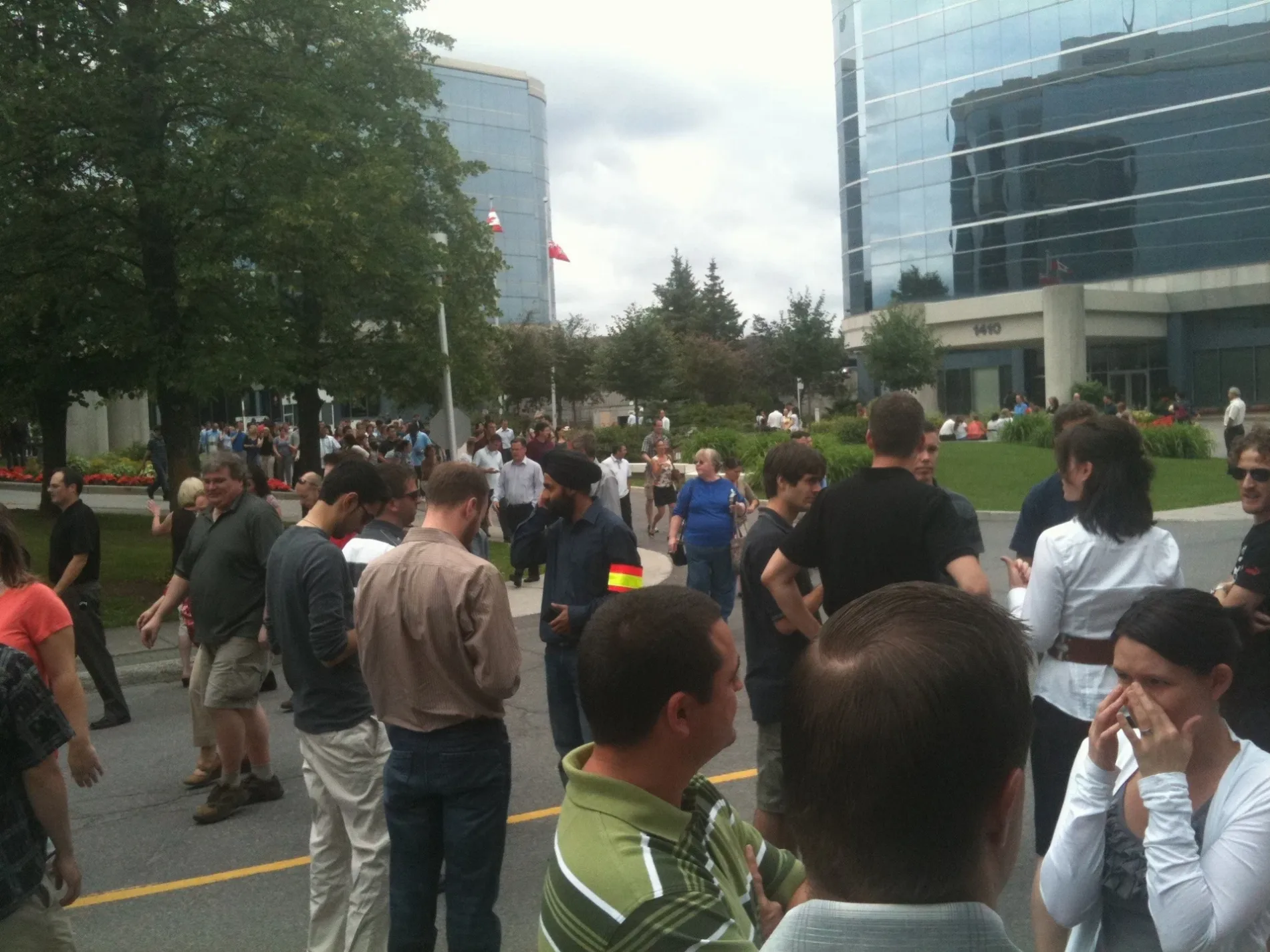
Crownhill Street in Ottawa is a two-lane, asphalted residential street (40 km/h). No sidewalks. It runs in a north-south direction starting from Séguin Street and crosses Sumac Street, Steel Street, Appleford Street and Dunham Street and ends at Blair Road. The nearest stops include Crownhill / Appleford, Crownhill / Dunham, Crownhill / Steel, Crownhill / Blair and Blair / Crownhill. The bus lines 12 and 23 serve this stop.
- Road Type
- residential street
- Speed Limit
- 40
- Lanes
- 2
- Route
- north-south
Image
Bus stops
- bus lines 12, 23
Roads nearby
Millgreen Crescent200 m
Elmlea Gate200 m
Dunham Street250 m
Claver Street250 m
Corliss Street350 m
Cloverlawn Crescent350 m
Ogilvie RoadOgilvie / Blair, Scorpion's Sting Studio, The Clip Joint, My Choc-O-La, Claude Chip Wagon, Ogilvie / Cummings, Yolkowski Monuments, Aqua Valley, All About You, Ogilvie / Lassiter, Ogilvie / Montréal, Ogilvie / Armstrong Arena, Ogilvie / 2nd Elmridge, Ogilvie / Jasmine, Ogilvie / Eastvale, Ogilvie / L B Pearson High school, Red Swan Pizza, Earl Armstrong Arena, Kender / Ogilvie, Ogilvie / Kender, Ogilvie / Elmlea, Ogilvie / AD. 1901, Ogilvie / Elmridge, Ogilvie / Naskapi, Ogilvie / City Park, Ogilvie / Dunham, Fry Time, Ogilvie / Cadboro, Ogilvie / Bathgate, Gloucester Family Optometrists, Ogilvie / Palmerston, WholeHealth Pharmacy, Good Doctors Clinic, Ogilvie / AD. 1195, SAAB Gas Station, Starbucks, Ogilvie / Ad. 1820, Ogilvie / AD. 1820, Ogilvie / Aviation, Ogilvie / Beaulieu, Ogilvie / Appleford, Bytown Orthodontics, Wavy, Super A Nails, The Lion's Mane Barbershop
350 m
Elmlea Drive400 m
Blair Towers PlaceCostco Pharmacy
400 m
Elmridge DriveElmridge School Age Program
450 m
Applegrove Court450 m
Blair RoadBlair / Davidson, Blair / Massey, Blair / Swans, Blair / Briarcliff, Blair / Montréal, Blair / Crownhill, Blair / Ogilvie, Blair / Nicol, Gloucester, Blair / Meadowbrook, Blair / Seguin
500 m
Steel StreetSteel / Crownhill
500 m
Marrissa Avenue550 m
Indigo Street550 m
Appleford Street600 m
Sumac Street700 m
Mowat StreetMowat / Blair, Mowat / Elvina, Mowat / Steel
700 m
Enigma Private800 m
Shops nearby
McAllister Dentistry200 m
Cafés nearby
Tim Hortons600 m
Commercial areas nearby
Park of Commerce500 m
Commercial buildings nearby
CSIS National Headquarters650 m
Fast food restaurants nearby
Firehouse Subs200 m
Booster Juice200 m
A&W200 m
Pita Pit200 m
BarBurrito200 m
Thaï Express250 m
Mr. Shawarma300 m
Hairdresser's nearby
Magicuts200 m
Ice rinks nearby
Fairfield Park Ice Rink400 m
Libraries nearby
Ottawa Public Library - North Gloucester Branch400 m
Light rail lines nearby
Confederation Line - East Extension500 m
Off-licences nearby
The Beer Store300 m
LCBO600 m
Parks nearby
Fairfield Park350 m
Gloucester Hydro Park450 m
Kinsmen Park600 m
Petrol stations nearby
Canadian Tire250 m
Pharmacies nearby
Shoppers Drug Mart200 m
Places of worship nearby
St. Gabriel Catholic Church300 m
Playgrounds nearby
Splash Pad - Fairfield Park350 m
Pubs nearby
Crust & Crate250 m
Residential areas nearby
Cardinal Heights100 m
Restaurants nearby
Moxie's700 m
Retail areas nearby
Gloucester Centre700 m
Sports centres nearby
Earl Armstrong Arena350 m
Wholesale shops nearby
Costco350 m
Public transport map Beacon Hill-Cyrville Legend
| Railway | |
| Bus | |
| Tram |
Cycling map Beacon Hill-Cyrville Legend
| Cycle path | |
| Cycle lane on road | |
| Cycling on bus lane | |
| Bicycle street | |
| Cyclists allowed | |
| Cyclists allowed, good surface | |
| No cycling | |
| Cobblestones |
| Long-distance cycle route | (depending on scale) | |
| Long-distance cycle route |
Walking map Beacon Hill-Cyrville Legend
| Path |
| Long-distance hiking trail | (depending on scale) | |
| Long-distance hiking trail | ||
| No pedestrians |