
Pretoria Avenue in Capital Ward
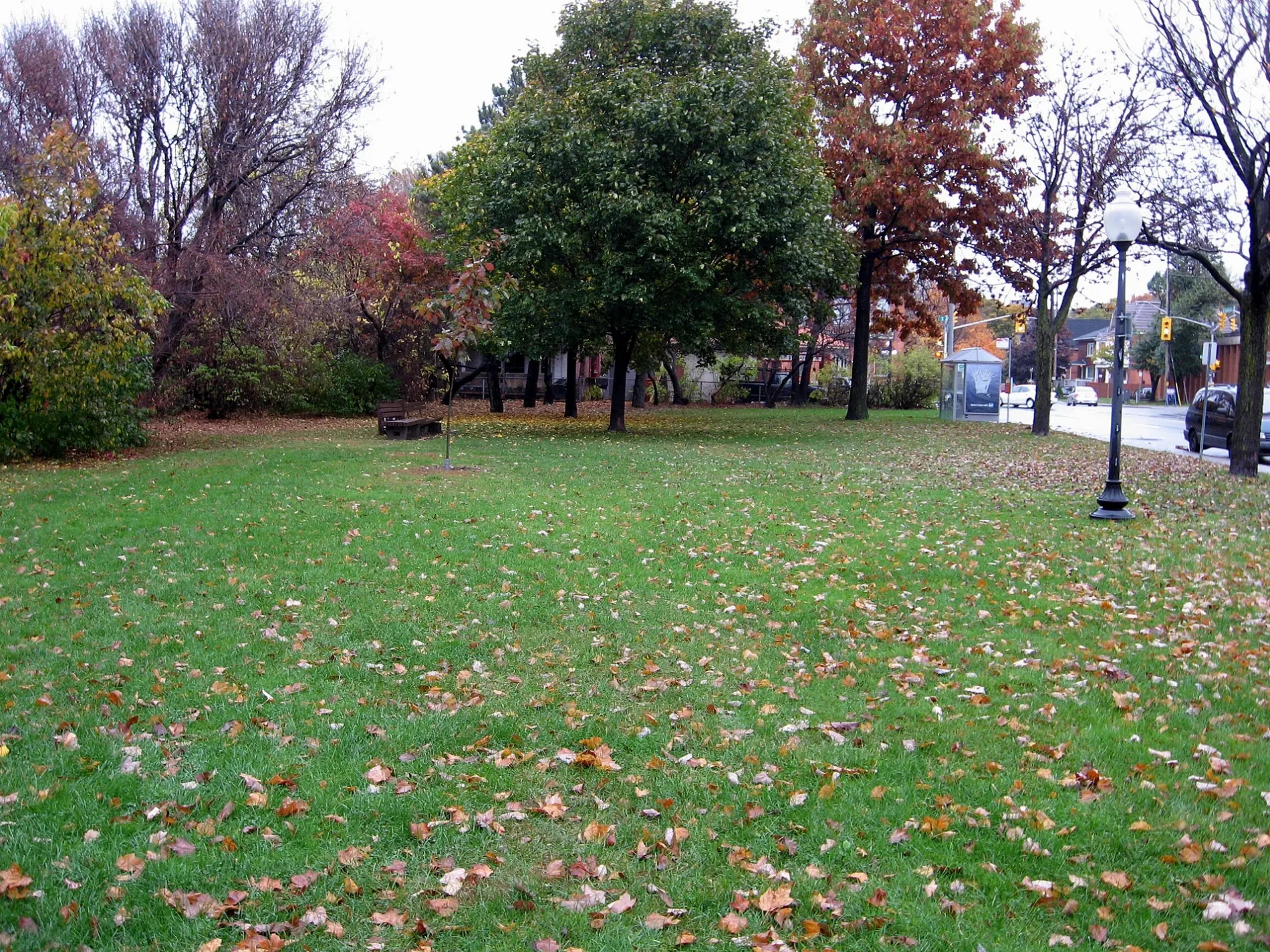
Pretoria Avenue in Ottawa is a single-lane, asphalted, lit residential street. The road has sidewalks. It runs as a one-way street in a northeast-southwest direction starting from Queen Elizabeth Driveway and crosses Metcalfe Street and O'Connor Street and ends at Bank Street. In the vicinity, you can find among other things a veterinary clinic, a convenience store, a sports shop and a restaurant. The nearest stops are Pretoria / Queen Elizabeth, Pretoria / O'Connor and Pretoria / Metcalfe. The bus line 56 stops here.
- Road Type
- residential street
- Lanes
- 1
- Route
- northeast-southwest
Image
Restaurants
Bus stops
- bus lines 56
Beauty salons
Roads nearby
Isabella StreetIsabella / O'Connor
100 m
Patterson AvenueThe Ten Spot
150 m
Monkland Avenue250 m
Hawthorne AvenueGrey Jay Hospitality, Hawthorne / Colonel By, Hawthorne / Main
250 m
Queen Elizabeth DrivewayShare The Flame, Frank Clair statue, Man with Two Hats, Flora Footbridge Info Board
250 m
Pretoria Stairs250 m
Highway 417Communauto #100, Minute Carwash
300 m
Linden Terrace300 m
Catherine StreetDave's Used Bikes, Catherine / Bay, Sherwin-Williams, The Sound Post, Catherine Street Auto, The Sharpening Shoppe, Liquid Impact Tattoos, OFL Furniture, A Fine Thing, Catherine / Bank, Instant Imprints, YMCA, Catherine / O'Connor, Catherine / Percy, re-Cycles, Catherine / Kent, Gallery 101, Dave's Drum Shop, Minute Storage, The Guest Room, Steve's Music, Back to Health Wellness Centre, GumDocs
300 m
Hawthorne Stairs350 m
Argyle AvenueLittle Free Library, Braces By Milne, Landscapes of Canada Gardens, Seven Convenience, E.M. Tailors & Dry Cleaners
350 m
Colonel By Drive350 m
Echo DriveFlora Footbridge
350 m
Patterson StairsPatterson Creek Bistro
400 m
Elgin StreetElgin / McLeod, Elgin / Argyle, Elgin / Laurier W, Elgin / Queen, Little Victories Coffee, Rentabike, Elgin / Catherine, Tiles of Time, Beckta, Subway, Raphaël Peruvian Cuisine, Elgin Street Diner, Elgin / Gladstone, El Camino, Le Petit Salon, Elgin / Nepean, Zak's Diner, Harvey's, Johnny Farina Restaurant, ROMA Barber Shop, Eyemaxx, Elgin / Lisgar, LIVE! on Elgin, The Whalesbone, Parker Clean, Kinton Ramen, Elgin / Wellington, Elgin / Slater, Hair Dynamic, Perfect Books, Boogie + Birdie, Morrison's Beauty Salon, Pakalolo, McDonald's, Pot & Pantry Kitchenware, Dollarama, Elgin / Cooper, The Gifted Type, Elgin / Somerset W, Circle K, The Standard Tavern, Elgin / Waverly, Gitanes, Pure Kitchen, Lemon Grass, Al's, Happy Fish Raw Bar, Wise Town Cafe, Pi·Rho, Rio Nails, Zesty Market, Wine Rack, Meow Tea, Dakgogi, Uncle Tetsu, Euro Bistro, Brown Loaf Bakery, Gokusen, The Oriental House, Somerset Health & Wellness Centre, Pardo Travel, Heart of Ottawa Health Centre, Bel Fiore Flowers, German Doner Kebab, Sir John A. Pub, Town, Sophia Esthetic, Manor Lounge, Elgin / Gilmour, Elgin / Lewis
400 m
Park Avenue450 m
Argyle Stairs500 m
Harvey Street550 m
Graham AvenueRiverside Montessori Pre-School, Main / Graham
550 m
Cartier Street550 m
Apartment buildings nearby
The Marbella100 m
Elgin Square Apartments350 m
Park Square400 m
Tiffany Apartments400 m
Milo Court600 m
Art galleries nearby
Studio 50600 m
Banks nearby
TD200 m
Beauty salons nearby
Only You Esthetics550 m
Bicycle shops nearby
Cyco’s450 m
Phat Moose Cycles550 m
Cafés nearby
Patterson Creek Bistro400 m
Canals nearby
Rideau Canal450 m
Clinics nearby
Ottawa River Psychology500 m
Commercial buildings nearby
Coldwell Banker300 m
Dental practices nearby
Pretoria Bridge Dental350 m
Fast food restaurants nearby
Habibi Pizza & Pies550 m
Guest house nearby
Glencree House Bed & Breakfast150 m
Hairdresser's nearby
Main Haircutters550 m
Houses nearby
Kirk Law Office450 m
Off-licences nearby
LCBO150 m
Parks nearby
NCC250 m
Ballantyne Park550 m
Pet shops nearby
Furry Friends550 m
Places of worship nearby
Church of the Ascension400 m
Canadian Martyrs Church550 m
Ottawa Chinese Bible Church550 m
Public buildings nearby
Ottawa Police Headquarters250 m
Social facilities nearby
Villagia in the Glebe50 m
Supermarkets nearby
Loblaws100 m
 Public transport map Capital Legend
| Railway | |
| Bus | |
| Tram |
 Cycling map Capital Legend
| Cycle path | |
| Cycle lane on road | |
| Cycling on bus lane | |
| Bicycle street | |
| Cyclists allowed | |
| Cyclists allowed, good surface | |
| No cycling | |
| Cobblestones |
| Long-distance cycle route | (depending on scale) | |
| Long-distance cycle route |
 Walking map Capital Legend
| Path |
| Long-distance hiking trail | (depending on scale) | |
| Long-distance hiking trail | ||
| No pedestrians |