
Rivergreen Crescent in Kanata South, Ottawa, Ontario
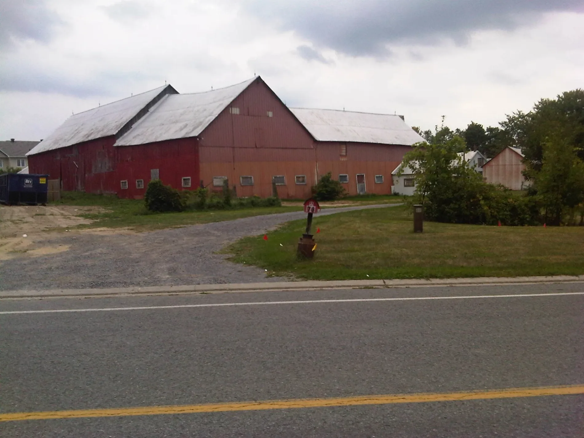
Rivergreen Crescent in Ottawa is a two-lane, asphalted residential street (40 km/h). No sidewalks. It runs in an east-west direction starting from Bridle Park Drive and ends at Windgate Crescent.
- Road Type
- residential street
- Lanes
- 2
- Speed Limit
- 40
- Route
- east-west
Image
Kindergarten
Bus stops
Roads nearby
Cedar Valley Drive100 m
Black Rivers Place150 m
Bridle Park DriveBridle Park / Black Rivers
150 m
Kingbrook Drive200 m
Stonemeadow DriveStonemeadow / Shannondoe, Stonemeadow / Bramblewood, Stonemeadow / Loyal Hill
300 m
Waymark Crescent300 m
Loyal Hill Crescent300 m
Polo Lane300 m
Equestrian DriveEquestrian / Foxleigh, Equestrian / Stableway, Equestrian / Harness
350 m
Spiritwood Drive350 m
Passageway Private350 m
Foxhall Way400 m
Shannondoe Crescent400 m
Windgate Crescent400 m
Spur Avenue450 m
Silver Horse Crescent450 m
Saddlesmith Circle500 m
Bramblewood Crescent500 m
Huntsman Crescent500 m
Thunderbird Crescent550 m
Milner Downs Crescent550 m
Sulky Way550 m
Flintridge Crescent550 m
Granite Court550 m
Bluegrass Drive550 m
Blacksmith Place600 m
Furlong Crescent600 m
Foxleigh Crescent650 m
Stirrup Place650 m
Saddlehorn Crescent650 m
Pine Hill DrivePine Hill / Stonehaven, Pinehill / Windfield, Pine Hill / Osprey, Pine Hill / Nighthawk, Pine Hill / Watertrush, Pine Hill / Windfield, Pine Hill / Peregrine
700 m
Rein Terrace750 m
Trotting Way750 m
Stable Way750 m
Stonehaven DriveStonehaven / Kinghaven, Stonehaven / Bridlewood, Stonehaven / Stonemeadow, Stonehaven / Furlong, Stonehaven / Pine Hill, Stonehaven / Harness, Stonehaven / Wiilowglen, Stonehaven / Pathway, Stonehaven / Sawyer, Stonehaven / Old Richmond, Stonehaven / Bridgestone, Stonehaven / Steeple Chase, Stonehaven / Eagleson, Stonehaven / Grassy Plains, Stonehaven / Bridle Park, Stonehaven Early Learning Centre
750 m
Cedarock Drive800 m
Bridgestone DriveBridgestone / Stonehaven, Bridgestone / Bridle Park, Bridgestone / Cedar Valley, Bridgestone / Foxhall, Bridgestone / Windways, Bridgestone / Grassy Plains, Bridgestone / Milner Downs, Bridgestone / Spur, Bridgestone / Equestrian
800 m
Springtree Place800 m
Community centres nearby
Eva James Community Centre750 m
Ice rinks nearby
Bluegrass Park Ice Rink500 m
Parks nearby
Scisson's Park300 m
Bluegrass Park550 m
Deevy Pines Park700 m
Playgrounds nearby
Splash Pad - Bluegrass Park400 m
Sports pitches nearby
Ball Diamond450 m
#2 - South500 m
#1 - North (Clay Wheaton Softball Diamond)500 m
Bridlewood Skateboard Park750 m
Woodlands nearby
Bridlewood Urban Forest450 m
 Public transport map Kanata South Legend
| Railway | |
| Bus | |
| Tram |
 Cycling map Kanata South Legend
| Cycle path | |
| Cycle lane on road | |
| Cycling on bus lane | |
| Bicycle street | |
| Cyclists allowed | |
| Cyclists allowed, good surface | |
| No cycling | |
| Cobblestones |
| Long-distance cycle route | (depending on scale) | |
| Long-distance cycle route |
 Walking map Kanata South Legend
| Path |
| Long-distance hiking trail | (depending on scale) | |
| Long-distance hiking trail | ||
| No pedestrians |