
Ravenhill Avenue East in Kitchissippi, Ottawa, Ontario
Ravenhill Avenue East in Ottawa is a two-lane, asphalted residential street (30 km/h). The road has a sidewalk as well as parking spaces. It runs in a northeast-southwest direction starting from Melbourne Avenue and crosses Edison Avenue and ends at Churchill Avenue North. In the vicinity, there is a photography shop. The nearest bus stop in the vicinity is Churchill / Byron (approx. 100 m away).
- Road Type
- residential street
- Lanes
- 2
- Speed Limit
- 30
- Route
- northeast-southwest
Image
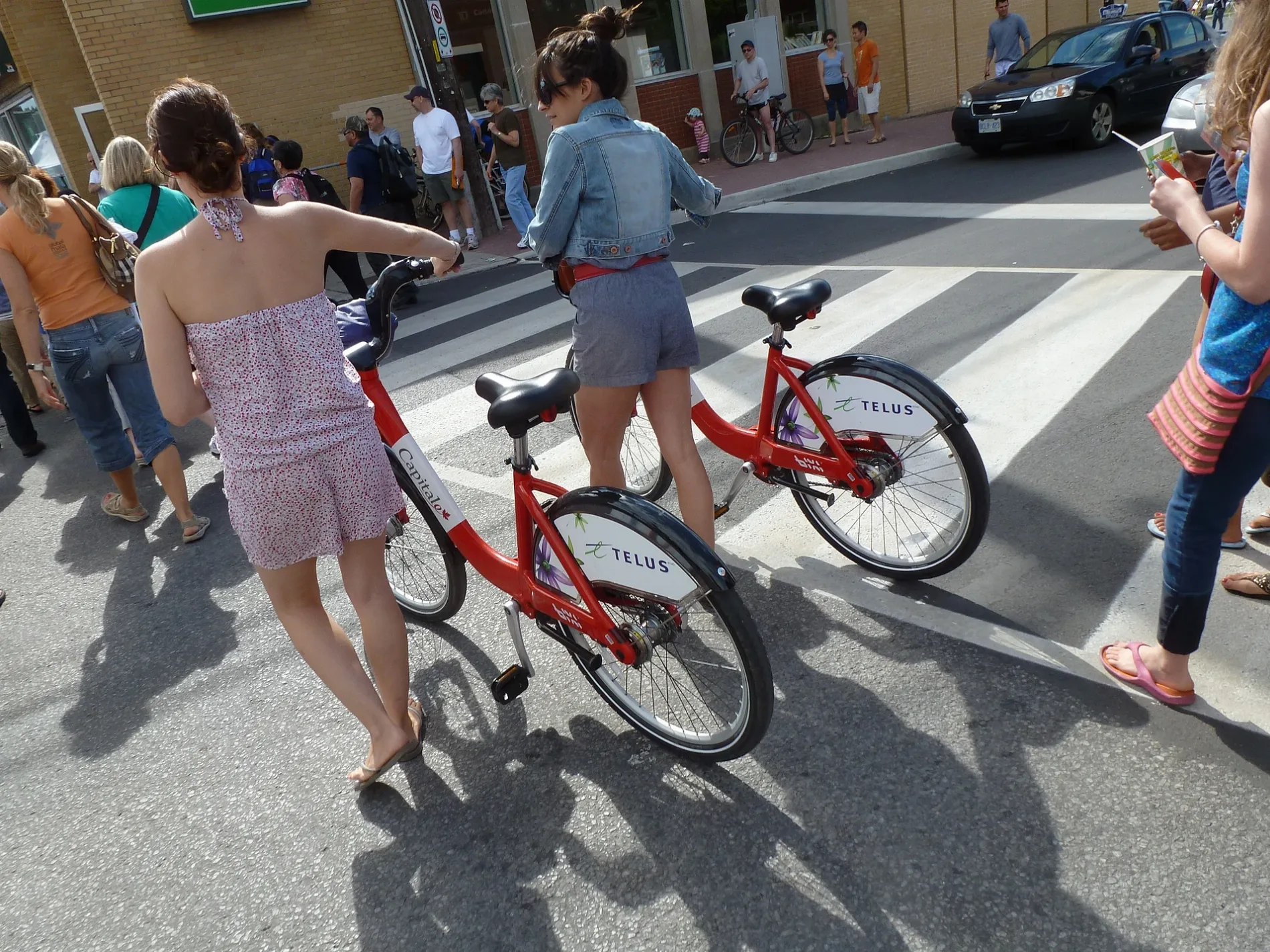
Photography shops
Roads nearby
Edison Avenue150 m
Byron PlaceShort Story, Communauto
200 m
Lower Byron Avenue200 m
Danforth AvenueMEC Bicycle Workshop, Back on Track Physiotherapy, Neon Skates, Communauto #16
200 m
Kenwood Avenue200 m
Roosevelt AvenueMamie Clafoutis, Dr. Rick McCendie/Dr. Francine Chappus, Ottawa Institute of Cognitive Behaviour Therapy, Solefit, Churchill Carling Daycare, St. Matthew the Apostle, Richmond / Roosevelt, Westboro Village Co-operative Preschool
200 m
Churchill Avenue NorthChurchill / Scott, Westboro Chiropractic Clinic, Buddhist Centre, Churchill / Transit Bridge, Churchill / Carling, Churchill / Greenwood, Churchill / Tillbury, Churchill / Westhill, Churchill / Avondale, Churchill / Kenwood, Churchill / Byron, Churchill / Clare, Churchill / Princeton, gezellig, Churchill / Richmond, Churchill / Lanark, Churchill / Workman
200 m
Highcroft Avenue250 m
Lincoln Avenue250 m
Elvis Lives Lane300 m
Cole Avenue300 m
Winona Avenue350 m
Eden AvenuePharmasave, Canada Post
350 m
Wesley Avenue350 m
Athlone Avenue400 m
Princeton Avenue400 m
Melbourne Avenue600 m
Apartment buildings nearby
The Posthouse350 m
Banks nearby
BMO400 m
Buildings nearby
399 Winston Ave250 m
Cafés nearby
Equator Coffee250 m
Clinics nearby
Westboro Psychology150 m
Commercial buildings nearby
Festival House100 m
Laundry Land150 m
The Eiffel Building200 m
Community centres nearby
Churchill Seniors Recreation Centre250 m
Constructions nearby
CLV Developments350 m
Curtain shops nearby
Ottawa Drapery150 m
Dental practices nearby
Westboro Dental Centre200 m
Detached houses nearby
Westboro Masonic Hall150 m
The Co-operators150 m
Austrian Home Renovations200 m
Fast food restaurants nearby
McDonald's200 m
Hairdresser's nearby
Valerie's Hair Studio150 m
Westboro Spa150 m
Houses nearby
Continuum Fitness150 m
Kindergartens nearby
Westboro Montessori Children's House200 m
Ottawa Mothercraft350 m
Massage parlours nearby
Kneaded Touch.ca200 m
Outdoor shops nearby
MEC Mountain Equipment Company200 m
Parks nearby
Clare Gardens Park450 m
Places of worship nearby
Westminster Presbyterian Church250 m
Highland Park Wesleyan Church300 m
Our Lady of Lavang Parish350 m
Schools nearby
Blyth Academy150 m
Social centres nearby
Royal Canadian Legion - Westboro250 m
Social facilities nearby
Cornerstone’s Housing for Women400 m
Tattoo studios nearby
Freeworld Tattoo150 m
Travel agencies nearby
Senior Discovery Tours200 m
Public transport map Kitchissippi Legend
| Railway | |
| Bus | |
| Tram |
Cycling map Kitchissippi Legend
| Cycle path | |
| Cycle lane on road | |
| Cycling on bus lane | |
| Bicycle street | |
| Cyclists allowed | |
| Cyclists allowed, good surface | |
| No cycling | |
| Cobblestones |
| Long-distance cycle route | (depending on scale) | |
| Long-distance cycle route |
Walking map Kitchissippi Legend
| Path |
| Long-distance hiking trail | (depending on scale) | |
| Long-distance hiking trail | ||
| No pedestrians |