
Navaho Drive in College, Nepean, Ontario
Navaho Drive in Nepean is a two-lane, asphalted, lit tertiary road. The road has partly a sidewalk. It crosses Woodside Drive, Tara Drive, Agincourt Road, Cannon Crescent, Albany Drive, Sherman Drive, Laxton Crescent, Iris Street, Matthews Avenue, Forman Avenue and Paisley Avenue and comes from Erindale Drive. In the vicinity, there is among other things a post office. The nearest stops include Navaho / Baseline, Navaho / Agincourt, Navaho / Albany, Navaho / Erindale and Navaho / Woodside. The bus lines 87 and 88 serve this stop.
- Road Type
- tertiary road
- Lanes
- 2
Image
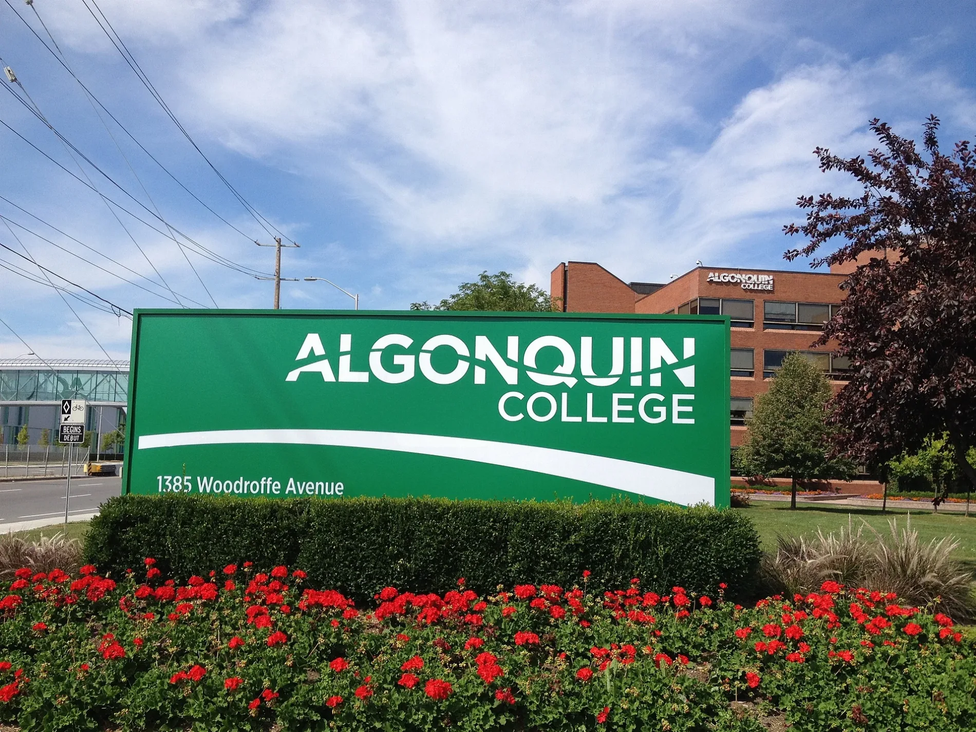
Post offices
Roads nearby
1st Floor CorridorAlgonquin College Salon, Spa & Boutique, Tim Hortons, Algonquin College Library, Algonquin Health Services, First Cup
150 m
2nd Floor CorridorPortable Feast, Algonquin College Massage Clinic, The Fix, Algonquin
250 m
Baseline RoadBaseline / Navaho, Baseline / Q.C.H., Baseline / Deer Field, Baseline / Ferguson, Baseline / Rockway, Baseline Dental, Living Music Studios, DAC Medical Vision, Larry's Defensive Driving School, Dr. H. Duong, The Redeemed Christian Church of God, Jana Fox Facials, Dr. Shelly Jordon Clinical Psychologist, Dr. Lily Wong Family Dentistry, Dr. K.A. Beauchamp Optometry, Dr. Selwyn X. De Souza, Dr. A Malik, Universal Driving School, Baseline / Bassano, Baseline / St Helen's, Baseline / Pender, Baseline / Cordova, AZ Wireless, Pierre's Barber Shop, Jenkins Hardwood Flooring, Hi-Tech Mobile Repairs, The Perfect Cut, Circle K, Baseline / Highgate, Baseline / Guthrie, Baseline / Monterey, Baseline / Greenbank, Baseline / Cedarview, Baseline / Valley Stream, Baseline / AD. 2347, Baseline / Southwood, Baseline / Clyde, Tim Hortons, Big Joe's Convenience, Milano Pizzeria, Platinum Tattoos, Silverstar Automotive, Baseline / Robertson, Baseline / Sioux, Baseline / AD. 2323, Baseline / Sandcastle, Baseline / Mcwatters, Pharma City Drugstore, Baseline / Centrepointe, Baseline / Cobden
350 m
Constellation DriveConstellation / Gemini, 9225-2470 Parking Pay Machine, 9223-2437 Parking Pay Machine, 9220-2220 Parking Pay Machine, Tim Hortons, Ontario Court of Justice, Happy Goat Coffee Co., The Smile Doctors, Best Cut, FlavaDaddy, Parking Payment Machine
350 m
Woodroffe AvenueWoodroffe / Baseline, Woodroffe / Iris, Woodroffe / Domalatchy, Woodroffe / Field, Woodroffe / Norice, Woodroffe / Highway 417, Woodroffe / David, Woodroffe / Tallwood, Bank of Montreal, Chungchun, Woodroffe / Meadowlands, Highway 417 / Woodroffe, Woodroffe / Parkglen, Woodroffe / Adirondack
400 m
Gemini WayLifeLabs, CBI Health Centre, Centerpointe Medical Centre, Vision Plus, Dr. Jessica Cantor
400 m
TransitwayElectric Circuit DCFC, Queensway, Baseline 2A, Baseline 1D, Baseline 1C, Baseline 1B, Baseline 2B, Baseline 1A, Baseline Off Stop, Communauto #51, Eagleson 2B, Communauto #65, Iris 2A
450 m
Pinecrest Creek PathwayDiscover Pinecrest Creek, Pinecrest Creek Pathway, Iris 1A, Queensway 4A
550 m
Westpointe Crescent650 m
Apartment buildings nearby
Gemini Tower450 m
Banks nearby
BMO250 m
Beauty salons nearby
Magic Nails & Spa400 m
Cafés nearby
Starbucks200 m
Gong Cha200 m
Clothing shops nearby
Carter's OshKosh150 m
La Vie en Rose150 m
Reitmans200 m
Colleges nearby
Algonquin Centre for Construction Excellence250 m
B Building250 m
Commercial buildings nearby
Woodline Building350 m
Mary Pitt Centre450 m
Nepean Medical Centre550 m
Constructions nearby
Stage 2 LRT - Algonquin Station450 m
Stage 2 LRT550 m
Cosmetics shops nearby
Bath & Body Works100 m
Dental practices nearby
College Square Dental200 m
Fast food restaurants nearby
Popeyes200 m
Kettleman's Bagel Co.200 m
Thaï Express200 m
Edo Japan200 m
Mucho Burrito200 m
Osmow's200 m
Hairdresser's nearby
Chatters250 m
Jeweller's nearby
Spence Diamonds150 m
Mobile phone shops nearby
Fido200 m
Rogers250 m
Off-licences nearby
The Beer Store300 m
Opticians nearby
Hakim Optical400 m
Parks nearby
Ben Franklin Place600 m
Patisseries nearby
Crumbl Cookies100 m
Residential areas nearby
C.C.C. 606650 m
Restaurants nearby
Allô! Mon Coco150 m
Summerhays Restaurant400 m
Shoe shops nearby
Ottawa Orthopedic Centre100 m
Sports 4150 m
Sports pitches nearby
Legacy Skateboard Park400 m
Streams nearby
Pinecrest Creek450 m
Supermarkets nearby
Loblaws300 m
Town halls nearby
Ben Franklin Place Client Service Centre550 m
Public transport map College Legend
| Railway | |
| Bus | |
| Tram |
Cycling map College Legend
| Cycle path | |
| Cycle lane on road | |
| Cycling on bus lane | |
| Bicycle street | |
| Cyclists allowed | |
| Cyclists allowed, good surface | |
| No cycling | |
| Cobblestones |
| Long-distance cycle route | (depending on scale) | |
| Long-distance cycle route |
Walking map College Legend
| Path |
| Long-distance hiking trail | (depending on scale) | |
| Long-distance hiking trail | ||
| No pedestrians |