
Parkglen Drive in College, Nepean, Ontario
Parkglen Drive in Nepean is a two-lane, asphalted residential street (40 km/h). No sidewalks. It runs in an east-west direction starting from Woodroffe Avenue and crosses Andover Place, Parkglen Court and Birchview Road and ends at Withrow Avenue.
- Road Type
- residential street
- Lanes
- 2
- Route
- east-west
Image
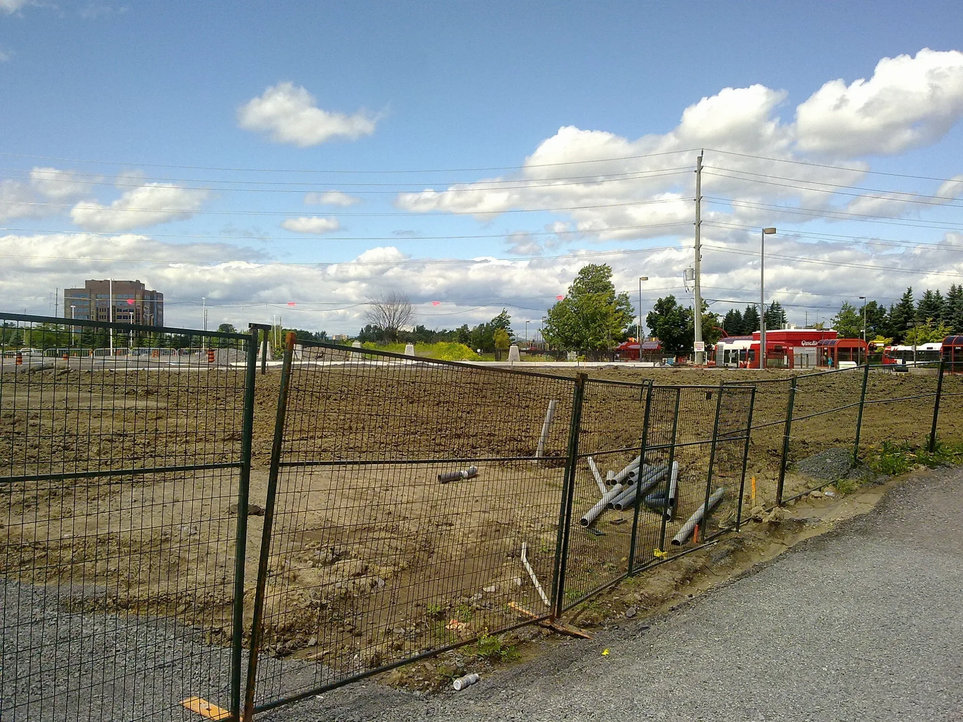
Roads nearby
TransitwayQueensway, Baseline 2A, Baseline 1D, Baseline 1C, Baseline 1B, Baseline 2B, Baseline 1A, Baseline Off Stop, Communauto #51, Eagleson 2B, Communauto #65, Iris 2A, Electric Circuit DCFC
200 m
Birchview Road200 m
Adjidjàk PrivateAlgonquin College Early Learning Centre
250 m
David DriveCapital International Academy School
250 m
Woodroffe AvenueWoodroffe / David, Woodroffe / Iris, Woodroffe / Domalatchy, Woodroffe / Field, Woodroffe / Norice, Woodroffe / Highway 417, Woodroffe / Tallwood, Woodroffe / Baseline, Bank of Montreal, Chungchun, Woodroffe / Meadowlands, Highway 417 / Woodroffe, Woodroffe / Parkglen, Woodroffe / Adirondack
250 m
Andover Place250 m
1st Floor CorridorAlgonquin College Library, Algonquin Health Services, First Cup, Algonquin College Salon, Spa & Boutique, Tim Hortons
300 m
Dalkowski Private350 m
Pallister Private350 m
Nigig PrivateAlgonquin College / College, Connections, the Campus Store, Marketplace Food Court, Luigi’s Pizza & Pastas, Kelly’s Grill, Taste of Asia, It’s a Wrap, Print Stop, The Observatory
350 m
Bratislava Court350 m
Howden Avenue350 m
Parkglen Court400 m
Meadowlands Drive WestAmanda Salon & Beauty Supply, Brampton Indian Food, Meadowlands / Woodroffe, Meadowlands / Sullivan, Meadowlands / Thatcher, Meadowlands / Savuto, Meadowlands / Brooklane, Meadowlands / Bayne, Cityview Family Dental Centre, Dr. Kevin Ratray Dentistry, Meadowlands / Indian, Meadowlands / Viewmount, Meadowlands / Merivale, Meadowlands / Joan, Meadowlands / Perry, Meadowlands / Peter
450 m
Tallwood DriveTallwood / Woodroffe, Archive, Tallwood / Avenshire, Tallwood / Meridian
500 m
Meridian PlaceNepean Bell, Centrepointe Cafe & Deli
500 m
Avenshire Gate550 m
Donna Street700 m
Shops nearby
Donley's Pool Services350 m
Apartment buildings nearby
Maple and Willow Houses250 m
Elm and Pine Houses350 m
Bungalows450 m
Beauty salons nearby
Woodroffe Health & Beauty Spa300 m
Car repair shops nearby
Krown350 m
Colleges nearby
M Building150 m
K Building250 m
B Building250 m
Commercial buildings nearby
Woodroffe Chiropractic500 m
BackTracks Health Centre600 m
Auger Hollingsworth600 m
Oegema, Nicholson Insurance700 m
Constructions nearby
Stage 2 LRT - Algonquin Station150 m
Convenience stores nearby
Super Stop450 m
Currency exchanges nearby
PCE650 m
E-cigarette shops nearby
Vapanada500 m
Fast food restaurants nearby
Cathay350 m
Mr. Mozzarella500 m
Gardens nearby
Algonquin College Horticulture Gardens250 m
Mobile phone shops nearby
Freedom Mobile500 m
Museum nearby
James Bartleman Archives and Library Materials Centre550 m
Parks nearby
Ishkodewan Courtyard300 m
Petrol stations nearby
Petro-Canada450 m
Restaurants nearby
Crispy's Grill & Resto500 m
New Hong Kong Chinese Restaurant500 m
Social facilities nearby
The Meridian450 m
City View Retirement Community450 m
Peter D Clark Long Term Care Home500 m
Sports pitches nearby
Legacy Skateboard Park150 m
Tobacconist's nearby
Puffalot500 m
 Public transport map College Legend
| Railway | |
| Bus | |
| Tram |
 Cycling map College Legend
| Cycle path | |
| Cycle lane on road | |
| Cycling on bus lane | |
| Bicycle street | |
| Cyclists allowed | |
| Cyclists allowed, good surface | |
| No cycling | |
| Cobblestones |
| Long-distance cycle route | (depending on scale) | |
| Long-distance cycle route |
 Walking map College Legend
| Path |
| Long-distance hiking trail | (depending on scale) | |
| Long-distance hiking trail | ||
| No pedestrians |