
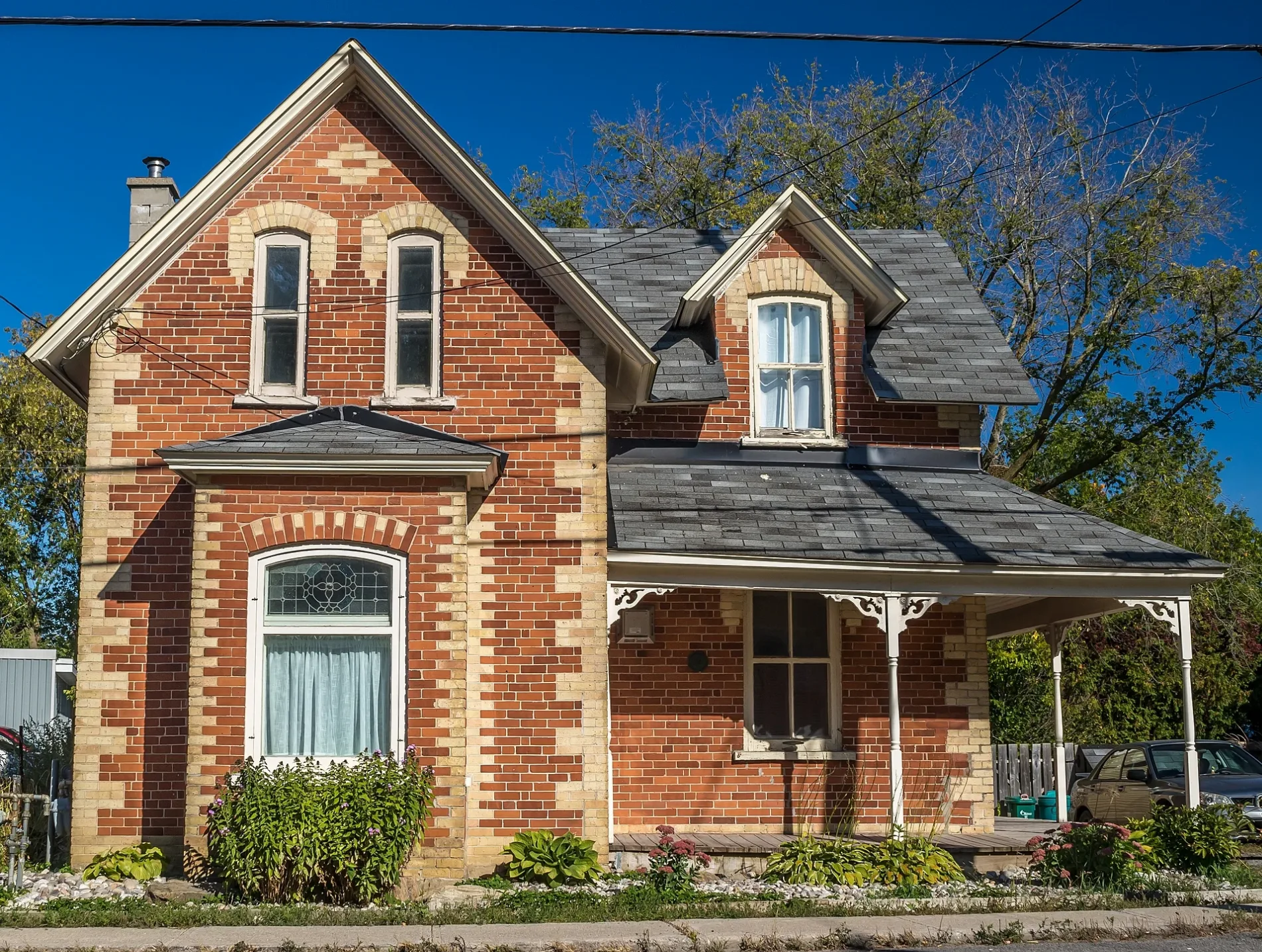
Church Street in Rideau-Jock, Ottawa, Ontario
Church Street in Ottawa is a two-lane tertiary road (50 km/h). The road has partly a sidewalk. It runs in a northeast-southwest direction starting from Fourth Line Road and crosses Perkins Drive, Carolin Court, Lenida Drive and Farmstead Ridge and ends at McCordick Road.
- Road Type
- tertiary road
- Lanes
- 2
- Speed Limit
- 50
- Route
- northeast-southwest
Image
Off-licences
Pharmacy
Museum
- Rideau Museum & Archives (web) at Fourth Line Road 6581 – approx. 400 m.
Chalet
Bus stops
- bus lines 305
Fast food restaurants
Cafés
Florist's
Kindergarten
Library
Roads nearby
Perkins DrivePerkins / Roger Steven, Perkins / Church, North Gower Pizza, Floral Reef Designs, The Kitcheness
200 m
Carolin Court200 m
Roger Stevens DriveRoger Stevens / Second Line, Roger Stevens / Trailwood, Roger Stevens / Third Line, Tim Hortons, Roger Stevens / James Craig
250 m
Andrew StreetLCBO outlet, The Beer Store
300 m
James Craig Street350 m
Community WayNorth Gower Co-operative Nursery School
400 m
Prince Of Wales Drive500 m
Craighurst Drive500 m
Willisbrook Drive550 m
Lenida Drive600 m
Relin Way600 m
Garmil Crescent800 m
Michelangelo Court800 m
Fourth Line RoadNorth Gower Pharmacy, Freshman Pizza, Ottawa Public Library - North Gower Branch, Rideau Museum & Archives, Fourth Line / Andrew
800 m
Farmstead Ridge900 m
Maple Forest Drive1,1 km
DIY stores nearby
Home Building Centre200 m
The Old Co Op350 m
Banks nearby
RBC500 m
Bowling alleies nearby
North Gower Bowling Alley650 m
Buildings nearby
H O Wright & Sons350 m
Car repair shops nearby
Ebbers Mechanical Repair150 m
Boivin Automotive Repair400 m
Convenience stores nearby
Mulligan's Grocery350 m
Dental practices nearby
North Gower Dental400 m
Fast food restaurants nearby
Milano300 m
Fire stations nearby
Ottawa Fire Station 83250 m
Ice rinks nearby
Alfred Taylor Ice Rink400 m
Marketplaces nearby
North Gower Farmers Market550 m
Parks nearby
Horace Seabrook Park100 m
Peggy's Park250 m
Alfred Taylor Recreation Facility - North Gower350 m
Lenida Drive Park650 m
Craighurst Drive Park650 m
Ferguson Pratt Park650 m
Farmstead Ridge Park750 m
Petrol stations nearby
Stinson450 m
Places of worship nearby
North Gower United Church100 m
Holy Trinity Anglican Church North Gower250 m
Cornerstone Wesleyan Church650 m
Pubs nearby
Marlborough Pub400 m
Residential areas nearby
Maple Forest Estates1000 m
Service buildings nearby
Bell Canada North Gower NRGWON01RS0500 m
Shelters nearby
Horace Seabrook Gazebo100 m
Social facilities nearby
Oak Ridge400 m
Sports centres nearby
Alfred Taylor Recreation Centre400 m
Sports pitches nearby
Public Tennis Courts400 m
Ball Diamond600 m
Streams nearby
Stevens Creek400 m
Public transport map Rideau-Jock Legend
| Railway | |
| Bus | |
| Tram |
Cycling map Rideau-Jock Legend
| Cycle path | |
| Cycle lane on road | |
| Cycling on bus lane | |
| Bicycle street | |
| Cyclists allowed | |
| Cyclists allowed, good surface | |
| No cycling | |
| Cobblestones |
| Long-distance cycle route | (depending on scale) | |
| Long-distance cycle route |
Walking map Rideau-Jock Legend
| Path |
| Long-distance hiking trail | (depending on scale) | |
| Long-distance hiking trail | ||
| No pedestrians |